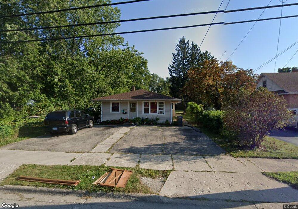
1711 10th St Waukegan, IL 60085
Lyon Acres NeighborhoodEstimated Value: $242,126 - $289,000
4
Beds
2
Baths
1,716
Sq Ft
$154/Sq Ft
Est. Value
About This Home
This home is located at 1711 10th St, Waukegan, IL 60085 and is currently estimated at $265,032, approximately $154 per square foot. 1711 10th St is a home located in Lake County with nearby schools including Clearview Elementary School, John R Lewis Middle School, and Waukegan High School.
Ownership History
Date
Name
Owned For
Owner Type
Purchase Details
Closed on
Mar 25, 2016
Sold by
Parks Arthur Lee and Parks Harold Russel
Bought by
Barrera Orsy
Current Estimated Value
Purchase Details
Closed on
Mar 26, 2003
Sold by
Schapals Ruth D and Parks Robert
Bought by
Schapals Ruth D
Purchase Details
Closed on
May 23, 2002
Sold by
Parks Robert and Robertson Ruth
Bought by
Schapals Ruth D and Parks Robert
Purchase Details
Closed on
May 21, 2002
Sold by
Schapals Walter V and Schapals Ruth D
Bought by
Parks Robert and Robertson Ruth
Create a Home Valuation Report for This Property
The Home Valuation Report is an in-depth analysis detailing your home's value as well as a comparison with similar homes in the area
Home Values in the Area
Average Home Value in this Area
Purchase History
| Date | Buyer | Sale Price | Title Company |
|---|---|---|---|
| Barrera Orsy | $61,500 | Ct | |
| Schapals Ruth D | -- | -- | |
| Schapals Ruth D | -- | -- | |
| Parks Robert | -- | -- |
Source: Public Records
Tax History Compared to Growth
Tax History
| Year | Tax Paid | Tax Assessment Tax Assessment Total Assessment is a certain percentage of the fair market value that is determined by local assessors to be the total taxable value of land and additions on the property. | Land | Improvement |
|---|---|---|---|---|
| 2024 | $4,343 | $66,934 | $8,002 | $58,932 |
| 2023 | $4,302 | $54,932 | $6,567 | $48,365 |
| 2022 | $4,302 | $50,608 | $5,448 | $45,160 |
| 2021 | $4,734 | $52,177 | $4,859 | $47,318 |
| 2020 | $4,752 | $48,609 | $4,527 | $44,082 |
| 2019 | $4,730 | $44,542 | $4,148 | $40,394 |
| 2018 | $5,627 | $48,887 | $3,669 | $45,218 |
| 2017 | $5,228 | $43,251 | $3,246 | $40,005 |
| 2016 | $4,058 | $37,584 | $2,821 | $34,763 |
| 2015 | $2,051 | $33,638 | $2,525 | $31,113 |
| 2014 | $1,913 | $21,634 | $2,197 | $19,437 |
| 2012 | $2,910 | $23,440 | $2,381 | $21,059 |
Source: Public Records
Map
Nearby Homes
- 1712 11th St
- 819 S Fulton Ave
- 1511 14th St
- 1244 Victoria Ave
- 724 10th St
- 1210 Park Ave
- 1521 Seymour Ave
- 815 Prescott St
- 910 Cummings Ave
- 720 13th St
- 1101 Adams St
- 1423 Victoria Ave
- 1301 Park Ave
- 1617 Grove Ave
- 1102 Wadsworth Ave
- 1535 Glenn Dr
- 631 8th St
- 842 Wadsworth Ave
- 1542 Victoria Ave
- 446 S Jackson St