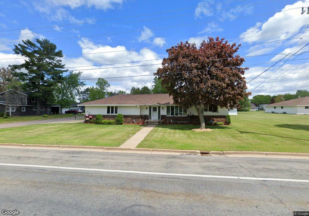
1711 1st St S Wisconsin Rapids, WI 54494
Estimated Value: $255,000 - $307,000
--
Bed
--
Bath
--
Sq Ft
0.28
Acres
About This Home
This home is located at 1711 1st St S, Wisconsin Rapids, WI 54494 and is currently estimated at $269,634. 1711 1st St S is a home located in Wood County with nearby schools including Grove Elementary School, Wisconsin Rapids Area Middle School, and East Junior High School.
Ownership History
Date
Name
Owned For
Owner Type
Purchase Details
Closed on
Jun 30, 2013
Sold by
Haasl Gerald W and Haasl Dawn M
Bought by
Strodman Avenue Llc
Current Estimated Value
Purchase Details
Closed on
Dec 27, 2012
Sold by
Tomsyck Raymond J
Bought by
Haasl Enterprises Llc
Home Financials for this Owner
Home Financials are based on the most recent Mortgage that was taken out on this home.
Original Mortgage
$37,000
Interest Rate
3.34%
Mortgage Type
New Conventional
Create a Home Valuation Report for This Property
The Home Valuation Report is an in-depth analysis detailing your home's value as well as a comparison with similar homes in the area
Home Values in the Area
Average Home Value in this Area
Purchase History
| Date | Buyer | Sale Price | Title Company |
|---|---|---|---|
| Strodman Avenue Llc | -- | None Available | |
| Haasi Joint Revocable Trust | -- | None Available | |
| Haasl Enterprises Llc | $375,000 | None Available |
Source: Public Records
Mortgage History
| Date | Status | Borrower | Loan Amount |
|---|---|---|---|
| Closed | Haasl Enterprises Llc | $37,000 |
Source: Public Records
Tax History Compared to Growth
Tax History
| Year | Tax Paid | Tax Assessment Tax Assessment Total Assessment is a certain percentage of the fair market value that is determined by local assessors to be the total taxable value of land and additions on the property. | Land | Improvement |
|---|---|---|---|---|
| 2024 | $5,004 | $250,300 | $14,900 | $235,400 |
| 2023 | $4,495 | $158,600 | $14,900 | $143,700 |
| 2022 | $4,490 | $158,600 | $14,900 | $143,700 |
| 2021 | $4,380 | $158,600 | $14,900 | $143,700 |
| 2020 | $4,208 | $158,600 | $14,900 | $143,700 |
| 2019 | $4,184 | $158,600 | $14,900 | $143,700 |
| 2018 | $4,102 | $158,600 | $14,900 | $143,700 |
| 2017 | $4,050 | $152,900 | $13,500 | $139,400 |
| 2016 | $3,981 | $151,500 | $13,500 | $138,000 |
| 2015 | $3,953 | $151,500 | $13,500 | $138,000 |
Source: Public Records
Map
Nearby Homes
- 99 River Ridge Rd
- 2320 2nd St S
- 445 Pepper Ave
- 350 Madison St
- 2720 3rd St S
- 840 6th St S
- 640 Lee St
- 2841 Lincoln St
- 454 Shady Ln
- 911 Pepper Ave
- 1426 21st Ave S Unit 1426
- 1410 21st Ave S
- 2331 10th St S
- 711 E Grand Ave
- 2020 Carey St
- 630 17th Ave S
- 2310 2nd Ave S
- 941 13th St S
- 141 10th St N
- 2130 James Ct
- 1651 1st St S
- 311 Taylor Ave
- 350 Strodman Ave
- 351 Strodman Ave
- 400 Daly Ave
- 400 Daly Ave Unit Suite 102 & 103A
- 331 Taylor Ave
- 330 Taylor Ave
- 401 Strodman Ave
- 340 Taylor Ave
- 406 Strodman Ave
- 1841 3rd St S
- 1721 4th St S
- 408 Strodman Ave
- 405 Strodman Ave
- 341 Miller Ave
- 400 Taylor Ave
- 1710 Elm St
- 1720 Elm St
- 351 Miller Ave