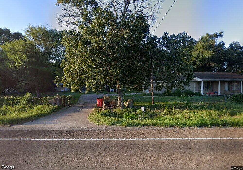
1711 Bethlehem Rd Lufkin, TX 75904
Estimated Value: $166,000 - $278,000
3
Beds
1
Bath
1,408
Sq Ft
$154/Sq Ft
Est. Value
About This Home
This home is located at 1711 Bethlehem Rd, Lufkin, TX 75904 and is currently estimated at $216,542, approximately $153 per square foot. 1711 Bethlehem Rd is a home located in Angelina County with nearby schools including W.F. Peavy Primary School, W.H. Bonner Elementary School, and Hudson Middle School.
Ownership History
Date
Name
Owned For
Owner Type
Purchase Details
Closed on
Jan 23, 2025
Sold by
Castro Hector and Castro Laura
Bought by
Castro Hector and Castro Laura
Current Estimated Value
Purchase Details
Closed on
Aug 15, 2005
Sold by
Montalvo Martin H and Montalvo Ivonne Y
Bought by
Castro Hector
Home Financials for this Owner
Home Financials are based on the most recent Mortgage that was taken out on this home.
Original Mortgage
$64,000
Interest Rate
9%
Mortgage Type
Adjustable Rate Mortgage/ARM
Create a Home Valuation Report for This Property
The Home Valuation Report is an in-depth analysis detailing your home's value as well as a comparison with similar homes in the area
Home Values in the Area
Average Home Value in this Area
Purchase History
| Date | Buyer | Sale Price | Title Company |
|---|---|---|---|
| Castro Hector | -- | None Listed On Document | |
| Castro Hector | $64,000 | None Available |
Source: Public Records
Mortgage History
| Date | Status | Borrower | Loan Amount |
|---|---|---|---|
| Previous Owner | Castro Hector | $64,000 |
Source: Public Records
Tax History
| Year | Tax Paid | Tax Assessment Tax Assessment Total Assessment is a certain percentage of the fair market value that is determined by local assessors to be the total taxable value of land and additions on the property. | Land | Improvement |
|---|---|---|---|---|
| 2025 | $2,727 | $183,690 | $45,290 | $138,400 |
| 2024 | $2,662 | $180,370 | $45,320 | $135,050 |
| 2023 | $2,406 | $178,150 | $45,320 | $132,830 |
| 2022 | $2,494 | $172,400 | $32,370 | $140,030 |
| 2021 | $2,472 | $158,200 | $32,370 | $125,830 |
| 2020 | $2,250 | $122,510 | $15,200 | $107,310 |
| 2019 | $2,258 | $118,940 | $14,760 | $104,180 |
| 2018 | $1,743 | $115,710 | $14,760 | $100,950 |
| 2017 | $1,743 | $107,480 | $11,820 | $95,660 |
| 2016 | $1,995 | $103,870 | $11,820 | $92,050 |
| 2015 | $1,627 | $101,160 | $11,820 | $89,340 |
| 2014 | $1,627 | $99,470 | $11,820 | $87,650 |
Source: Public Records
Map
Nearby Homes
- Lot 2 Bethlehem Rd
- 1568 S Fm 706
- 105,115,116,195 Wilcox Dr
- 183 Falcon Ave
- 260 Falcon Ave
- 2459 Bethlehem Rd
- 3405 Bethlehem Rd
- 1072 Stephenson Brown Rd
- PID 25110 James Oates Rd
- 0000 Roy Christie Rd
- 405 Ben Dunn Rd
- 176 Lancewood Cir
- 448 Ben Dunn Rd
- 151 Lancewood Cir
- 375 John Lucy Ln
- 151 Plum Ridge
- 895 Foster Rd
- 905 Foster Rd
- 450 Evans Gann Rd
- 448 Ashwood Bend
- 1739 S Fm 706
- 1723 Farm To Market 706
- 1685 S Fm 706
- 132 Stephenson Brown Rd
- 1790 S Fm 706
- 0 Bethlehem Rd
- 343 Bethlehem Rd
- 00 Bethlehem Rd
- 1803 S Fm 706
- 1774 S Fm 706
- 1722 S Fm 706
- 1816 S Fm 706
- 1809 S Fm 706
- 200 Stephenson Brown Rd
- 139 Stephenson Brown Rd
- 139 Stephenson Brown Rd
- 1812 S Farm To Market 706
- 114 Porter Rd
- 1875 S Fm 706
- 1875 S Fm 706
Your Personal Tour Guide
Ask me questions while you tour the home.