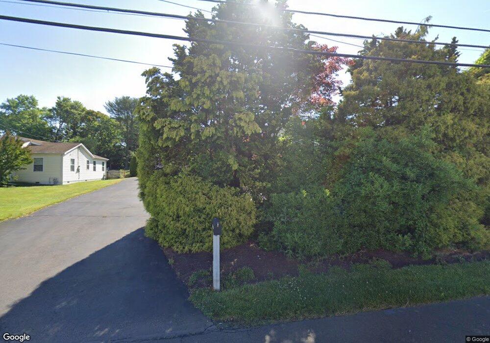
1711 Durham Rd Langhorne, PA 19047
Estimated Value: $424,604 - $521,000
3
Beds
1
Bath
1,686
Sq Ft
$275/Sq Ft
Est. Value
About This Home
This home is located at 1711 Durham Rd, Langhorne, PA 19047 and is currently estimated at $464,151, approximately $275 per square foot. 1711 Durham Rd is a home located in Bucks County with nearby schools including Walter Miller Elementary School, Maple Point Middle School, and Neshaminy High School.
Ownership History
Date
Name
Owned For
Owner Type
Purchase Details
Closed on
Aug 13, 1998
Sold by
Federal Home Loan Mortgage Corporation
Bought by
Brown Bruce C
Current Estimated Value
Home Financials for this Owner
Home Financials are based on the most recent Mortgage that was taken out on this home.
Original Mortgage
$103,500
Interest Rate
6.89%
Purchase Details
Closed on
Aug 6, 1998
Sold by
White George and White Nancy
Bought by
Federal Home Loan Mortgage Corporation
Home Financials for this Owner
Home Financials are based on the most recent Mortgage that was taken out on this home.
Original Mortgage
$103,500
Interest Rate
6.89%
Create a Home Valuation Report for This Property
The Home Valuation Report is an in-depth analysis detailing your home's value as well as a comparison with similar homes in the area
Home Values in the Area
Average Home Value in this Area
Purchase History
| Date | Buyer | Sale Price | Title Company |
|---|---|---|---|
| Brown Bruce C | $138,000 | -- | |
| Federal Home Loan Mortgage Corporation | $660 | -- |
Source: Public Records
Mortgage History
| Date | Status | Borrower | Loan Amount |
|---|---|---|---|
| Previous Owner | Brown Bruce C | $103,500 |
Source: Public Records
Tax History Compared to Growth
Tax History
| Year | Tax Paid | Tax Assessment Tax Assessment Total Assessment is a certain percentage of the fair market value that is determined by local assessors to be the total taxable value of land and additions on the property. | Land | Improvement |
|---|---|---|---|---|
| 2025 | $5,747 | $26,400 | $5,640 | $20,760 |
| 2024 | $5,747 | $26,400 | $5,640 | $20,760 |
| 2023 | $5,656 | $26,400 | $5,640 | $20,760 |
| 2022 | $5,508 | $26,400 | $5,640 | $20,760 |
| 2021 | $5,508 | $26,400 | $5,640 | $20,760 |
| 2020 | $5,442 | $26,400 | $5,640 | $20,760 |
| 2019 | $5,320 | $26,400 | $5,640 | $20,760 |
| 2018 | $5,222 | $26,400 | $5,640 | $20,760 |
| 2017 | $5,089 | $26,400 | $5,640 | $20,760 |
| 2016 | $5,089 | $26,400 | $5,640 | $20,760 |
| 2015 | $5,278 | $26,400 | $5,640 | $20,760 |
| 2014 | $5,278 | $26,400 | $5,640 | $20,760 |
Source: Public Records
Map
Nearby Homes
- 1667 Durham Rd
- 1028 Frosty Hollow Rd
- 1653 Durham Rd
- 1014 Frosty Hollow Rd
- 231 Tina Dr
- 233 Tina Dr
- 1052 Frosty Hollow Rd
- 229 Tina Dr
- 1102 Frosty Hollow Rd
- 235 Tina Dr
- 1637 Durham Rd
- 227 Tina Dr
- 1110 Frosty Hollow Rd
- 230 Tina Dr
- 228 Tina Dr
- 1631 Durham Rd
- 225 Tina Dr
- 226 Tina Dr
- 1037 Frosty Hollow Rd
- 1041 Frosty Hollow Rd