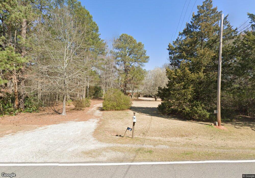
1711 Flat Rock Rd Watkinsville, GA 30677
Estimated Value: $380,662 - $559,000
--
Bed
--
Bath
1,671
Sq Ft
$268/Sq Ft
Est. Value
About This Home
This home is located at 1711 Flat Rock Rd, Watkinsville, GA 30677 and is currently estimated at $447,666, approximately $267 per square foot. 1711 Flat Rock Rd is a home located in Oconee County with nearby schools including Colham Ferry Elementary School, Oconee County Middle School, and Oconee County High School.
Ownership History
Date
Name
Owned For
Owner Type
Purchase Details
Closed on
Nov 15, 2021
Sold by
Mctyre Elaine H
Bought by
Stockton Angela H and Hewell Guy Clinton
Current Estimated Value
Purchase Details
Closed on
Sep 3, 2009
Sold by
Hewell Marjorie H
Bought by
Hewell Marjorie H
Purchase Details
Closed on
Nov 5, 1997
Sold by
Hewell Kenneth D
Bought by
Mctyre Elaine H and Mctyre
Purchase Details
Closed on
Dec 20, 1996
Sold by
Hewell Marjorie H
Bought by
Mctyre Elaine H and Mctyre
Create a Home Valuation Report for This Property
The Home Valuation Report is an in-depth analysis detailing your home's value as well as a comparison with similar homes in the area
Home Values in the Area
Average Home Value in this Area
Purchase History
| Date | Buyer | Sale Price | Title Company |
|---|---|---|---|
| Stockton Angela H | -- | -- | |
| Hewell Marjorie H | -- | -- | |
| Mctyre Elaine H | -- | -- | |
| Mctyre Elaine H | -- | -- |
Source: Public Records
Tax History Compared to Growth
Tax History
| Year | Tax Paid | Tax Assessment Tax Assessment Total Assessment is a certain percentage of the fair market value that is determined by local assessors to be the total taxable value of land and additions on the property. | Land | Improvement |
|---|---|---|---|---|
| 2024 | $2,260 | $122,971 | $44,964 | $78,007 |
| 2023 | $2,260 | $111,645 | $38,105 | $73,540 |
| 2022 | $2,036 | $94,908 | $31,754 | $63,154 |
| 2021 | $1,464 | $63,254 | $28,868 | $34,386 |
| 2020 | $1,396 | $60,219 | $28,301 | $31,918 |
| 2019 | $1,259 | $54,312 | $23,584 | $30,728 |
| 2018 | $1,097 | $46,323 | $20,508 | $25,815 |
| 2017 | $989 | $41,758 | $18,644 | $23,114 |
| 2016 | $911 | $38,461 | $15,770 | $22,691 |
| 2015 | $899 | $37,866 | $15,770 | $22,096 |
| 2014 | $859 | $35,357 | $14,337 | $21,020 |
| 2013 | -- | $33,622 | $13,705 | $19,916 |
Source: Public Records
Map
Nearby Homes
- 1050 Pembrook Ct
- 1010 Bridlegate Dr Unit 25
- 1100 Ryland Hills Dr
- 1200 Ryland Hills Dr
- 1081 Old Mill Dr
- 2812 Astondale Rd
- 0 S Barnett Shoals Rd Unit CL336112
- 0 S Barnett Shoals Rd Unit 10579614
- 3291 Ryland Hills Dr
- 3095 Ryland Hills Dr
- 3191 Ryland Hills Dr
- 1020 Barnett Place
- 1070 Watson Ln Unit F1
- 1194 Watson Ln Unit F6
- 1094 Watson Ln Unit F2
- 1120 Watson Ln Unit F3
- 1144 Watson Ln Unit F4
- 1170 Watson Ln Unit F5
- 1311 Watson Ln Unit E8
- 1195 Watson Ln Unit E5
- 1681 Flat Rock Rd
- 1700 Flat Rock Rd
- 1761 Flat Rock Rd
- 1701 Flat Rock Rd
- 1741 Flat Rock Rd
- 1661 Flat Rock Rd
- 1660 Flat Rock Rd
- 1641 Flat Rock Rd
- 1650 Flat Rock Rd
- 1182 Ashford Rd
- 1130 Ashford Rd
- 1190 Ashford Rd
- 1640 Flat Rock Rd
- 1621 Flat Rock Rd
- 1180 Ashford Rd
- 1973 McRee Gin Rd
- 1080 Ashford Rd
- 1100 Ashford Rd
- 1831 Flat Rock Rd
- 1971 McRee Gin Rd