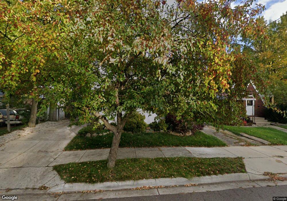
1711 Fletcher St Lansing, MI 48910
Moores Park NeighborhoodEstimated Value: $146,001 - $180,000
--
Bed
--
Bath
1,357
Sq Ft
$117/Sq Ft
Est. Value
About This Home
This home is located at 1711 Fletcher St, Lansing, MI 48910 and is currently estimated at $158,250, approximately $116 per square foot. 1711 Fletcher St is a home located in Ingham County with nearby schools including Averill Elementary School, Pattengill Academy, and J.W. Sexton High School.
Ownership History
Date
Name
Owned For
Owner Type
Purchase Details
Closed on
Feb 26, 2003
Sold by
Nicola Gary L and Golejewski Karen
Bought by
Wilson Brian J
Current Estimated Value
Home Financials for this Owner
Home Financials are based on the most recent Mortgage that was taken out on this home.
Original Mortgage
$74,000
Outstanding Balance
$31,952
Interest Rate
5.94%
Mortgage Type
Purchase Money Mortgage
Estimated Equity
$126,298
Create a Home Valuation Report for This Property
The Home Valuation Report is an in-depth analysis detailing your home's value as well as a comparison with similar homes in the area
Home Values in the Area
Average Home Value in this Area
Purchase History
| Date | Buyer | Sale Price | Title Company |
|---|---|---|---|
| Wilson Brian J | $77,900 | Midstate Title Company |
Source: Public Records
Mortgage History
| Date | Status | Borrower | Loan Amount |
|---|---|---|---|
| Open | Wilson Brian J | $74,000 |
Source: Public Records
Tax History Compared to Growth
Tax History
| Year | Tax Paid | Tax Assessment Tax Assessment Total Assessment is a certain percentage of the fair market value that is determined by local assessors to be the total taxable value of land and additions on the property. | Land | Improvement |
|---|---|---|---|---|
| 2025 | $2,684 | $67,400 | $7,000 | $60,400 |
| 2024 | $21 | $61,600 | $7,000 | $54,600 |
| 2023 | $2,517 | $55,600 | $7,000 | $48,600 |
| 2022 | $2,270 | $52,200 | $7,200 | $45,000 |
| 2021 | $2,223 | $49,000 | $6,900 | $42,100 |
| 2020 | $2,210 | $46,200 | $6,900 | $39,300 |
| 2019 | $2,118 | $43,600 | $6,900 | $36,700 |
| 2018 | $1,985 | $38,100 | $6,900 | $31,200 |
| 2017 | $1,900 | $38,100 | $6,900 | $31,200 |
| 2016 | $1,817 | $34,500 | $6,900 | $27,600 |
| 2015 | $1,817 | $33,100 | $13,709 | $19,391 |
| 2014 | $1,817 | $32,000 | $16,303 | $15,697 |
Source: Public Records
Map
Nearby Homes
- 1010 W Barnes Ave
- 917 W Barnes Ave
- 1116 George St
- 1114 Goodrich St
- 1913 Stirling Ave
- 1120 Alsdorf St
- 2001 S Martin Luther King Junior Blvd
- 1309 Hammond St
- 907 Lenore Ave
- 2011 S Martin Luther King jr Blvd
- 1315 Goodrich St
- 1312 W Mount Hope Ave
- 712 Lenore Ave
- 1836 Osband Ave
- 2112 Stirling Ave
- 1723 Osband Ave
- 1221 Moores River Dr
- 2118 Marion Ave
- 511 W Mount Hope Ave
- 2011 Osband Ave
- 1715 Fletcher St
- 1009 W Barnes Ave
- 1017 W Barnes Ave
- 1710 Stirling Ave
- 1714 Stirling Ave
- 1007 W Barnes Ave
- 1716 Stirling Ave
- 1704 Fletcher St
- 1001 W Barnes Ave
- 1720 Stirling Ave
- 1712 Fletcher St
- 1025 W Barnes Ave
- 1724 Stirling Ave
- 1720 Fletcher St
- 1012 W Barnes Ave
- 1027 W Barnes Ave
- 1018 Smith Ave
- 1004 W Barnes Ave