1711 Sandusky Rd Jacksonville, IL 62650
Estimated Value: $247,274 - $297,000
--
Bed
--
Bath
--
Sq Ft
0.96
Acres
About This Home
This home is located at 1711 Sandusky Rd, Jacksonville, IL 62650 and is currently estimated at $262,819. 1711 Sandusky Rd is a home with nearby schools including Jacksonville High School, Salem Lutheran School, and Salem Lutheran School.
Ownership History
Date
Name
Owned For
Owner Type
Purchase Details
Closed on
May 29, 2025
Sold by
Randy E Plunk Living Trust and Plunk Randy E
Bought by
Baptist Brian K and Baptist Jennifer R
Current Estimated Value
Home Financials for this Owner
Home Financials are based on the most recent Mortgage that was taken out on this home.
Original Mortgage
$35,000
Outstanding Balance
$30,497
Interest Rate
5.85%
Mortgage Type
New Conventional
Estimated Equity
$232,322
Purchase Details
Closed on
Jun 3, 2022
Sold by
Plunk Randy E and Plunk Sara R
Bought by
Randy E Plunk Living Trust and Plank
Purchase Details
Closed on
Jul 6, 2010
Sold by
Cole Alex B and Cole Mary L
Bought by
Plunk Randy E
Purchase Details
Closed on
May 24, 2005
Sold by
The Farmers State Bank And Trust Co
Bought by
The Alex And Mary Cole Family Trust
Purchase Details
Closed on
Apr 4, 2003
Sold by
Taylor Bryan A
Bought by
Hammers Justin
Purchase Details
Closed on
Nov 5, 2001
Create a Home Valuation Report for This Property
The Home Valuation Report is an in-depth analysis detailing your home's value as well as a comparison with similar homes in the area
Home Values in the Area
Average Home Value in this Area
Purchase History
| Date | Buyer | Sale Price | Title Company |
|---|---|---|---|
| Baptist Brian K | $250,000 | None Listed On Document | |
| Randy E Plunk Living Trust | -- | Ferguson Curt W | |
| Plunk Randy E | $15,000 | None Available | |
| The Alex And Mary Cole Family Trust | $7,250 | None Available | |
| Hammers Justin | $7,500 | -- | |
| -- | $8,300 | -- |
Source: Public Records
Mortgage History
| Date | Status | Borrower | Loan Amount |
|---|---|---|---|
| Open | Baptist Brian K | $35,000 |
Source: Public Records
Tax History Compared to Growth
Tax History
| Year | Tax Paid | Tax Assessment Tax Assessment Total Assessment is a certain percentage of the fair market value that is determined by local assessors to be the total taxable value of land and additions on the property. | Land | Improvement |
|---|---|---|---|---|
| 2024 | $4,749 | $77,560 | $7,000 | $70,560 |
| 2023 | $5,024 | $88,190 | $7,000 | $81,190 |
| 2022 | $5,090 | $74,930 | $8,320 | $66,610 |
| 2021 | $4,939 | $74,940 | $8,320 | $66,620 |
| 2020 | $4,705 | $70,000 | $8,320 | $61,680 |
| 2019 | $4,109 | $62,040 | $8,320 | $53,720 |
| 2018 | $3,916 | $60,990 | $8,320 | $52,670 |
| 2017 | $3,872 | $60,990 | $8,320 | $52,670 |
| 2016 | $2,906 | $46,910 | $7,920 | $38,990 |
| 2015 | $2,901 | $45,540 | $7,690 | $37,850 |
| 2014 | $2,901 | $45,540 | $7,690 | $37,850 |
| 2013 | $2,806 | $45,540 | $7,690 | $37,850 |
Source: Public Records
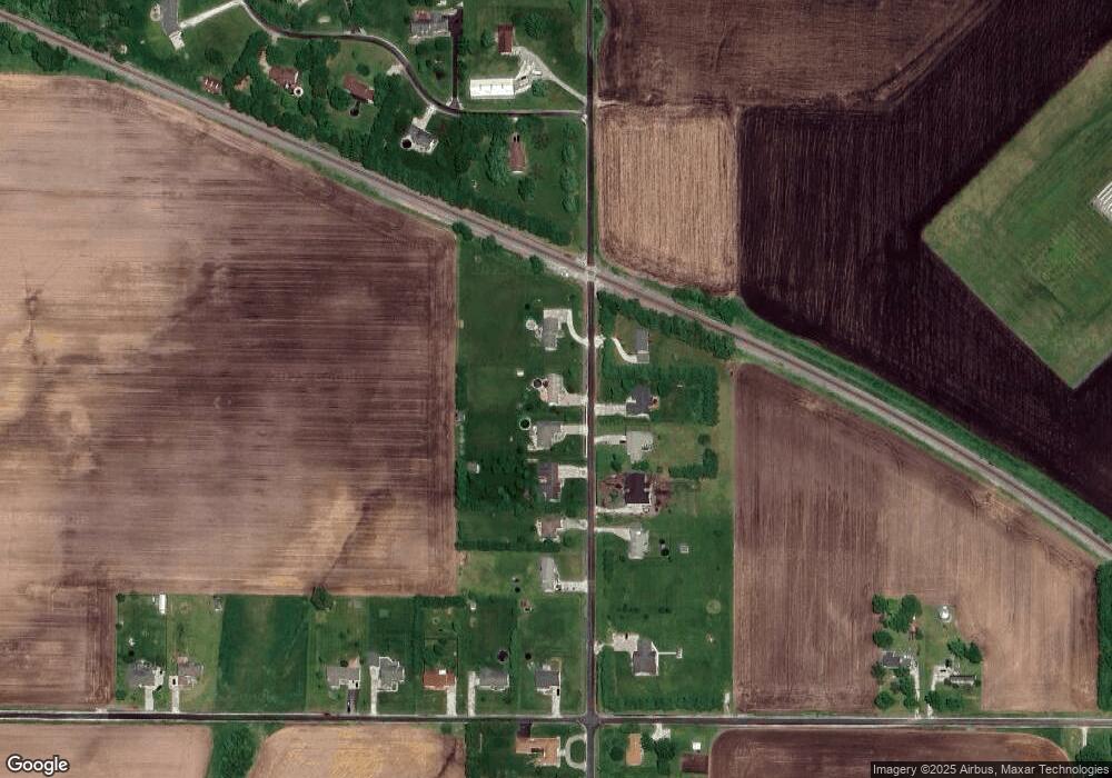
Map
Nearby Homes
- 70 Applebee Farms Dr
- 8 Wadsworth Dr
- 1 Wadsworth Dr
- 840 W Walnut St
- 6 Fernwood Blvd
- 1492 Passavant Dr
- 610 Sandusky St
- 754 Freedman St
- 22 Appomatox Ave
- 108 Nansarah Dr
- 858 N Diamond St
- 411 Caldwell St
- 304 Carobeth Cir
- 813 N Diamond St
- 1001 Cox St
- 1305 W Lafayette Ave
- 715 N Diamond St
- 290 Finley St
- 615 W Lafayette Ave
- 231 N Webster Ave
- 1709 Sandusky Rd
- 1713 Sandusky Rd
- 1707 Sandusky Rd
- 1712 Sandusky Rd
- 1714 Sandusky Rd
- 1710 Sandusky Rd
- 1705 Sandusky Rd
- 1706 Sandusky Rd
- 1703 Sandusky Rd
- 101 Edlen Ln
- 1704 Sandusky Rd W
- 1888 Baldwin Rd
- 1886 Baldwin Rd
- 103 Edlen Ln
- 1882 Baldwin Rd
- 1884 Baldwin Rd
- 1722 Sandusky Rd
- 1880 Baldwin Rd
- 102 Edlen Ln
- 105 Edlen Ln