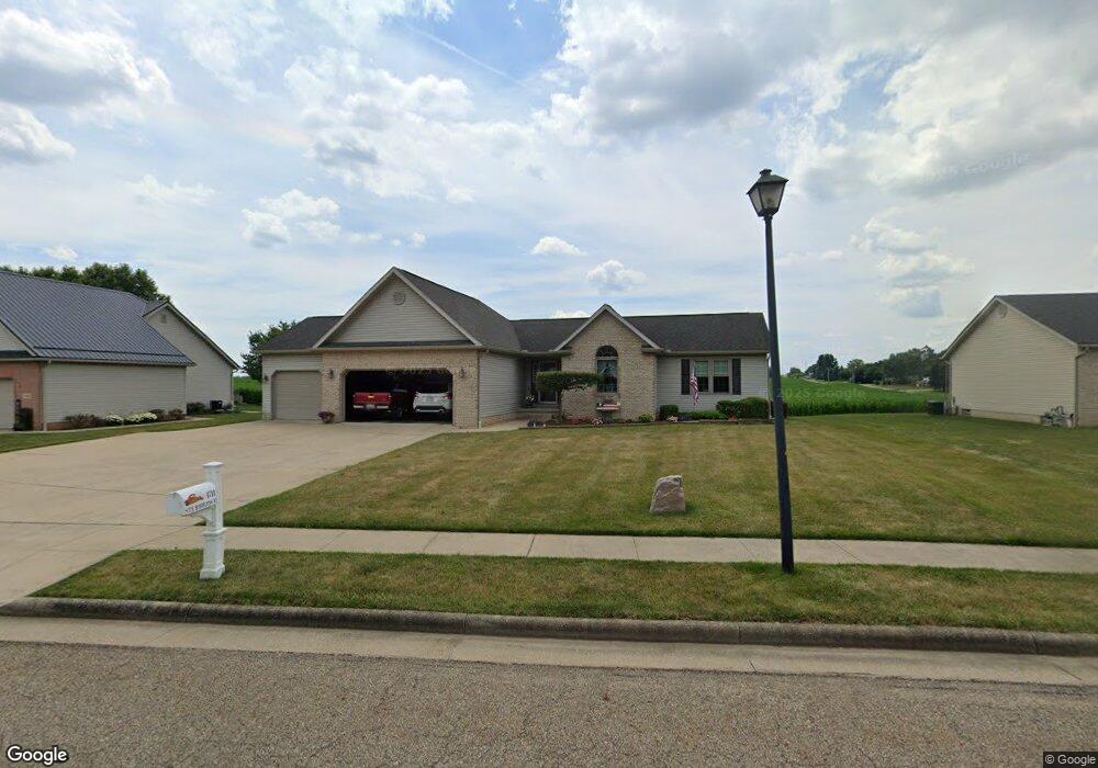
1711 Sturbridge Dr Louisville, OH 44641
Estimated Value: $282,000 - $325,000
3
Beds
2
Baths
1,600
Sq Ft
$188/Sq Ft
Est. Value
About This Home
This home is located at 1711 Sturbridge Dr, Louisville, OH 44641 and is currently estimated at $300,974, approximately $188 per square foot. 1711 Sturbridge Dr is a home located in Stark County with nearby schools including Louisville High School, East Branch Preparatory Academy Wright Preparatory Academy, and St. Thomas Aquinas High School & Middle School.
Ownership History
Date
Name
Owned For
Owner Type
Purchase Details
Closed on
Feb 26, 2005
Sold by
Render Construction Inc
Bought by
Samblanet Thomas J and Samblanet Sally A
Current Estimated Value
Purchase Details
Closed on
May 15, 2003
Sold by
Jencar Developers Inc
Bought by
Render Construction Inc
Create a Home Valuation Report for This Property
The Home Valuation Report is an in-depth analysis detailing your home's value as well as a comparison with similar homes in the area
Home Values in the Area
Average Home Value in this Area
Purchase History
| Date | Buyer | Sale Price | Title Company |
|---|---|---|---|
| Samblanet Thomas J | $35,500 | -- | |
| Render Construction Inc | $35,900 | -- |
Source: Public Records
Tax History Compared to Growth
Tax History
| Year | Tax Paid | Tax Assessment Tax Assessment Total Assessment is a certain percentage of the fair market value that is determined by local assessors to be the total taxable value of land and additions on the property. | Land | Improvement |
|---|---|---|---|---|
| 2025 | -- | $88,420 | $21,670 | $66,750 |
| 2024 | -- | $88,420 | $21,670 | $66,750 |
| 2023 | $2,607 | $69,830 | $15,330 | $54,500 |
| 2022 | $2,631 | $69,830 | $15,330 | $54,500 |
| 2021 | $2,638 | $69,830 | $15,330 | $54,500 |
| 2020 | $2,138 | $62,510 | $13,790 | $48,720 |
| 2019 | $2,147 | $61,950 | $13,790 | $48,160 |
| 2018 | $2,117 | $61,950 | $13,790 | $48,160 |
| 2017 | $1,915 | $55,200 | $13,020 | $42,180 |
| 2016 | $1,955 | $55,200 | $13,020 | $42,180 |
| 2015 | $1,960 | $55,200 | $13,020 | $42,180 |
| 2014 | $1,959 | $51,910 | $12,250 | $39,660 |
| 2013 | $983 | $51,910 | $12,250 | $39,660 |
Source: Public Records
Map
Nearby Homes
- 1175 Sturbridge Dr
- 1149 Sturbridge Dr
- 248 Menegay Rd
- 201 Indiana Ave
- 0 Brookridge Ave
- 6083 Apple St
- 1561 Noel St
- 0 Glenbar St
- 300 Kennedy St
- 3580 Brookridge Ave Lot 15
- 524 Glenbar St
- 414 Honeycrisp Dr NE
- 428 Honeycrisp Dr NE
- 3047 Mcintosh Dr NE
- 432 Honeycrisp Dr NE
- 2962 Mcintosh Dr NE
- 2963 Mcintosh Dr NE
- 430 Honeycrisp Dr NE
- 2957 Mcintosh Dr NE
- 4060 Hambleton Ave NE
- 1703 Sturbridge Dr
- 1723 Sturbridge Dr
- 1724 Sturbridge Dr
- V/L Sturbridge Dr
- 5 Lot Aubrey Cir
- 1712 Sturbridge Dr
- 1625 Sturbridge Dr
- 1805 Sturbridge Dr
- 4 Lot Aubrey Cir
- 4 V/L Aubrey Cir
- V/L Aubrey Cir
- 1112 Aubrey Cir
- 1620 Sturbridge Dr
- 1615 Sturbridge Dr
- 5 Aubrey Cir
- 4 Aubrey Cir
- 1815 Sturbridge Dr
- 1816 Sturbridge Dr
- 1127 Aubrey Cir
- 0 Aubrey Cir