Estimated Value: $217,006 - $401,000
--
Bed
1
Bath
888
Sq Ft
$338/Sq Ft
Est. Value
About This Home
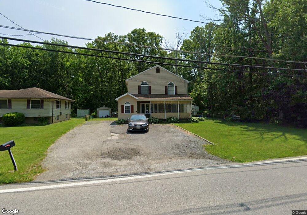
This home is located at 1711 Turkey Point Rd, Essex, MD 21221 and is currently estimated at $299,752, approximately $337 per square foot. 1711 Turkey Point Rd is a home located in Baltimore County with nearby schools including Middleborough Elementary School, Deep Creek Middle, and Chesapeake High School.
Ownership History
Date
Name
Owned For
Owner Type
Purchase Details
Closed on
Jun 10, 2005
Sold by
Petty Edgar J
Bought by
Stuart Michael R
Current Estimated Value
Home Financials for this Owner
Home Financials are based on the most recent Mortgage that was taken out on this home.
Original Mortgage
$112,500
Outstanding Balance
$59,411
Interest Rate
5.94%
Mortgage Type
New Conventional
Estimated Equity
$240,341
Purchase Details
Closed on
Aug 22, 2001
Sold by
Petty Edgar J
Bought by
Petty Edgar J and Petty Leoba M
Create a Home Valuation Report for This Property
The Home Valuation Report is an in-depth analysis detailing your home's value as well as a comparison with similar homes in the area
Home Values in the Area
Average Home Value in this Area
Purchase History
| Date | Buyer | Sale Price | Title Company |
|---|---|---|---|
| Stuart Michael R | $125,000 | -- | |
| Petty Edgar J | -- | -- |
Source: Public Records
Mortgage History
| Date | Status | Borrower | Loan Amount |
|---|---|---|---|
| Open | Stuart Michael R | $112,500 |
Source: Public Records
Tax History Compared to Growth
Tax History
| Year | Tax Paid | Tax Assessment Tax Assessment Total Assessment is a certain percentage of the fair market value that is determined by local assessors to be the total taxable value of land and additions on the property. | Land | Improvement |
|---|---|---|---|---|
| 2025 | $3,078 | $161,500 | -- | -- |
| 2024 | $3,078 | $150,600 | $0 | $0 |
| 2023 | $1,502 | $139,700 | $77,800 | $61,900 |
| 2022 | $3,301 | $137,500 | $0 | $0 |
| 2021 | $2,719 | $135,300 | $0 | $0 |
| 2020 | $2,719 | $133,100 | $77,800 | $55,300 |
| 2019 | $2,703 | $132,400 | $0 | $0 |
| 2018 | $2,624 | $131,700 | $0 | $0 |
| 2017 | $2,454 | $131,000 | $0 | $0 |
| 2016 | $2,113 | $131,000 | $0 | $0 |
| 2015 | $2,113 | $131,000 | $0 | $0 |
| 2014 | $2,113 | $135,600 | $0 | $0 |
Source: Public Records
Map
Nearby Homes
- 1634 Cape May Rd
- 516 Brighton Place
- 502 Brighton Place
- 14 Norman Creek Ct
- 1936 Newhaven Dr
- 1920 Sue Ave
- 811 Cedar Ave
- 830 Cedar Ave
- 2042 Hackberry Rd
- Parcel 943 Browns Rd
- 1937 Cape May Rd
- 3 Lacebark Ct
- 312 Long Cove Ln
- Parcel on Park Dr
- 356 Delano Way
- 319 Sassafras Rd
- 1322 Goodwood Ave
- 2034 William Ave
- 2036 William Ave
- 1534 Hudson View Rd
- 1708 Turkey Point Rd
- 1701 Turkey Point Rd
- 1704 Turkey Point Rd
- 1635 Turkey Point Rd
- 1634 Turkey Point Rd
- 1629 Turkey Point Rd
- 1631 Turkey Point Rd
- 1627 Turkey Point Rd
- 1632 Turkey Point Rd
- 614 Osprey Landing Ct
- 1630 Turkey Point Rd
- 1722 Turkey Point Rd
- 1625 Turkey Point Rd
- 1625 Turkey Point Rd Unit A
- 1625A Turkey Point Rd
- 25 Ryan Frost Way
- 705 Back River Neck Rd
- 707 Back River Neck Rd
- 709 Back River Neck Rd
- 1623 Turkey Point Rd