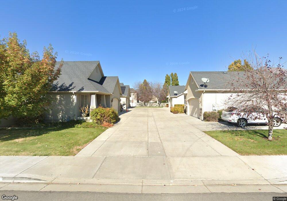
1711 W 1300 S Springville, UT 84663
Westfields South NeighborhoodEstimated Value: $414,000 - $482,000
2
Beds
2
Baths
2,432
Sq Ft
$188/Sq Ft
Est. Value
About This Home
This home is located at 1711 W 1300 S, Springville, UT 84663 and is currently estimated at $457,905, approximately $188 per square foot. 1711 W 1300 S is a home located in Utah County with nearby schools including Meadow Brook Elementary School, Springville Junior High School, and Springville High School.
Ownership History
Date
Name
Owned For
Owner Type
Purchase Details
Closed on
May 30, 2023
Sold by
Wagstaff Robert K
Bought by
Rkw Trust
Current Estimated Value
Purchase Details
Closed on
Jun 17, 2015
Sold by
Wagstaff Robert K and Wagstaff Cynthia S
Bought by
Wagstaff Robert K and Wagstaff Cynthia Sue
Purchase Details
Closed on
Jun 14, 2011
Sold by
Wagstaff Robert K and Wagstaff Cynthia Sue
Bought by
Wagstaff Robert K and Wagstaff Cynthia S
Purchase Details
Closed on
Feb 15, 2005
Sold by
Gateway Art City Residential Lc
Bought by
Wagstaff Robert K and Wagstaff Cynthia Sue
Home Financials for this Owner
Home Financials are based on the most recent Mortgage that was taken out on this home.
Original Mortgage
$125,600
Interest Rate
4.87%
Mortgage Type
Purchase Money Mortgage
Create a Home Valuation Report for This Property
The Home Valuation Report is an in-depth analysis detailing your home's value as well as a comparison with similar homes in the area
Home Values in the Area
Average Home Value in this Area
Purchase History
| Date | Buyer | Sale Price | Title Company |
|---|---|---|---|
| Rkw Trust | -- | Accommodation/Courtesy Recordi | |
| Wagstaff Robert K | -- | None Available | |
| Wagstaff Robert K | -- | None Available | |
| Wagstaff Robert K | -- | None Available | |
| Wagstaff Robert K | -- | Title West Title Company |
Source: Public Records
Mortgage History
| Date | Status | Borrower | Loan Amount |
|---|---|---|---|
| Previous Owner | Wagstaff Robert K | $125,600 |
Source: Public Records
Tax History
| Year | Tax Paid | Tax Assessment Tax Assessment Total Assessment is a certain percentage of the fair market value that is determined by local assessors to be the total taxable value of land and additions on the property. | Land | Improvement |
|---|---|---|---|---|
| 2025 | $2,294 | $246,125 | -- | -- |
| 2024 | $2,228 | $227,645 | $0 | $0 |
| 2023 | $2,228 | $223,190 | $0 | $0 |
| 2022 | $2,244 | $220,770 | $0 | $0 |
| 2021 | $1,914 | $292,800 | $103,700 | $189,100 |
| 2020 | $1,793 | $265,900 | $76,800 | $189,100 |
| 2019 | $1,687 | $254,300 | $73,700 | $180,600 |
| 2018 | $1,600 | $230,100 | $67,600 | $162,500 |
| 2017 | $1,523 | $116,160 | $0 | $0 |
| 2016 | $1,406 | $105,050 | $0 | $0 |
| 2015 | $1,352 | $103,015 | $0 | $0 |
| 2014 | $1,223 | $92,345 | $0 | $0 |
Source: Public Records
Map
Nearby Homes
- 1768 W 1300 S Unit 208
- 1791 W 1200 S Unit 329
- 1219 S 1850 W Unit 221
- 1221 S 1530 W
- 1591 Renaissance Way
- 1343 W 1250 S
- 1397 W Archmore Dr
- 1259 Dunmore Dr
- 1036 S 1200 W
- 804 W 900 S
- 1081 W 1150 S
- 1417 S 1100 W
- 835 S 950 W Unit 124
- 883 W Hobble Creek Ct Unit 91
- 811 S 950 W Unit 127
- 896 Huntington River Dr Unit 102
- 895 Hobble Creek Ct Unit 90
- 1148 S 700 W
- 819 S Greenway Dr W
- 709 S Greenway Dr Unit 14