Estimated Value: $182,000 - $221,000
3
Beds
1
Bath
1,777
Sq Ft
$116/Sq Ft
Est. Value
About This Home
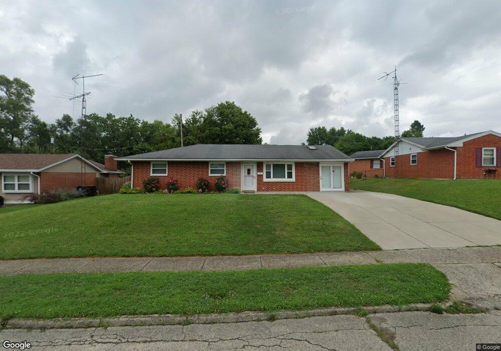
This home is located at 1711 Wigwam Trail, Xenia, OH 45385 and is currently estimated at $206,423, approximately $116 per square foot. 1711 Wigwam Trail is a home located in Greene County with nearby schools including Xenia High School, Summit Academy Community School for Alternative Learners - Xenia, and Legacy Christian Academy.
Ownership History
Date
Name
Owned For
Owner Type
Purchase Details
Closed on
Nov 26, 2008
Sold by
Keybank National Association
Bought by
Williams Richard E and Williams Yvonne M
Current Estimated Value
Home Financials for this Owner
Home Financials are based on the most recent Mortgage that was taken out on this home.
Original Mortgage
$61,275
Outstanding Balance
$40,822
Interest Rate
6.3%
Mortgage Type
Purchase Money Mortgage
Estimated Equity
$165,601
Purchase Details
Closed on
Mar 20, 2008
Sold by
Prether David E and Prether Flora J
Bought by
Keybank Na
Create a Home Valuation Report for This Property
The Home Valuation Report is an in-depth analysis detailing your home's value as well as a comparison with similar homes in the area
Home Values in the Area
Average Home Value in this Area
Purchase History
| Date | Buyer | Sale Price | Title Company |
|---|---|---|---|
| Williams Richard E | $64,500 | Midwest Title Company | |
| Keybank Na | $81,000 | None Available |
Source: Public Records
Mortgage History
| Date | Status | Borrower | Loan Amount |
|---|---|---|---|
| Open | Williams Richard E | $61,275 |
Source: Public Records
Tax History Compared to Growth
Tax History
| Year | Tax Paid | Tax Assessment Tax Assessment Total Assessment is a certain percentage of the fair market value that is determined by local assessors to be the total taxable value of land and additions on the property. | Land | Improvement |
|---|---|---|---|---|
| 2024 | $2,501 | $58,450 | $12,170 | $46,280 |
| 2023 | $2,501 | $61,810 | $12,170 | $49,640 |
| 2022 | $2,215 | $44,150 | $7,160 | $36,990 |
| 2021 | $2,245 | $44,150 | $7,160 | $36,990 |
| 2020 | $2,151 | $44,150 | $7,160 | $36,990 |
| 2019 | $1,752 | $33,850 | $6,910 | $26,940 |
| 2018 | $1,758 | $33,850 | $6,910 | $26,940 |
| 2017 | $1,708 | $33,850 | $6,910 | $26,940 |
| 2016 | $1,570 | $29,660 | $6,910 | $22,750 |
| 2015 | $1,574 | $29,660 | $6,910 | $22,750 |
| 2014 | $1,508 | $29,660 | $6,910 | $22,750 |
Source: Public Records
Map
Nearby Homes
- 1272 Bellbrook Ave
- 1208 Bellbrook Ave
- 1778 Arapaho Dr
- 1618 Navajo Dr
- 1144 Rockwell Dr
- 1653 Seneca Dr
- 1866 Roxbury Dr
- 1769 Gayhart Dr
- 1829 Gayhart Dr
- 1568 Cheyenne Dr
- 1908 Whitt St
- 1342 Kylemore Dr
- 1255 Colorado Dr
- 1107 Arkansas Dr
- 2758 Wyoming Dr
- 523 Newport Rd
- 1233 June Dr
- 1223 June Dr
- 1283 June Dr
- 1391 June Dr
- 1699 Wigwam Trail
- 1725 Wigwam Trail
- 1739 Wigwam Trail
- 1683 Wigwam Trail
- 1056 Moccasin Trail
- 1708 Wigwam Trail
- 1044 Moccasin Trail
- 1724 Wigwam Trail
- 1694 Wigwam Trail
- 1582 Pueblo Dr
- 1066 Moccasin Trail
- 1566 Pueblo Dr
- 1612 Pueblo Dr
- 1680 Wigwam Trail
- 1124 Buckskin Trail
- 1136 Buckskin Trail
- 1655 Wigwam Trail
- 1554 Pueblo Dr
- 1668 Wigwam Trail
- 1624 Pueblo Dr