17113 State Route 92 Granite Falls, WA 98252
Estimated Value: $550,000 - $623,000
3
Beds
1
Bath
1,248
Sq Ft
$463/Sq Ft
Est. Value
About This Home
This home is located at 17113 State Route 92, Granite Falls, WA 98252 and is currently estimated at $577,842, approximately $463 per square foot. 17113 State Route 92 is a home located in Snohomish County with nearby schools including Mountain Way Elementary School, Granite Falls Middle School, and Granite Falls High School.
Ownership History
Date
Name
Owned For
Owner Type
Purchase Details
Closed on
Jan 11, 2002
Sold by
Hunt Cleve C and Hunt Vivian L
Bought by
Clark Robert S and Clark Cassy J
Current Estimated Value
Home Financials for this Owner
Home Financials are based on the most recent Mortgage that was taken out on this home.
Original Mortgage
$167,373
Outstanding Balance
$68,737
Interest Rate
7.11%
Mortgage Type
FHA
Estimated Equity
$509,105
Create a Home Valuation Report for This Property
The Home Valuation Report is an in-depth analysis detailing your home's value as well as a comparison with similar homes in the area
Home Values in the Area
Average Home Value in this Area
Purchase History
| Date | Buyer | Sale Price | Title Company |
|---|---|---|---|
| Clark Robert S | $170,000 | First American |
Source: Public Records
Mortgage History
| Date | Status | Borrower | Loan Amount |
|---|---|---|---|
| Open | Clark Robert S | $167,373 |
Source: Public Records
Tax History Compared to Growth
Tax History
| Year | Tax Paid | Tax Assessment Tax Assessment Total Assessment is a certain percentage of the fair market value that is determined by local assessors to be the total taxable value of land and additions on the property. | Land | Improvement |
|---|---|---|---|---|
| 2025 | $4,287 | $512,400 | $281,300 | $231,100 |
| 2024 | $4,287 | $481,000 | $255,100 | $225,900 |
| 2023 | $4,269 | $515,400 | $279,400 | $236,000 |
| 2022 | $4,139 | $406,900 | $213,400 | $193,500 |
| 2020 | $4,074 | $339,000 | $168,800 | $170,200 |
| 2019 | $3,575 | $315,100 | $153,300 | $161,800 |
| 2018 | $3,739 | $283,500 | $129,000 | $154,500 |
| 2017 | $3,239 | $247,800 | $98,900 | $148,900 |
| 2016 | $3,125 | $227,200 | $82,500 | $144,700 |
| 2015 | $3,054 | $205,600 | $79,700 | $125,900 |
| 2013 | $2,922 | $175,400 | $67,000 | $108,400 |
Source: Public Records
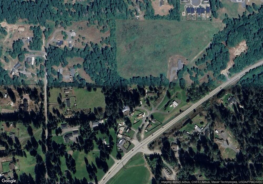
Map
Nearby Homes
- 10327 174th Ave NE
- 10222 174th Ave NE
- 419 Penny Ave
- 17704 Maple St
- 9128 184th Ave NE
- 9402 Ray Gray Rd Unit A
- 9008 184th Ave NE
- 10401 Suncrest Blvd
- 177 XXX Crooked Mile Rd
- 17712 Mill Valley Rd
- 17916 Maple St
- 8824 184th Ave NE
- 17803 Mill Valley Rd
- 8304 160th Dr NE
- 901 W Stanley St
- 17906 80th St NE
- 114 Tompkins Place
- 222 Raybird Ave
- 201 W Stanley St
- 307 Portage Ave
- 17111 State Route 92
- 17119 State Route 92
- 17119 State Route 92
- 17110 State Route 92
- 17129 State Route 92
- 17105 State Route 92
- 17129 Washington 92
- 17231 State Route 92
- 18922 State Route 92
- 17103 State Route 92
- 17123 State Route 92
- 17210 Washington 92
- 9429 169th Ave NE
- 9315 169th Ave NE
- 17223 Crooked Mile Rd
- 17031 State Route 92
- 9608 172nd Ave NE
- 9511 169th Ave NE
- 9621 172nd Ave NE
- 9514 Hawkins Ave