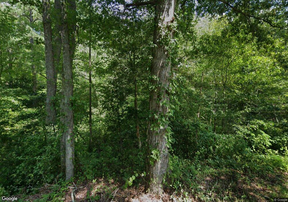
1712 Custis Millpond Rd West Point, VA 23181
Estimated Value: $572,000 - $816,229
4
Beds
2
Baths
3,367
Sq Ft
$208/Sq Ft
Est. Value
About This Home
This home is located at 1712 Custis Millpond Rd, West Point, VA 23181 and is currently estimated at $701,743, approximately $208 per square foot. 1712 Custis Millpond Rd is a home located in King William County with nearby schools including Cool Spring Primary School, Acquinton Elementary School, and Hamilton Holmes Middle School.
Ownership History
Date
Name
Owned For
Owner Type
Purchase Details
Closed on
Jul 21, 2014
Sold by
Mcgowman James L
Bought by
Mcgowan James L and Mcgowan Joyce M
Current Estimated Value
Home Financials for this Owner
Home Financials are based on the most recent Mortgage that was taken out on this home.
Original Mortgage
$340,000
Outstanding Balance
$258,784
Interest Rate
4.14%
Mortgage Type
Land Contract Argmt. Of Sale
Estimated Equity
$442,959
Create a Home Valuation Report for This Property
The Home Valuation Report is an in-depth analysis detailing your home's value as well as a comparison with similar homes in the area
Home Values in the Area
Average Home Value in this Area
Purchase History
| Date | Buyer | Sale Price | Title Company |
|---|---|---|---|
| Mcgowan James L | -- | -- |
Source: Public Records
Mortgage History
| Date | Status | Borrower | Loan Amount |
|---|---|---|---|
| Open | Mcgowan James L | $340,000 |
Source: Public Records
Tax History Compared to Growth
Tax History
| Year | Tax Paid | Tax Assessment Tax Assessment Total Assessment is a certain percentage of the fair market value that is determined by local assessors to be the total taxable value of land and additions on the property. | Land | Improvement |
|---|---|---|---|---|
| 2025 | $4,094 | $714,500 | $141,000 | $573,500 |
| 2024 | $4,144 | $714,500 | $141,000 | $573,500 |
| 2023 | $1,744 | $714,500 | $141,000 | $573,500 |
| 2021 | $2,819 | $385,900 | $137,700 | $248,200 |
| 2020 | $3,319 | $407,500 | $88,900 | $318,600 |
| 2019 | $3,319 | $385,900 | $137,700 | $248,200 |
| 2018 | $3,385 | $384,700 | $137,700 | $247,000 |
| 2017 | $3,462 | $384,700 | $137,700 | $247,000 |
| 2016 | $3,530 | $384,700 | $137,700 | $247,000 |
| 2015 | $1,294 | $137,700 | $137,700 | $0 |
| 2014 | $1,070 | $0 | $0 | $0 |
Source: Public Records
Map
Nearby Homes
- 1976 Custis Millpond Rd
- 00 Custis Millpond Rd
- 30 Custis Millpond Rd
- 0 Custis Millpond Rd Unit 24481309
- 5.1+AC Plantation Place
- 0 King William Ave Unit 2411669
- 00 King William Ave
- 0 King William Ave Unit 2401375
- 000 King William Ave
- 893 Pear Tree Ave
- TBD Sweet Hall Rd
- LOT 25 Plantation Place
- TBD Grass Creek Trail
- 20787 The Trail
- 1765 Clifton Ln
- 00 Clifton Ln
- 5655 Custis Millpond Rd
- 310 Old Fraziers Trail
- 0 Tanager Ct
- Lot 6 Tanager Ct
- 1668 Custis Millpond Rd
- 1806 Custis Millpond Rd
- 1499 Custis Millpond Rd
- 1924 Custis Millpond Rd
- 1984 Custis Millpond Rd
- 2074 Custis Millpond Rd
- 709 Kentucky Rd
- 2258 Custis Millpond Rd
- 2306 Custis Millpond Rd
- 2372 Custis Millpond Rd
- 2428 Custis Millpond Rd
- 5255 Wakema Rd
- 0 Rt.634 Kentucky Rd
- 634 Kentucky Rd
- 5149 Wakema Rd
- 721 Custis Millpond Rd
- 794 Custis Millpond Rd
- 1173 Seatons Ln
- 161 Kentucky Rd
- 4985 Wakema Rd
