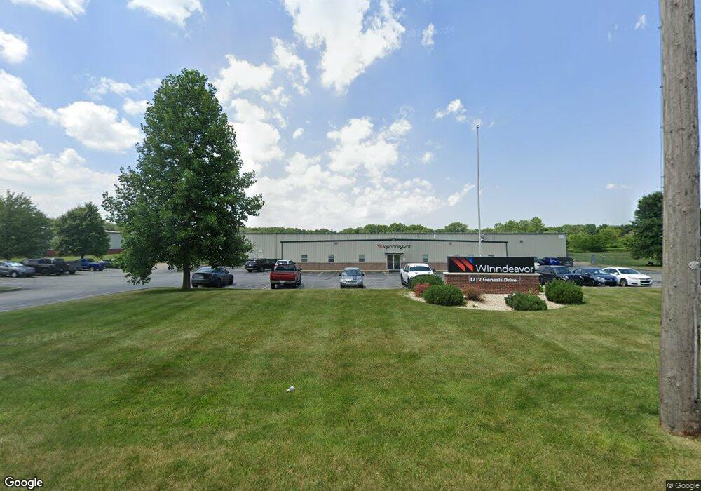
1712 Genesis Dr La Porte, IN 46350
--
Bed
--
Bath
30,220
Sq Ft
6
Acres
About This Home
This home is located at 1712 Genesis Dr, La Porte, IN 46350. 1712 Genesis Dr is a home located in LaPorte County with nearby schools including Carver Elementary School, Hailmann Elementary School, and La Porte High School.
Ownership History
Date
Name
Owned For
Owner Type
Purchase Details
Closed on
Mar 31, 2022
Sold by
Corey Genesis Llc
Bought by
1712 Genesis Drive Llc
Home Financials for this Owner
Home Financials are based on the most recent Mortgage that was taken out on this home.
Original Mortgage
$1,000,000
Outstanding Balance
$519,337
Interest Rate
3.83%
Mortgage Type
New Conventional
Purchase Details
Closed on
Feb 6, 2020
Sold by
B & B Manufacturing Llc
Bought by
Corey Genesis Llc
Home Financials for this Owner
Home Financials are based on the most recent Mortgage that was taken out on this home.
Original Mortgage
$1,440,000
Interest Rate
3.72%
Mortgage Type
Commercial
Create a Home Valuation Report for This Property
The Home Valuation Report is an in-depth analysis detailing your home's value as well as a comparison with similar homes in the area
Home Values in the Area
Average Home Value in this Area
Purchase History
| Date | Buyer | Sale Price | Title Company |
|---|---|---|---|
| 1712 Genesis Drive Llc | -- | Drake Andrew R | |
| Corey Genesis Llc | $900,000 | Metropolitan Title Of Indiana |
Source: Public Records
Mortgage History
| Date | Status | Borrower | Loan Amount |
|---|---|---|---|
| Open | 1712 Genesis Drive Llc | $1,000,000 | |
| Previous Owner | Corey Genesis Llc | $1,440,000 |
Source: Public Records
Tax History Compared to Growth
Tax History
| Year | Tax Paid | Tax Assessment Tax Assessment Total Assessment is a certain percentage of the fair market value that is determined by local assessors to be the total taxable value of land and additions on the property. | Land | Improvement |
|---|---|---|---|---|
| 2024 | $20,925 | $627,700 | $100,200 | $527,500 |
| 2022 | $21,096 | $703,200 | $100,200 | $603,000 |
| 2021 | $19,314 | $643,800 | $100,200 | $543,600 |
| 2020 | $20,691 | $643,800 | $100,200 | $543,600 |
| 2019 | $20,691 | $689,700 | $100,200 | $589,500 |
| 2018 | $20,691 | $689,700 | $100,200 | $589,500 |
| 2017 | $21,852 | $728,400 | $100,200 | $628,200 |
| 2016 | $33,360 | $1,112,000 | $100,200 | $1,011,800 |
| 2014 | $20,937 | $697,900 | $100,200 | $597,700 |
Source: Public Records
Map
Nearby Homes
- 1944 Park St
- 1960 Park St
- 1964 Park St
- 1962 Park St
- 865 W 200 N
- 0 W 250 N
- 222 Roosevelt St
- 125 W Mcclung Rd
- 6864 N Nature Ln
- 6862 N Nature Ln
- 506 Pulaski St
- 717 E Lincolnway
- 161 W Mcclung Rd
- 169 W Mcclung Rd Unit 201
- 169 W Mcclung Rd Unit 203
- 503 Grove St
- 0 Brighton St Unit NRA542345
- 205 Lawrence St
- 302 Bond St
- 414 Allen St