1712 Karen Ave Lima, OH 45801
Northside Lima NeighborhoodEstimated Value: $119,000 - $136,000
3
Beds
1
Bath
1,008
Sq Ft
$127/Sq Ft
Est. Value
About This Home
This home is located at 1712 Karen Ave, Lima, OH 45801 and is currently estimated at $127,543, approximately $126 per square foot. 1712 Karen Ave is a home located in Allen County with nearby schools including Elida Elementary School, Elida Middle School, and Elida High School.
Ownership History
Date
Name
Owned For
Owner Type
Purchase Details
Closed on
Oct 8, 1996
Sold by
Storlie David
Bought by
Brunk Keith and Brunk Debra
Current Estimated Value
Home Financials for this Owner
Home Financials are based on the most recent Mortgage that was taken out on this home.
Original Mortgage
$41,155
Outstanding Balance
$3,749
Interest Rate
8%
Mortgage Type
FHA
Estimated Equity
$123,795
Purchase Details
Closed on
Sep 15, 1992
Bought by
Storlie David A
Create a Home Valuation Report for This Property
The Home Valuation Report is an in-depth analysis detailing your home's value as well as a comparison with similar homes in the area
Home Values in the Area
Average Home Value in this Area
Purchase History
We collect this data history from publicly available records. To have your information removed, we recommend requesting removal directly through your county’s website.
| Date | Buyer | Sale Price | Title Company |
|---|---|---|---|
| Brunk Keith | $41,500 | -- | |
| Storlie David A | -- | -- |
Source: Public Records
Mortgage History
We collect this data history from publicly available records. To have your information removed, we recommend requesting removal directly through your county’s website.
| Date | Status | Borrower | Loan Amount |
|---|---|---|---|
| Open | Brunk Keith | $41,155 |
Source: Public Records
Tax History
| Year | Tax Paid | Tax Assessment Tax Assessment Total Assessment is a certain percentage of the fair market value that is determined by local assessors to be the total taxable value of land and additions on the property. | Land | Improvement |
|---|---|---|---|---|
| 2024 | $1,376 | $33,780 | $5,810 | $27,970 |
| 2023 | $1,125 | $24,650 | $4,240 | $20,410 |
| 2022 | $1,141 | $24,650 | $4,240 | $20,410 |
| 2021 | $1,147 | $24,650 | $4,240 | $20,410 |
| 2020 | $950 | $19,010 | $4,060 | $14,950 |
| 2019 | $950 | $19,010 | $4,060 | $14,950 |
| 2018 | $900 | $19,010 | $4,060 | $14,950 |
| 2017 | $833 | $17,290 | $4,060 | $13,230 |
| 2016 | $831 | $17,290 | $4,060 | $13,230 |
| 2015 | $832 | $17,290 | $4,060 | $13,230 |
| 2014 | $832 | $16,770 | $3,890 | $12,880 |
| 2013 | $808 | $16,770 | $3,890 | $12,880 |
Source: Public Records
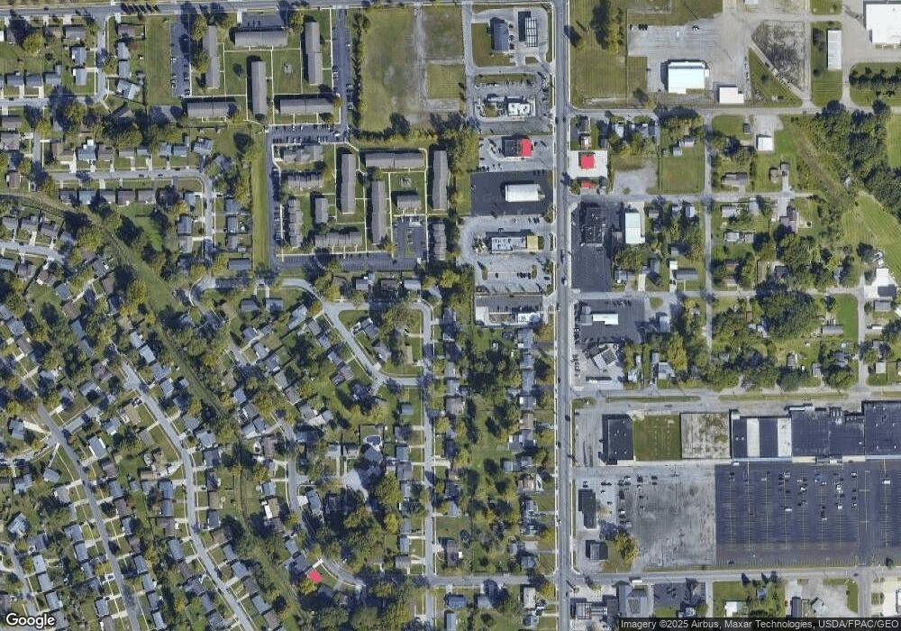
Map
Nearby Homes
- 1705 Karen St
- 429 Lewis Blvd
- 1609 Karen St
- 417 W Northern Ave
- 1907 N Elizabeth St
- 207 W Lane Ave
- 2104 Virginia Ave
- 613 Meadowbrook Dr
- 215 W Michigan Ave
- 524 Sandpiper St
- 1809 N Metcalf St
- 716 Ruth Ave
- 1200 N Main St
- 1416 N Central Ave
- 2355 Burden Dr
- 475 Kenmore St
- 408 Runyan Ave
- 2371 Mandolin Dr
- 520 Kenmore St
- 136 E O'Connor Ave
Your Personal Tour Guide
Ask me questions while you tour the home.