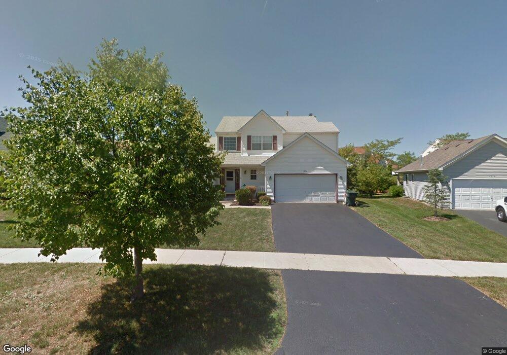
1712 Midday Dr Zion, IL 60099
West Zion NeighborhoodEstimated Value: $340,000 - $378,000
2
Beds
3
Baths
2,090
Sq Ft
$170/Sq Ft
Est. Value
About This Home
This home is located at 1712 Midday Dr, Zion, IL 60099 and is currently estimated at $355,254, approximately $169 per square foot. 1712 Midday Dr is a home located in Lake County with nearby schools including Kenneth Murphy School, Beach Park Middle School, and Zion-Benton Township High School.
Ownership History
Date
Name
Owned For
Owner Type
Purchase Details
Closed on
Nov 30, 1994
Sold by
J Maki Construction Company
Bought by
Rolls Dwain P and Rolls Annette
Current Estimated Value
Home Financials for this Owner
Home Financials are based on the most recent Mortgage that was taken out on this home.
Original Mortgage
$156,400
Interest Rate
8.91%
Purchase Details
Closed on
Aug 12, 1994
Sold by
Bank Of Waukegan
Bought by
J Maki Construction Co
Home Financials for this Owner
Home Financials are based on the most recent Mortgage that was taken out on this home.
Original Mortgage
$100,000
Interest Rate
8.65%
Create a Home Valuation Report for This Property
The Home Valuation Report is an in-depth analysis detailing your home's value as well as a comparison with similar homes in the area
Home Values in the Area
Average Home Value in this Area
Purchase History
| Date | Buyer | Sale Price | Title Company |
|---|---|---|---|
| Rolls Dwain P | $165,000 | -- | |
| J Maki Construction Co | $30,000 | -- |
Source: Public Records
Mortgage History
| Date | Status | Borrower | Loan Amount |
|---|---|---|---|
| Closed | Rolls Dwain P | $156,400 | |
| Previous Owner | J Maki Construction Co | $100,000 |
Source: Public Records
Tax History Compared to Growth
Tax History
| Year | Tax Paid | Tax Assessment Tax Assessment Total Assessment is a certain percentage of the fair market value that is determined by local assessors to be the total taxable value of land and additions on the property. | Land | Improvement |
|---|---|---|---|---|
| 2024 | $9,381 | $97,724 | $15,017 | $82,707 |
| 2023 | $9,407 | $81,429 | $12,513 | $68,916 |
| 2022 | $9,407 | $78,099 | $10,290 | $67,809 |
| 2021 | $9,274 | $73,264 | $9,653 | $63,611 |
| 2020 | $8,945 | $68,909 | $9,079 | $59,830 |
| 2019 | $8,701 | $64,191 | $8,457 | $55,734 |
| 2018 | $7,607 | $55,876 | $7,632 | $48,244 |
| 2017 | $7,458 | $51,833 | $7,080 | $44,753 |
| 2016 | $7,291 | $51,075 | $6,427 | $44,648 |
| 2015 | $7,282 | $46,344 | $5,832 | $40,512 |
| 2014 | $6,536 | $43,178 | $5,428 | $37,750 |
| 2012 | $6,441 | $45,983 | $5,781 | $40,202 |
Source: Public Records
Map
Nearby Homes
- 4533 Illinois 173
- 4539 Illinois 173
- 41320 N Green Bay Rd
- 2010 Sunset Ct
- 1524 Anderson Trail
- 42334 N Heritage Lot 7 Trail
- 4013 Ridge Rd
- 1302 Lorelei Dr
- 12434 W Van Ct
- 4109 Sarah Dr
- 3717 Willow Crest Dr
- 1210 Lorelei Dr
- 2407 Phillip Dr
- 2414 Phillip Dr
- 2407 Miriam Ave
- 2413 Michael Ave
- 1304 Pelican Ct
- 908 Countrywood Dr
- 1531 Southport Ct
- 1521 Southport Ct