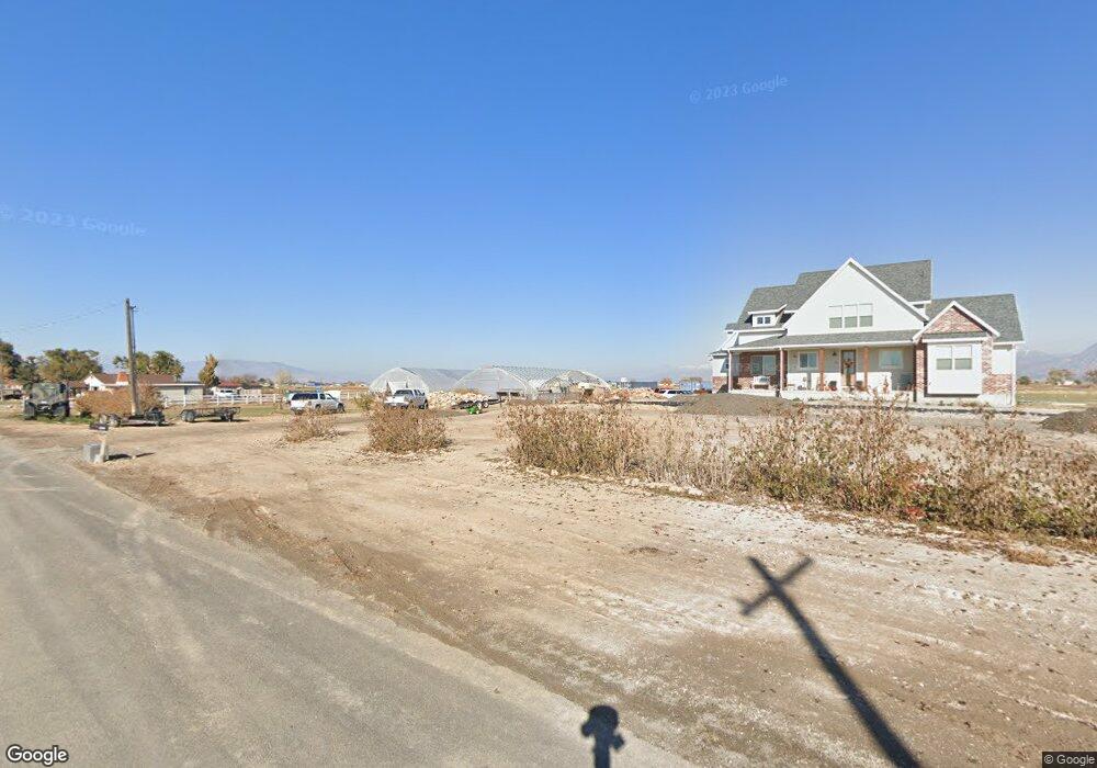
1712 Palmyra Dr Spanish Fork, UT 84660
Estimated Value: $944,000 - $2,141,000
3
Beds
3
Baths
4,046
Sq Ft
$388/Sq Ft
Est. Value
About This Home
This home is located at 1712 Palmyra Dr, Spanish Fork, UT 84660 and is currently estimated at $1,571,221, approximately $388 per square foot. 1712 Palmyra Dr is a home located in Utah County with nearby schools including Brockbank Elementary School, Spanish Fork Jr High School, and Spanish Fork High School.
Ownership History
Date
Name
Owned For
Owner Type
Purchase Details
Closed on
Jun 29, 2020
Sold by
Smith Brian A
Bought by
Carter Amanas and Carter Burke
Current Estimated Value
Purchase Details
Closed on
Apr 17, 2012
Sold by
Thomas Edward Blair and Thomas Genevieve Ritz
Bought by
Smith Brian A
Create a Home Valuation Report for This Property
The Home Valuation Report is an in-depth analysis detailing your home's value as well as a comparison with similar homes in the area
Home Values in the Area
Average Home Value in this Area
Purchase History
| Date | Buyer | Sale Price | Title Company |
|---|---|---|---|
| Carter Amanas | -- | Backman Ntp | |
| Smith Brian A | -- | None Available |
Source: Public Records
Tax History Compared to Growth
Tax History
| Year | Tax Paid | Tax Assessment Tax Assessment Total Assessment is a certain percentage of the fair market value that is determined by local assessors to be the total taxable value of land and additions on the property. | Land | Improvement |
|---|---|---|---|---|
| 2025 | $4,120 | $506,438 | $497,600 | $803,500 |
| 2024 | $4,120 | $411,785 | $0 | $0 |
| 2023 | $7,278 | $728,136 | $0 | $0 |
| 2022 | $4,362 | $1,167,800 | $505,300 | $662,500 |
| 2021 | $30 | $352,800 | $352,800 | $0 |
| 2020 | $32 | $302,500 | $302,500 | $0 |
| 2019 | $31 | $246,700 | $246,700 | $0 |
| 2018 | $36 | $226,700 | $226,700 | $0 |
| 2017 | $39 | $3,032 | $0 | $0 |
| 2016 | $39 | $2,971 | $0 | $0 |
| 2015 | $39 | $2,952 | $0 | $0 |
| 2014 | $41 | $3,056 | $0 | $0 |
Source: Public Records
Map
Nearby Homes
- 5200 S River Dr Unit 3
- 5272 S River Ln
- 2182 W 4600 S
- 5500 W 5600 S
- 6550 S 1050 W
- 559 N Mitchell Dr
- 5310 S 3200 W
- 833 W 250 N
- 226 N 860 W Unit 156
- 956 W 40 N
- 5884 S 3200 W
- 1040 W Center St
- 1841 N 630 St W Unit 71
- 1299 W 250 S
- 1788 N 630 St W Unit 47
- 1826 N 630 St W Unit 101
- 393 N 400 W
- 13 N 710 W
- 333 S 1170 W
- 1377 W 450 S