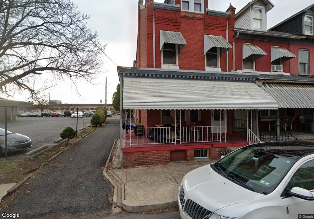
1712 Pear St Reading, PA 19601
Northwest Reading NeighborhoodEstimated Value: $161,348 - $207,000
3
Beds
2
Baths
1,782
Sq Ft
$100/Sq Ft
Est. Value
About This Home
This home is located at 1712 Pear St, Reading, PA 19601 and is currently estimated at $179,087, approximately $100 per square foot. 1712 Pear St is a home located in Berks County with nearby schools including Riverside Elementary School, Northwest Middle School, and Reading Senior High School.
Ownership History
Date
Name
Owned For
Owner Type
Purchase Details
Closed on
Jul 15, 2015
Sold by
Haines Thomas C
Bought by
Cabrera Ramon S and Dejesus Ursula M
Current Estimated Value
Purchase Details
Closed on
Jun 3, 2009
Sold by
Haines Faye S
Bought by
Haines Thomas C
Purchase Details
Closed on
Sep 9, 2003
Sold by
Haines Thomas C
Bought by
Haines Faye S
Purchase Details
Closed on
Oct 16, 2001
Sold by
Haines Christopher D and Haines John S
Bought by
Haines Thomas C
Create a Home Valuation Report for This Property
The Home Valuation Report is an in-depth analysis detailing your home's value as well as a comparison with similar homes in the area
Home Values in the Area
Average Home Value in this Area
Purchase History
| Date | Buyer | Sale Price | Title Company |
|---|---|---|---|
| Cabrera Ramon S | $21,000 | None Available | |
| Haines Thomas C | -- | None Available | |
| Haines Faye S | -- | -- | |
| Haines Thomas C | $37,000 | -- |
Source: Public Records
Tax History
| Year | Tax Paid | Tax Assessment Tax Assessment Total Assessment is a certain percentage of the fair market value that is determined by local assessors to be the total taxable value of land and additions on the property. | Land | Improvement |
|---|---|---|---|---|
| 2025 | $1,056 | $38,900 | $13,000 | $25,900 |
| 2024 | $1,727 | $38,900 | $13,000 | $25,900 |
| 2023 | $1,701 | $38,900 | $13,000 | $25,900 |
| 2022 | $1,701 | $38,900 | $13,000 | $25,900 |
| 2021 | $1,701 | $38,900 | $13,000 | $25,900 |
| 2020 | $1,683 | $38,900 | $13,000 | $25,900 |
| 2019 | $1,683 | $38,900 | $13,000 | $25,900 |
| 2018 | $1,683 | $38,900 | $13,000 | $25,900 |
| 2017 | $1,672 | $38,900 | $13,000 | $25,900 |
| 2016 | $955 | $38,900 | $13,000 | $25,900 |
| 2015 | $955 | $38,900 | $13,000 | $25,900 |
| 2014 | $879 | $38,900 | $13,000 | $25,900 |
Source: Public Records
Map
Nearby Homes
- 1262 Church St
- 1102 N Front St
- 122 Robeson St
- 1037 Madison Ave
- 612 Crescent Ave
- 701 Alton Ave
- 617 Crescent Ave
- 119 Windsor St
- 1540 N 9th St
- 138 W Windsor St
- 915 Madison Ave
- 2024 Kutztown Rd
- 433 Windsor St
- 910 Pike St
- 820 N 2nd St
- 911 N 5th St
- 1624 N 10th St
- 815 Weiser St
- 1500 Schuylkill Ave
- 2369 Downing St
Your Personal Tour Guide
Ask me questions while you tour the home.