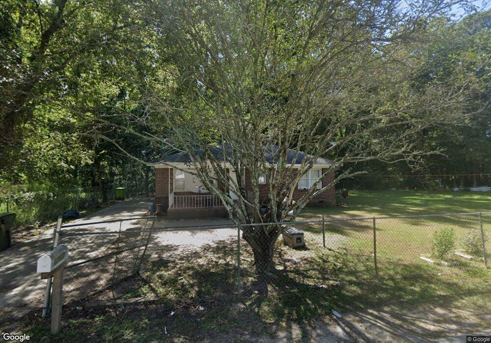
1712 Smith St Columbia, SC 29209
Southeast Columbia NeighborhoodEstimated Value: $95,000 - $132,000
3
Beds
1
Bath
910
Sq Ft
$121/Sq Ft
Est. Value
About This Home
This home is located at 1712 Smith St, Columbia, SC 29209 and is currently estimated at $109,774, approximately $120 per square foot. 1712 Smith St is a home located in Richland County with nearby schools including Meadowfield Elementary School, Hand Middle School, and Dreher High School.
Ownership History
Date
Name
Owned For
Owner Type
Purchase Details
Closed on
Oct 14, 2022
Sold by
Mosteller E Randy
Bought by
Jimenez Maria Jose Castill
Current Estimated Value
Home Financials for this Owner
Home Financials are based on the most recent Mortgage that was taken out on this home.
Original Mortgage
$30,000
Interest Rate
5.66%
Mortgage Type
Construction
Purchase Details
Closed on
Mar 11, 2013
Sold by
Porter Andrew D
Bought by
Mosteller E Randy
Purchase Details
Closed on
Mar 20, 2006
Sold by
Simons Michael A
Bought by
Porter Andrew D
Home Financials for this Owner
Home Financials are based on the most recent Mortgage that was taken out on this home.
Original Mortgage
$45,000
Interest Rate
8.5%
Mortgage Type
Purchase Money Mortgage
Create a Home Valuation Report for This Property
The Home Valuation Report is an in-depth analysis detailing your home's value as well as a comparison with similar homes in the area
Home Values in the Area
Average Home Value in this Area
Purchase History
| Date | Buyer | Sale Price | Title Company |
|---|---|---|---|
| Jimenez Maria Jose Castill | $80,000 | -- | |
| Mosteller E Randy | $10,000 | None Available | |
| Porter Andrew D | $13,500 | None Available |
Source: Public Records
Mortgage History
| Date | Status | Borrower | Loan Amount |
|---|---|---|---|
| Closed | Jimenez Maria Jose Castill | $30,000 | |
| Previous Owner | Porter Andrew D | $45,000 |
Source: Public Records
Tax History Compared to Growth
Tax History
| Year | Tax Paid | Tax Assessment Tax Assessment Total Assessment is a certain percentage of the fair market value that is determined by local assessors to be the total taxable value of land and additions on the property. | Land | Improvement |
|---|---|---|---|---|
| 2024 | $2,248 | $73,500 | $5,300 | $68,200 |
| 2023 | $2,248 | $1,044 | $0 | $0 |
| 2022 | $1,050 | $26,100 | $3,800 | $22,300 |
| 2021 | $1,029 | $1,570 | $0 | $0 |
| 2020 | $1,033 | $1,570 | $0 | $0 |
| 2019 | $999 | $1,570 | $0 | $0 |
| 2018 | $873 | $1,360 | $0 | $0 |
| 2017 | $854 | $1,360 | $0 | $0 |
| 2016 | $842 | $1,360 | $0 | $0 |
| 2015 | $833 | $1,360 | $0 | $0 |
| 2014 | $1,014 | $30,300 | $0 | $0 |
| 2013 | -- | $1,820 | $0 | $0 |
Source: Public Records
Map
Nearby Homes
- 1920 Harlem St
- 2701 Harlem St
- 1284 Rockwood Rd
- 1040 Coatesdale Rd
- 2520 Marathon Dr
- 821 Walters Ln
- 4013 Tavineer Dr
- 811 Rockwood Rd
- 755 Burnside Dr
- 1320 Poinsett Loop
- 1208 Pineview Dr
- 4225 Camino Ct
- 6627 Christie Rd
- 2729 Harlem St
- 109 Rosebank Dr
- 2808 Atlas Rd
- 6603 Christie Rd
- 4520 Bluff Rd
- 10 Reeder Point Dr
- 509 Burnside Dr
- 1709 Smith St
- 1708 Smith St
- 1818 Smith St
- 1801 Atlas Rd
- 1824 Smith St
- 1807 Atlas Rd
- 1821 Atlas Rd
- 1812 Atlas Rd
- 1817 Smith St
- 1816 Atlas Rd
- 1826 Smith St
- 1821 Smith St
- 1830 Smith St
- 1809 Hattie Gibson Rd
- 1805 Hattie Gibson Rd
- 1825 Smith St
- 1831 Atlas Rd
- 1829 Smith St
- 1813 Atlas Rd
- 1801 Hattie Gibson Rd