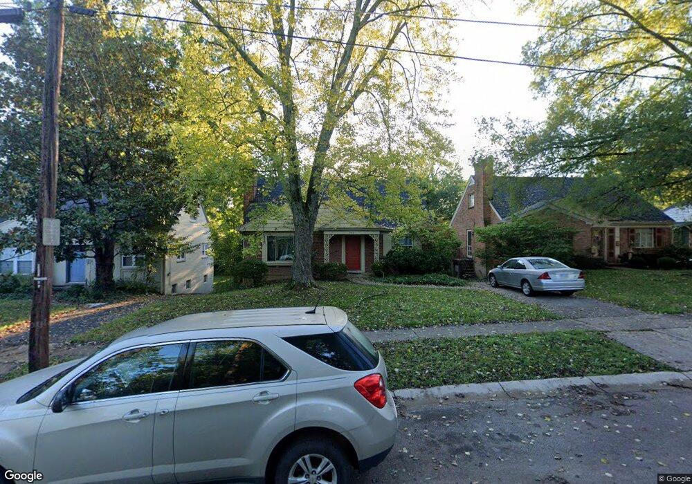
1712 Tiffany Ln Cincinnati, OH 45230
Mount Washington NeighborhoodEstimated Value: $277,000 - $321,579
4
Beds
3
Baths
1,879
Sq Ft
$162/Sq Ft
Est. Value
About This Home
This home is located at 1712 Tiffany Ln, Cincinnati, OH 45230 and is currently estimated at $305,145, approximately $162 per square foot. 1712 Tiffany Ln is a home located in Hamilton County with nearby schools including Mt. Washington Elementary School, Clark Montessori High School, and Shroder High School.
Ownership History
Date
Name
Owned For
Owner Type
Purchase Details
Closed on
Aug 23, 2007
Sold by
Paterson Samuel D and Paterson Marilyn J
Bought by
Komi Adam and Kodi Nema
Current Estimated Value
Home Financials for this Owner
Home Financials are based on the most recent Mortgage that was taken out on this home.
Original Mortgage
$151,500
Outstanding Balance
$96,558
Interest Rate
6.79%
Mortgage Type
Purchase Money Mortgage
Estimated Equity
$208,587
Create a Home Valuation Report for This Property
The Home Valuation Report is an in-depth analysis detailing your home's value as well as a comparison with similar homes in the area
Home Values in the Area
Average Home Value in this Area
Purchase History
| Date | Buyer | Sale Price | Title Company |
|---|---|---|---|
| Komi Adam | $160,000 | Attorney |
Source: Public Records
Mortgage History
| Date | Status | Borrower | Loan Amount |
|---|---|---|---|
| Open | Komi Adam | $151,500 |
Source: Public Records
Tax History Compared to Growth
Tax History
| Year | Tax Paid | Tax Assessment Tax Assessment Total Assessment is a certain percentage of the fair market value that is determined by local assessors to be the total taxable value of land and additions on the property. | Land | Improvement |
|---|---|---|---|---|
| 2024 | $4,643 | $77,676 | $7,896 | $69,780 |
| 2023 | $4,748 | $77,676 | $7,896 | $69,780 |
| 2022 | $3,432 | $50,309 | $6,636 | $43,673 |
| 2021 | $3,301 | $50,309 | $6,636 | $43,673 |
| 2020 | $3,398 | $50,309 | $6,636 | $43,673 |
| 2019 | $3,259 | $44,132 | $5,821 | $38,311 |
| 2018 | $3,264 | $44,132 | $5,821 | $38,311 |
| 2017 | $3,100 | $44,132 | $5,821 | $38,311 |
| 2016 | $3,366 | $47,250 | $6,650 | $40,600 |
| 2015 | $3,034 | $47,250 | $6,650 | $40,600 |
| 2014 | $3,056 | $47,250 | $6,650 | $40,600 |
| 2013 | $3,109 | $47,250 | $6,650 | $40,600 |
Source: Public Records
Map
Nearby Homes
- 6390 Cambridge Ave
- 6510 Waldorf Place
- 1605 Marlou Ln
- 6258 Benneville St
- 4 Cottage Ct
- 1528 Burney Ln
- 0 Berkshire Ln Unit 1835041
- 6537 Craigland Ct
- 1405 Dyer Ave
- 1634 Brandon Ave
- 1944 Rockland Ave
- 6137 Benneville St
- 7179 Paddison Rd
- 1844 Lindsey Ln
- 2091 Wadsbury Dr
- 6114 Glade Ave
- 6146 Mariwood Ln
- 1549 Sutton Ave
- 1297 Birney Ln
- a Salem Rd
- 1708 Tiffany Ln
- 1720 Tiffany Ln
- 6490 Cambridge Ave
- 1724 Tiffany Ln
- 1709 Brachman Ave
- 1713 Brachman Ave
- 1717 Brachman Ave
- 6430 Cambridge Ave
- 1719 Tiffany Ln
- 1719 Brachman Ave
- 1723 Tiffany Ln
- 1721 Brachman Ave
- 1734 Tiffany Ln
- 1727 Tiffany Ln
- 1679 Brachman Ave
- 1725 Brachman Ave
- 6433 Cambridge Ave
- 1727 Brachman Ave
- 1731 Tiffany Ln
- 6431 Cambridge Ave