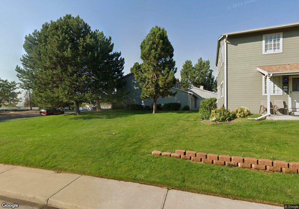
1712 W 101st Ave Thornton, CO 80260
Estimated Value: $287,000 - $360,600
2
Beds
3
Baths
1,689
Sq Ft
$201/Sq Ft
Est. Value
About This Home
This home is located at 1712 W 101st Ave, Thornton, CO 80260 and is currently estimated at $339,900, approximately $201 per square foot. 1712 W 101st Ave is a home located in Adams County with nearby schools including Hillcrest Elementary School, Silver Hills Middle School, and Northglenn High School.
Ownership History
Date
Name
Owned For
Owner Type
Purchase Details
Closed on
Aug 25, 2011
Sold by
Polzkill Jancy L and Plumerg Debra L
Bought by
Sweeden Patti L
Current Estimated Value
Purchase Details
Closed on
Sep 25, 2002
Sold by
Hillman Howard B
Bought by
Polzkill Jancy L and Plumberg Steven M
Home Financials for this Owner
Home Financials are based on the most recent Mortgage that was taken out on this home.
Original Mortgage
$146,250
Interest Rate
5.37%
Mortgage Type
Negative Amortization
Purchase Details
Closed on
Feb 13, 2002
Sold by
Frank Lisa and Shafer Monalisa
Bought by
Shafer Stephen C and Shafer Monalisa
Purchase Details
Closed on
May 17, 1995
Sold by
Hall Joseph C and Jones Angela K
Bought by
Hillman Howard B
Purchase Details
Closed on
Jul 17, 1991
Create a Home Valuation Report for This Property
The Home Valuation Report is an in-depth analysis detailing your home's value as well as a comparison with similar homes in the area
Home Values in the Area
Average Home Value in this Area
Purchase History
| Date | Buyer | Sale Price | Title Company |
|---|---|---|---|
| Sweeden Patti L | $132,500 | Chicago Title Co | |
| Polzkill Jancy L | $162,500 | -- | |
| Shafer Stephen C | -- | -- | |
| Hillman Howard B | $92,500 | Land Title | |
| -- | $65,500 | -- |
Source: Public Records
Mortgage History
| Date | Status | Borrower | Loan Amount |
|---|---|---|---|
| Previous Owner | Polzkill Jancy L | $146,250 | |
| Closed | Sweeden Patti L | $0 |
Source: Public Records
Tax History Compared to Growth
Tax History
| Year | Tax Paid | Tax Assessment Tax Assessment Total Assessment is a certain percentage of the fair market value that is determined by local assessors to be the total taxable value of land and additions on the property. | Land | Improvement |
|---|---|---|---|---|
| 2024 | $2,468 | $23,560 | $4,560 | $19,000 |
| 2023 | $2,444 | $26,450 | $3,520 | $22,930 |
| 2022 | $2,255 | $19,560 | $3,610 | $15,950 |
| 2021 | $2,330 | $19,560 | $3,610 | $15,950 |
| 2020 | $2,117 | $18,140 | $3,720 | $14,420 |
| 2019 | $2,120 | $18,140 | $3,720 | $14,420 |
| 2018 | $1,830 | $15,190 | $1,440 | $13,750 |
| 2017 | $1,666 | $15,190 | $1,440 | $13,750 |
| 2016 | $1,378 | $12,210 | $1,590 | $10,620 |
| 2015 | $1,376 | $12,210 | $1,590 | $10,620 |
| 2014 | -- | $9,750 | $1,590 | $8,160 |
Source: Public Records
Map
Nearby Homes
- 10023 Pecos St
- 2100 W 100th Ave Unit 202
- 2100 W 100th Ave Unit 351
- 2100 W 100th Ave Unit 338
- 2100 W 100th Ave Unit 124
- 2100 W 100th Ave Unit 347
- 2100 W 100th Ave Unit 357
- 2100 W 100th Ave Unit 73
- 2100 W 100th Ave Unit 59
- 2100 W 100th Ave Unit 166
- 2100 W 100th Ave Unit 186
- 2100 W 100th Ave Unit 158
- 2100 W 100th Ave Unit 394
- 10143 Quivas St
- 10204 Quivas St
- 1707 W 102nd Ave
- 9963 Lane St
- 2012 W 101st Ave
- 1935 W 102nd Ave
- 2029 W 102nd Ave
- 1714 W 101st Ave
- 1716 W 101st Ave
- 1710 W 101st Ave
- 1718 W 101st Ave
- 1708 W 101st Ave
- 1720 W 101st Ave
- 1706 W 101st Ave
- 1722 W 101st Ave
- 1704 W 101st Ave
- 1724 W 101st Ave
- 1702 W 101st Ave
- 1734 W 101st Ave
- 1732 W 101st Ave
- 1730 W 101st Ave
- 10000 Quivas St
- 1728 W 101st Ave
- 1736 W 101st Ave
- 1726 W 101st Ave
- 10028 Quivas St
- 1738 W 101st Ave