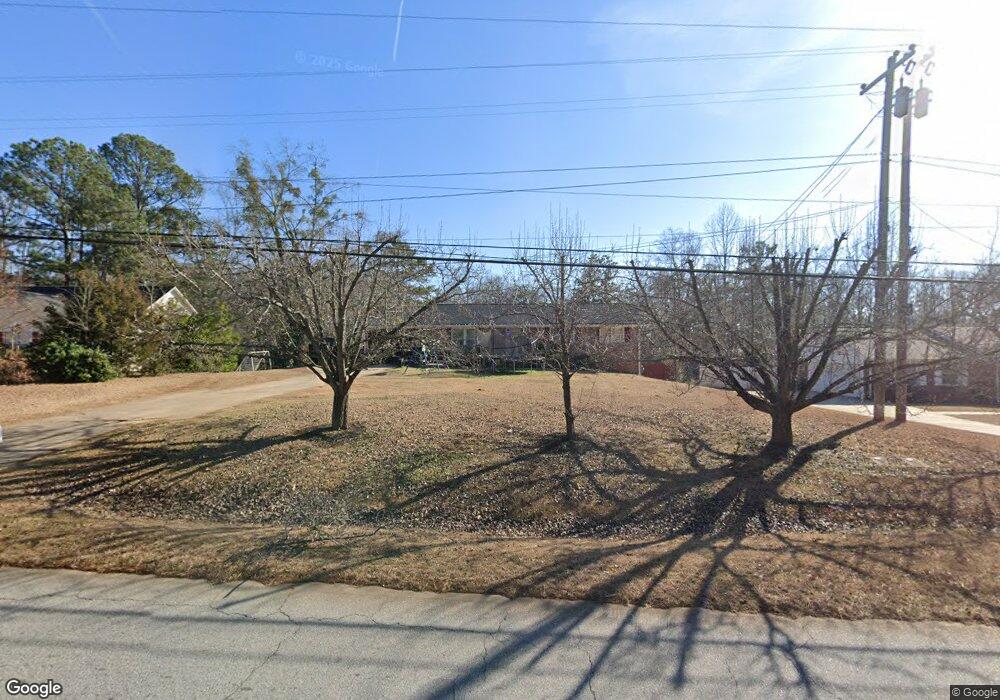
1712 W Poplar St Griffin, GA 30224
Spalding County NeighborhoodEstimated Value: $185,000 - $200,000
3
Beds
3
Baths
1,385
Sq Ft
$141/Sq Ft
Est. Value
About This Home
This home is located at 1712 W Poplar St, Griffin, GA 30224 and is currently estimated at $194,645, approximately $140 per square foot. 1712 W Poplar St is a home located in Spalding County with nearby schools including Orrs Elementary School, Carver Road Middle School, and Griffin High School.
Ownership History
Date
Name
Owned For
Owner Type
Purchase Details
Closed on
Apr 29, 2019
Sold by
Downton Gilbert George
Bought by
Cruz Juan Carlos Villalob
Current Estimated Value
Home Financials for this Owner
Home Financials are based on the most recent Mortgage that was taken out on this home.
Original Mortgage
$65,100
Outstanding Balance
$49,777
Interest Rate
4%
Mortgage Type
New Conventional
Estimated Equity
$144,868
Purchase Details
Closed on
Mar 1, 1974
Sold by
Smith Joseph R
Bought by
Downton Gilbert G and Downton Dorothy A
Purchase Details
Closed on
Feb 9, 1970
Sold by
Wilson E D
Bought by
Smith Gilbert G Etal
Purchase Details
Closed on
Oct 11, 1967
Sold by
Mixon F Q
Bought by
Wilson E D
Purchase Details
Closed on
Sep 24, 1947
Bought by
Mixon F Q
Create a Home Valuation Report for This Property
The Home Valuation Report is an in-depth analysis detailing your home's value as well as a comparison with similar homes in the area
Home Values in the Area
Average Home Value in this Area
Purchase History
| Date | Buyer | Sale Price | Title Company |
|---|---|---|---|
| Cruz Juan Carlos Villalob | $93,000 | -- | |
| Downton Gilbert G | -- | -- | |
| Smith Gilbert G Etal | $24,500 | -- | |
| Wilson E D | $3,300 | -- | |
| Mixon F Q | -- | -- |
Source: Public Records
Mortgage History
| Date | Status | Borrower | Loan Amount |
|---|---|---|---|
| Open | Cruz Juan Carlos Villalob | $65,100 |
Source: Public Records
Tax History Compared to Growth
Tax History
| Year | Tax Paid | Tax Assessment Tax Assessment Total Assessment is a certain percentage of the fair market value that is determined by local assessors to be the total taxable value of land and additions on the property. | Land | Improvement |
|---|---|---|---|---|
| 2024 | $2,418 | $65,620 | $5,040 | $60,580 |
| 2023 | $2,418 | $65,620 | $5,040 | $60,580 |
| 2022 | $2,333 | $58,368 | $4,032 | $54,336 |
| 2021 | $1,376 | $36,787 | $4,032 | $32,755 |
| 2020 | $1,266 | $34,034 | $2,822 | $31,212 |
| 2019 | $1,169 | $28,726 | $2,822 | $25,904 |
| 2018 | $0 | $18,385 | $2,621 | $15,764 |
| 2017 | $760 | $18,385 | $2,621 | $15,764 |
| 2016 | $739 | $17,596 | $2,621 | $14,975 |
| 2015 | $751 | $17,596 | $2,621 | $14,975 |
| 2014 | $774 | $17,596 | $2,621 | $14,975 |
Source: Public Records
Map
Nearby Homes
- 117 Mixon St
- 1663 Piedmont Rd
- 1169 W Poplar St
- 203 Ashley Dr
- 455 S Pine Hill Rd Unit 2
- 424 S Pine Hill Rd Unit 1
- TRACT A Newnan Rd
- 1613 Carriage Hills Dr
- 1611 Piedmont Rd
- 1740 Summerwoods Ln
- 1744 Summerwoods Ln
- 1705 Summerwoods Ln
- 1725 Wesminster Dr
- 450 Carver
- 1737 Wesminster Dr
- 1725 Wesminster Cir
- 501 Oak Grove Rd
- 1729 Mary Ave
- 1818 Abbey Rd
- 1610 Williamson Rd
- 1710 W Poplar St
- 1714 W Poplar St
- 1708 W Poplar St
- 1716 W Poplar St
- 125 Poplar Pointe Terrace
- 123 Poplar Pointe Terrace
- 1718 W Poplar St
- 127 Poplar Pointe Terrace
- 121 Poplar Pointe Terrace
- 119 Poplar Pointe Terrace
- 129 Poplar Pointe Terrace
- 1719 W Poplar St
- 1704 W Poplar St
- 113 Mixon St
- 0 Poplar Point Unit 8288822
- 0 Poplar Point
- 117 Poplar Pointe Terrace
- 131 Poplar Pointe Terrace
- 126 Poplar Pointe Terrace
- 115 Mixon St