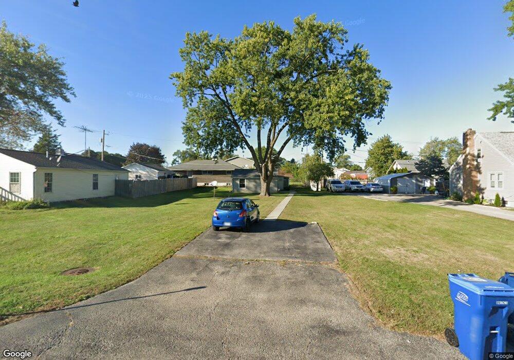
1712 W Yorkhouse Rd Waukegan, IL 60087
Estimated Value: $105,008 - $230,000
1
Bed
1
Bath
462
Sq Ft
$389/Sq Ft
Est. Value
About This Home
This home is located at 1712 W Yorkhouse Rd, Waukegan, IL 60087 and is currently estimated at $179,502, approximately $388 per square foot. 1712 W Yorkhouse Rd is a home located in Lake County with nearby schools including H R McCall Elementary School, Jack Benny Middle School, and Waukegan High School.
Ownership History
Date
Name
Owned For
Owner Type
Purchase Details
Closed on
Nov 5, 2021
Sold by
Linsky William M
Bought by
Mandujano Maria Del Carmen Montes
Current Estimated Value
Purchase Details
Closed on
Aug 23, 2021
Sold by
Wml Ent Llc Series 1712 Yorkhouse
Bought by
Linsky William M
Purchase Details
Closed on
Dec 7, 2011
Sold by
Linsky William M
Bought by
Wml Enterprises Llc Series 1712 Yorkhous
Purchase Details
Closed on
Apr 18, 2005
Sold by
Clark Cecelia and Clark Cecelia L
Bought by
Linsky William M
Create a Home Valuation Report for This Property
The Home Valuation Report is an in-depth analysis detailing your home's value as well as a comparison with similar homes in the area
Home Values in the Area
Average Home Value in this Area
Purchase History
| Date | Buyer | Sale Price | Title Company |
|---|---|---|---|
| Mandujano Maria Del Carmen Montes | $207,500 | Chicago Title | |
| Linsky William M | -- | None Available | |
| Wml Enterprises Llc Series 1712 Yorkhous | -- | None Available | |
| Linsky William M | $2,000 | -- |
Source: Public Records
Tax History Compared to Growth
Tax History
| Year | Tax Paid | Tax Assessment Tax Assessment Total Assessment is a certain percentage of the fair market value that is determined by local assessors to be the total taxable value of land and additions on the property. | Land | Improvement |
|---|---|---|---|---|
| 2024 | $2,249 | $26,645 | $5,451 | $21,194 |
| 2023 | $1,735 | $23,855 | $4,880 | $18,975 |
| 2022 | $1,735 | $17,750 | $4,059 | $13,691 |
| 2021 | $1,534 | $14,712 | $3,303 | $11,409 |
| 2020 | $1,554 | $13,706 | $3,077 | $10,629 |
| 2019 | $1,567 | $12,560 | $2,820 | $9,740 |
| 2018 | $1,910 | $14,749 | $3,991 | $10,758 |
| 2017 | $1,859 | $13,049 | $3,531 | $9,518 |
| 2016 | $1,755 | $11,339 | $3,068 | $8,271 |
| 2015 | $1,714 | $10,149 | $2,746 | $7,403 |
| 2014 | $1,484 | $8,771 | $2,953 | $5,818 |
| 2012 | $1,839 | $9,501 | $3,198 | $6,303 |
Source: Public Records
Map
Nearby Homes
- 37966 N Cornell Rd
- 3211 Rugby Ct
- 3411 N Lewis Ave
- 1636 Rice St
- 1612 Whitney St
- 38127 N Shore Ave
- 37905 N Loyola Ave
- 38362 N Manor Ave
- 3101 Country Club Ln
- 2613 N Lewis Ave
- 1730 W Beach Rd
- 38683 N Lewis Ave
- 38697 N Cedar Ave
- 2350 N Lewis Ave
- 12312 W Audrey Ave
- 11345 W Carnahan Ave
- 10241 W Bairstow Ave
- 2708 Dana Ave
- 2705 Dana Ave
- 11342-11364 W Wadsworth Rd
- 1716 W Yorkhouse Rd
- 1704 W Yorkhouse Rd
- 3209 Charleston Rd
- 3208 Cornell Rd
- 3213 Charleston Rd
- 3204 Cornell Rd
- 3212 Cornell Rd
- 1818 W Yorkhouse Rd
- 3219 Charleston Rd
- 1719 W Yorkhouse Rd
- 1713 W Yorkhouse Rd
- 1709 W Yorkhouse Rd
- 3216 Cornell Rd
- 3211 N Lewis Ave
- 3221 Charleston Rd
- 3212 Charleston Rd
- 3203 Cornell Rd
- 3220 Cornell Rd
- 3128 Cornell Rd
- 3209 Cornell Rd