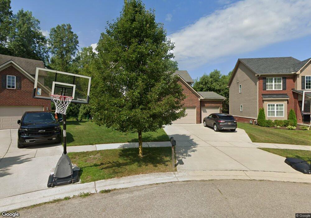
17124 Dew Point Ct Brownstown, MI 48174
Estimated Value: $400,894 - $474,000
4
Beds
3
Baths
2,213
Sq Ft
$196/Sq Ft
Est. Value
About This Home
This home is located at 17124 Dew Point Ct, Brownstown, MI 48174 and is currently estimated at $432,724, approximately $195 per square foot. 17124 Dew Point Ct is a home located in Wayne County with nearby schools including Eureka Heights Elementary School, Robert J. West Middle School, and Summit Academy North Elementary School.
Ownership History
Date
Name
Owned For
Owner Type
Purchase Details
Closed on
Oct 23, 2014
Sold by
Mjc Browntown Llc
Bought by
Young Scott
Current Estimated Value
Purchase Details
Closed on
Nov 25, 2013
Sold by
Mjc Brownstown Llc
Bought by
Mjc Land Investments Llc
Purchase Details
Closed on
Aug 4, 2010
Sold by
Mjc Icon Llc
Bought by
Mjc Brownstown Llc
Create a Home Valuation Report for This Property
The Home Valuation Report is an in-depth analysis detailing your home's value as well as a comparison with similar homes in the area
Home Values in the Area
Average Home Value in this Area
Purchase History
| Date | Buyer | Sale Price | Title Company |
|---|---|---|---|
| Young Scott | $202,714 | None Available | |
| Mjc Land Investments Llc | -- | None Available | |
| Mjc Brownstown Llc | -- | None Available |
Source: Public Records
Tax History
| Year | Tax Paid | Tax Assessment Tax Assessment Total Assessment is a certain percentage of the fair market value that is determined by local assessors to be the total taxable value of land and additions on the property. | Land | Improvement |
|---|---|---|---|---|
| 2025 | $2,279 | $190,600 | $0 | $0 |
| 2024 | $2,218 | $182,400 | $0 | $0 |
| 2023 | $2,447 | $148,600 | $0 | $0 |
| 2022 | $4,717 | $141,300 | $0 | $0 |
| 2021 | $4,162 | $128,800 | $0 | $0 |
| 2020 | $4,093 | $130,100 | $0 | $0 |
| 2019 | $4,064 | $121,600 | $0 | $0 |
| 2018 | $1,864 | $99,900 | $0 | $0 |
| 2017 | $4,263 | $99,100 | $0 | $0 |
| 2016 | $3,847 | $105,500 | $0 | $0 |
| 2015 | $10,000 | $100,000 | $0 | $0 |
| 2013 | $925 | $15,900 | $0 | $0 |
| 2012 | -- | $15,900 | $15,900 | $0 |
Source: Public Records
Map
Nearby Homes
- 17425 Spartan Dr
- 17361 Spartan Dr
- 17482 Sunny Crest Dr
- 26263 Oakley Ct Unit 52
- 17178 Michigan Heights Dr
- 26731 Pennsylvania Rd
- 15810 Beech Daly Rd Unit 366
- 15810 Beech Daly Rd Unit 369
- 16401 Terrace Village Dr
- 16253 Terrace Village Dr Unit 42
- 16609 Terrace Village Dr Unit 117
- 16006 Terrace Village Dr Unit 12
- VAC Sibley Rd
- 17901 Inkster Rd
- 16031 Beech Daly Rd Unit 173
- 16031 Beech Daly Rd Unit 192
- 16031 Beech Daly Rd Unit 65
- 16031 Beech Daly Rd Unit 109
- 16031 Beech Daly Rd Unit 80
- 16031 Beech Daly Rd Unit 40
- 17124 Dew Point Ct
- 17134 Dew Point Ct
- 17134 Dew Point Ct
- 17134 Dew Point Ct
- 17144 Dew Point Ct
- 17144 Dew Point Ct
- 17154 Dew Point Ct
- 17235 Sunny Crest Dr
- 17245 Sunny Crest Dr
- 17245 Sunny Crest Dr
- 17154 Dew Point Ct
- 17154 Dew Point Ct
- 17194 Dew Point Crt
- 17184 Dew Point Crt
- 17164 Dew Point Ct
- 17164 Dew Point Ct
- 17174 Dew Point Ct
- 17174 Dew Point Ct
- 17184 Dew Point Ct
- 17275 Sunny Crest Dr
Your Personal Tour Guide
Ask me questions while you tour the home.