17124 Mcvay Rd Fredericktown, OH 43019
Estimated Value: $385,000 - $573,011
3
Beds
3
Baths
2,400
Sq Ft
$194/Sq Ft
Est. Value
About This Home
This home is located at 17124 Mcvay Rd, Fredericktown, OH 43019 and is currently estimated at $466,253, approximately $194 per square foot. 17124 Mcvay Rd is a home located in Knox County with nearby schools including Mount Vernon High School.
Ownership History
Date
Name
Owned For
Owner Type
Purchase Details
Closed on
Jun 12, 2012
Sold by
Doup Brooke H and Schwaberow Doug
Bought by
Doup Brooke H
Current Estimated Value
Purchase Details
Closed on
Nov 23, 2005
Sold by
Countrywide Grove City Ltd
Bought by
Doup Brooke H and Schwaberow Doug
Home Financials for this Owner
Home Financials are based on the most recent Mortgage that was taken out on this home.
Original Mortgage
$31,000
Interest Rate
5.87%
Mortgage Type
Future Advance Clause Open End Mortgage
Purchase Details
Closed on
Feb 11, 2004
Bought by
Galloway Land Company
Create a Home Valuation Report for This Property
The Home Valuation Report is an in-depth analysis detailing your home's value as well as a comparison with similar homes in the area
Purchase History
| Date | Buyer | Sale Price | Title Company |
|---|---|---|---|
| Doup Brooke H | $188 | None Available | |
| Doup Brooke H | $27,900 | None Available | |
| Galloway Land Company | -- | -- |
Source: Public Records
Mortgage History
| Date | Status | Borrower | Loan Amount |
|---|---|---|---|
| Previous Owner | Doup Brooke H | $31,000 |
Source: Public Records
Tax History
| Year | Tax Paid | Tax Assessment Tax Assessment Total Assessment is a certain percentage of the fair market value that is determined by local assessors to be the total taxable value of land and additions on the property. | Land | Improvement |
|---|---|---|---|---|
| 2024 | $6,270 | $148,400 | $27,290 | $121,110 |
| 2023 | $6,400 | $148,400 | $27,290 | $121,110 |
| 2022 | $4,920 | $102,340 | $18,820 | $83,520 |
| 2021 | $4,920 | $102,340 | $18,820 | $83,520 |
| 2020 | $4,440 | $94,570 | $18,820 | $75,750 |
| 2019 | $559 | $11,140 | $11,140 | $0 |
| 2018 | $560 | $11,140 | $11,140 | $0 |
| 2017 | $580 | $11,140 | $11,140 | $0 |
| 2016 | $496 | $10,320 | $10,320 | $0 |
| 2015 | $499 | $10,320 | $10,320 | $0 |
| 2014 | $849 | $17,580 | $10,320 | $7,260 |
| 2013 | $1,008 | $18,730 | $10,050 | $8,680 |
Source: Public Records
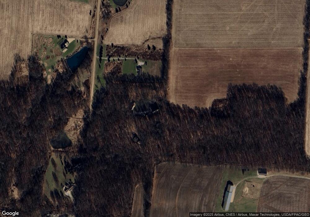
Map
Nearby Homes
- 17921 E Shady Ln
- 0 Divelbiss Rd
- 15596 Carson Rd
- 14499 Wooster Rd
- 14281 N Liberty Rd
- 17970 Scott Rd
- 13999 Wooster Rd
- 15700 Sherri Rd
- 0 Crooked St
- 15700 Sherri Dr
- 0 Crooked Street Land Split 2
- 14021 Old Mansfield Rd
- 12700 Hilltop Dr
- 12760 Hilltop Dr
- 14293 Gilchrist Rd
- 16511 Gilchrist Rd
- 14835 Indian Hills Rd
- 0 Indian Hills Rd
- 11810 Woodview Ln
- 1737 Vernonview Dr
- 17162 Mcvay Rd
- 17058 Mcvay Rd
- 17063 Mcvay Rd
- 17175 Mcvay Rd
- 16935 Mcvay Rd
- 16901 Mcvay Rd
- 16837 S Mcvay Rd
- 0 S Mcvay Rd
- 5.26 Acres S Mcvay Rd
- 16775 Mcvay Rd
- 16616 Smith Rd
- 16839 Mcvay Rd
- 16524 Smith Rd
- 16500 Smith Rd
- 16440 Smith Rd
- 16621 Smith Rd
- 16641 Smith Rd
- 16939 Smith Rd
- 16845 Mcvay Rd
- 17420 Divelbiss Rd
Your Personal Tour Guide
Ask me questions while you tour the home.