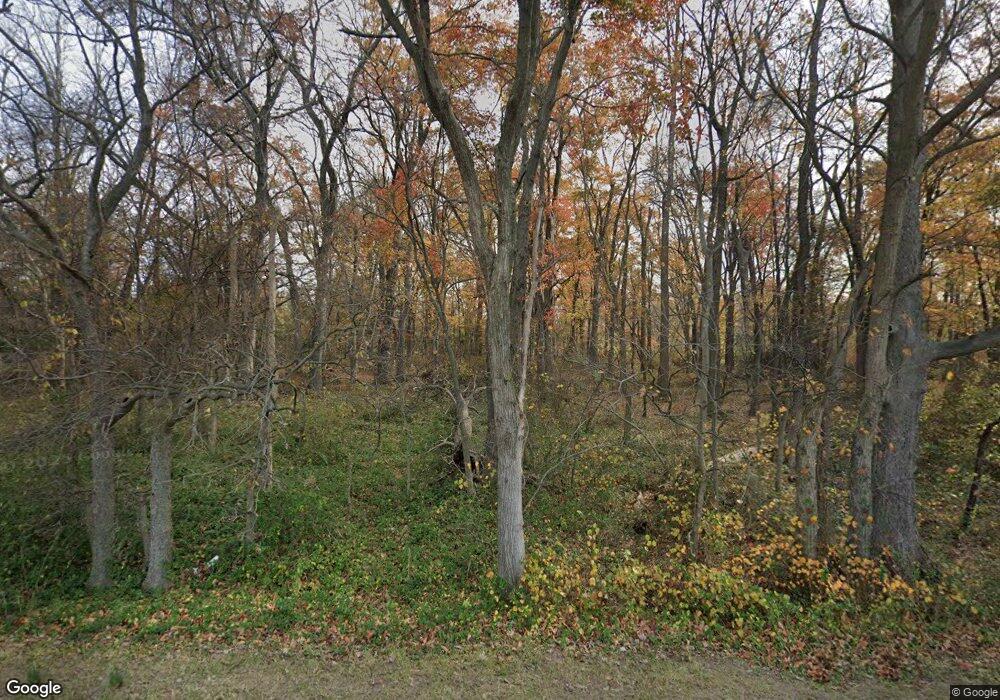
Estimated Value: $1,037,000 - $1,390,757
--
Bed
4
Baths
4,222
Sq Ft
$295/Sq Ft
Est. Value
About This Home
This home is located at 17125 Darnestown Rd, Boyds, MD 20841 and is currently estimated at $1,244,689, approximately $294 per square foot. 17125 Darnestown Rd is a home located in Montgomery County with nearby schools including Poolesville Elementary School, John H. Poole Middle School, and Poolesville High School.
Ownership History
Date
Name
Owned For
Owner Type
Purchase Details
Closed on
Jun 14, 2001
Sold by
Baker Harold F
Bought by
Baker Harold F
Current Estimated Value
Purchase Details
Closed on
Nov 13, 2000
Sold by
Baker Harold F
Bought by
Baker Harold F
Purchase Details
Closed on
Nov 30, 1999
Sold by
Baker Harold F
Bought by
Baker Harold F
Purchase Details
Closed on
Sep 10, 1999
Sold by
Baker Harold F
Bought by
Baker Harold F
Create a Home Valuation Report for This Property
The Home Valuation Report is an in-depth analysis detailing your home's value as well as a comparison with similar homes in the area
Home Values in the Area
Average Home Value in this Area
Purchase History
| Date | Buyer | Sale Price | Title Company |
|---|---|---|---|
| Baker Harold F | -- | -- | |
| Baker Harold F | -- | -- | |
| Baker Harold F | -- | -- | |
| Baker Harold F | -- | -- |
Source: Public Records
Tax History Compared to Growth
Tax History
| Year | Tax Paid | Tax Assessment Tax Assessment Total Assessment is a certain percentage of the fair market value that is determined by local assessors to be the total taxable value of land and additions on the property. | Land | Improvement |
|---|---|---|---|---|
| 2025 | $11,199 | $923,833 | -- | -- |
| 2024 | $11,199 | $905,000 | $272,900 | $632,100 |
| 2023 | $11,757 | $896,900 | $0 | $0 |
| 2022 | $9,823 | $888,800 | $0 | $0 |
| 2021 | $0 | $880,700 | $272,900 | $607,800 |
| 2020 | $9,541 | $872,667 | $0 | $0 |
| 2019 | $9,428 | $864,633 | $0 | $0 |
| 2018 | $9,349 | $856,600 | $272,900 | $583,700 |
| 2017 | $9,367 | $842,800 | $0 | $0 |
| 2016 | -- | $829,000 | $0 | $0 |
| 2015 | $9,410 | $815,200 | $0 | $0 |
| 2014 | $9,410 | $815,200 | $0 | $0 |
Source: Public Records
Map
Nearby Homes
- 0 White Ground Rd Unit MDMC2199108
- 17007 Whites Ferry Rd
- 19005 Dowden Cir
- 0 Hoyles Mill Rd
- 17528 Collier Cir
- 16420 Black Rock Rd
- The Vermeer Plan at Estates at Hartz Farm
- The Rodin Plan at Estates at Hartz Farm
- The Hamner II Plan at Estates at Hartz Farm
- The Bernini Plan at Estates at Hartz Farm
- The Walton Plan at Estates at Hartz Farm
- 17108 Wild Turkey Way
- 17112 Wild Turkey Way
- 17100 Wild Turkey Way
- 16400 Black Rock Rd
- 14418 Ashleigh Greene Rd
- 17616 Soper St
- 17131 Black Rock Rd
- 15841 Seneca Run Ct
- 0 Jerusalem Church Rd
- 17201 Darnestown Rd
- 17315 Darnestown Rd
- 17101 Darnestown Rd
- 2110 Peach Tree Rd
- 17021 Darnestown Rd
- 17300 Darnestown Rd
- 17704 White Ground Rd
- 18101 Bucklodge Rd
- 17700 White Ground Rd
- 16915 Darnestown Rd
- 18111 Bucklodge Rd
- 17300 White Ground Rd
- 17601 White Ground Rd
- 17517 White Ground Rd
- 17511 White Ground Rd
- 17615 White Ground Rd
- 17501 White Ground Rd
- 18100 Bucklodge Rd
- 17415 White Ground Rd
- 17000 White Ground Rd
