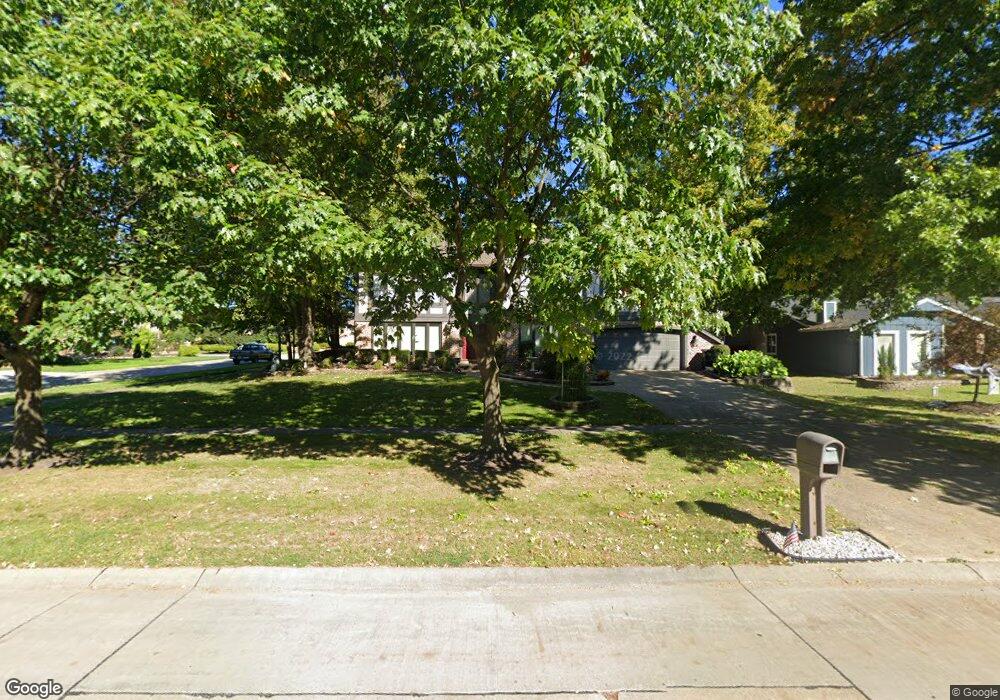
17126 Falmouth Dr Strongsville, OH 44136
Estimated Value: $387,000 - $505,000
4
Beds
3
Baths
3,516
Sq Ft
$128/Sq Ft
Est. Value
About This Home
This home is located at 17126 Falmouth Dr, Strongsville, OH 44136 and is currently estimated at $448,842, approximately $127 per square foot. 17126 Falmouth Dr is a home located in Cuyahoga County with nearby schools including Strongsville High School and Saint Ambrose Catholic School.
Ownership History
Date
Name
Owned For
Owner Type
Purchase Details
Closed on
Feb 11, 2010
Sold by
Pfaff Richard W and Pfaff Linda D
Bought by
Pfaff Richard
Current Estimated Value
Purchase Details
Closed on
Apr 25, 1989
Sold by
Pfaff Richard W
Bought by
Pfaff Richard W
Purchase Details
Closed on
Aug 31, 1983
Bought by
Pfaff Richard W
Purchase Details
Closed on
Apr 18, 1983
Bought by
Parkview Corp
Purchase Details
Closed on
Jan 1, 1980
Bought by
Casa Dev Co
Create a Home Valuation Report for This Property
The Home Valuation Report is an in-depth analysis detailing your home's value as well as a comparison with similar homes in the area
Home Values in the Area
Average Home Value in this Area
Purchase History
| Date | Buyer | Sale Price | Title Company |
|---|---|---|---|
| Pfaff Richard | -- | Attorney | |
| Pfaff Richard W | -- | -- | |
| Pfaff Richard W | $149,000 | -- | |
| Parkview Corp | -- | -- | |
| Casa Dev Co | -- | -- |
Source: Public Records
Tax History Compared to Growth
Tax History
| Year | Tax Paid | Tax Assessment Tax Assessment Total Assessment is a certain percentage of the fair market value that is determined by local assessors to be the total taxable value of land and additions on the property. | Land | Improvement |
|---|---|---|---|---|
| 2024 | $6,409 | $136,500 | $31,955 | $104,545 |
| 2023 | $6,597 | $105,360 | $25,310 | $80,050 |
| 2022 | $6,549 | $105,350 | $25,310 | $80,050 |
| 2021 | $6,498 | $105,350 | $25,310 | $80,050 |
| 2020 | $6,676 | $95,760 | $23,000 | $72,770 |
| 2019 | $6,480 | $273,600 | $65,700 | $207,900 |
| 2018 | $2,941 | $95,760 | $23,000 | $72,770 |
| 2017 | $5,928 | $89,360 | $19,710 | $69,650 |
| 2016 | $5,880 | $89,360 | $19,710 | $69,650 |
| 2015 | $5,963 | $89,360 | $19,710 | $69,650 |
| 2014 | $5,963 | $89,360 | $19,710 | $69,650 |
Source: Public Records
Map
Nearby Homes
- 16711 Beech Cir
- 16486 S Red Rock Dr
- 18411 Yorktown Oval
- 17682 Drake Rd
- 17130 Golden Star Dr
- 18229 Howe Rd
- 17159 Turkey Meadow Ln
- 3550 Boston Rd
- 17934 Cambridge Oval
- 17024 Bear Creek Ln
- 18294 Drake Rd
- 97 Weathervane Ln
- 15604-REAR Boston Rd
- 18848 Pearl Rd
- 19694 Benbow Rd
- 16650 Lanier Ave
- 19740 Benbow Rd
- 14985 Camden Cir
- 15188 Trails Landing
- 196 Pinnacle Dr
- 17074 Falmouth Dr
- 18573 Nantucket Row
- 17168 Falmouth Dr
- 17040 Falmouth Dr
- 18541 Nantucket Row
- 17135 Falmouth Dr
- 18574 Nantucket Row
- 17177 Falmouth Dr
- 17081 Falmouth Dr
- 17210 Falmouth Dr
- 17006 Falmouth Dr
- 17219 Falmouth Dr
- 17047 Falmouth Dr
- 18524 Nantucket Row
- 18509 Nantucket Row
- 16588 S White Oaks Dr
- 17261 Falmouth Dr
- 16972 Falmouth Dr
- 17292 Falmouth Dr
- 16591 S White Oaks Dr