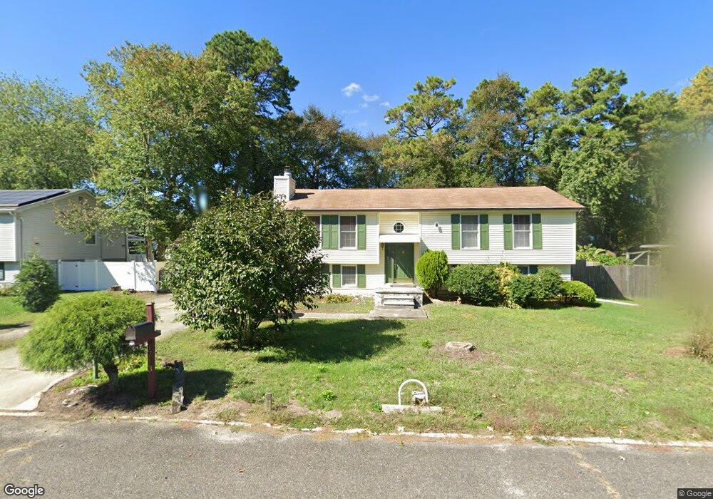
1713 Branch Dr Mays Landing, NJ 08330
Estimated Value: $352,702 - $396,000
--
Bed
--
Bath
1,973
Sq Ft
$190/Sq Ft
Est. Value
About This Home
This home is located at 1713 Branch Dr, Mays Landing, NJ 08330 and is currently estimated at $375,234, approximately $190 per square foot. 1713 Branch Dr is a home located in Atlantic County with nearby schools including Joseph Shaner School, George L. Hess Educational Complex, and William Davies Middle School.
Ownership History
Date
Name
Owned For
Owner Type
Purchase Details
Closed on
Mar 10, 2011
Sold by
Phommathep Hing and Phommathep Outama
Bought by
Miyakawa Vonevilaylak and Phommathep Outama
Current Estimated Value
Purchase Details
Closed on
Jul 13, 2010
Sold by
Thamma Air and Thamma Khotamy
Bought by
Phommathep Hing and Phommathep Outama
Purchase Details
Closed on
Jun 30, 1994
Sold by
Copriviza John
Bought by
Air Thamma and Thamma Khotamy
Home Financials for this Owner
Home Financials are based on the most recent Mortgage that was taken out on this home.
Original Mortgage
$74,000
Interest Rate
8.51%
Create a Home Valuation Report for This Property
The Home Valuation Report is an in-depth analysis detailing your home's value as well as a comparison with similar homes in the area
Home Values in the Area
Average Home Value in this Area
Purchase History
| Date | Buyer | Sale Price | Title Company |
|---|---|---|---|
| Miyakawa Vonevilaylak | -- | None Available | |
| Phommathep Outama | -- | None Available | |
| Phommathep Hing | -- | None Available | |
| Air Thamma | $114,000 | -- |
Source: Public Records
Mortgage History
| Date | Status | Borrower | Loan Amount |
|---|---|---|---|
| Previous Owner | Air Thamma | $74,000 |
Source: Public Records
Tax History Compared to Growth
Tax History
| Year | Tax Paid | Tax Assessment Tax Assessment Total Assessment is a certain percentage of the fair market value that is determined by local assessors to be the total taxable value of land and additions on the property. | Land | Improvement |
|---|---|---|---|---|
| 2025 | $6,605 | $192,500 | $48,300 | $144,200 |
| 2024 | $6,605 | $192,500 | $48,300 | $144,200 |
| 2023 | $6,210 | $192,500 | $48,300 | $144,200 |
| 2022 | $6,210 | $192,500 | $48,300 | $144,200 |
| 2021 | $6,197 | $192,500 | $48,300 | $144,200 |
| 2020 | $6,197 | $192,500 | $48,300 | $144,200 |
| 2019 | $6,212 | $192,500 | $48,300 | $144,200 |
| 2018 | $5,994 | $192,500 | $48,300 | $144,200 |
| 2017 | $5,900 | $192,500 | $48,300 | $144,200 |
| 2016 | $5,735 | $192,500 | $48,300 | $144,200 |
| 2015 | $5,540 | $192,500 | $48,300 | $144,200 |
| 2014 | $5,582 | $212,500 | $53,300 | $159,200 |
Source: Public Records
Map
Nearby Homes
- 5926 Berry Dr
- 5910 Redwood Ct
- 5910 Somerset Dr
- 5906 Vine Dr
- 55 Lewis Dr
- 000 Apple St
- 0 Apple St
- 40 Vender Ln
- 18 Lewis Dr
- 94 Merlino Ln
- Rt 50 and Cedar
- Bl 531 Lot 8&9 Adams Ave
- 42 Ernst Ct
- 0 Cape May Ave
- Lot:11.02-12.02 Estelle Ave
- B:534 L:11.01 Estelle Ave
- B:534 L:12.02 Estelle Ave
- B:534 L:11.02 Estelle Ave
- Rt 50 and Old Mays Landing Rd
- 1st First Ave
- 1715 Branch Dr
- 1711 Branch Dr
- 5928 Clover Leaf Dr
- 5926 Clover Leaf Dr
- 1714 Branch Dr
- 5930 Clover Leaf Dr
- 1712 Branch Dr
- 5924 Clover Leaf Dr
- 1709 Branch Dr
- 5913 Elmhurst Dr
- 1710 Branch Dr
- 5915 Elmhurst Dr
- 5932 Clover Leaf Dr
- 1707 Branch Dr
- 1708 Branch Dr
- 5922 Clover Leaf Dr
- 1714 Candlewood Dr
- 5934 Clover Leaf Dr
- 5908 Elmhurst Dr
- 1712 Candlewood Dr