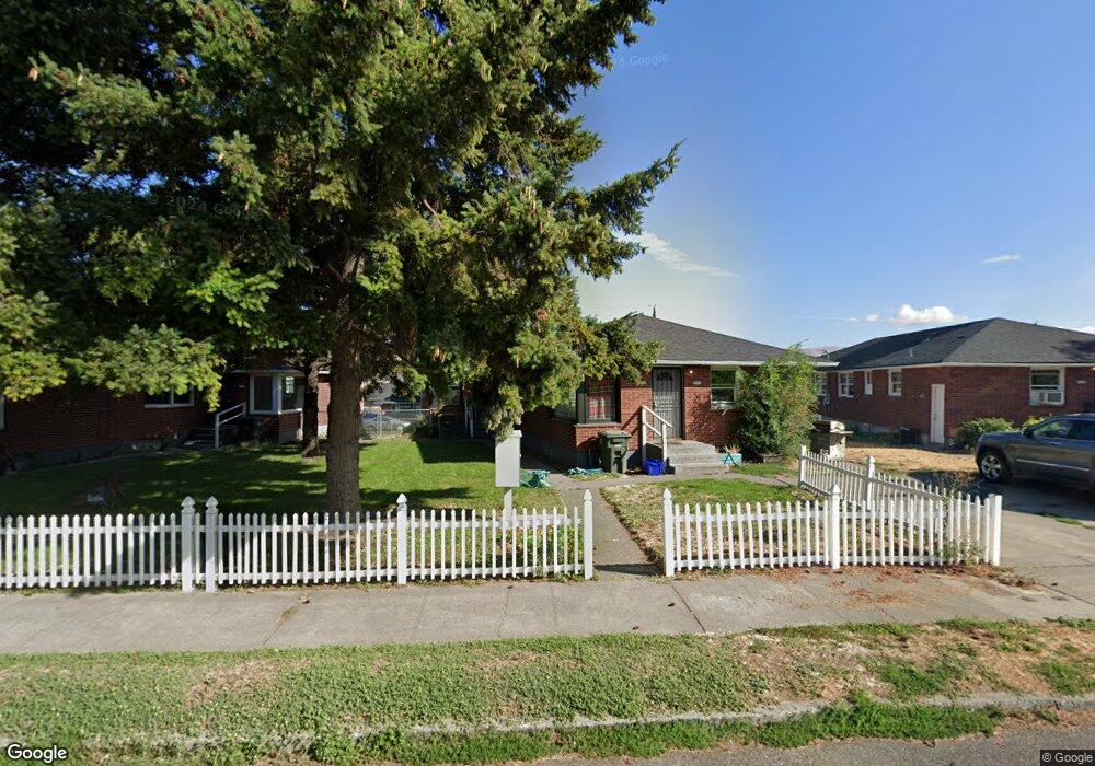
1713 E 10th St the Dalles, OR 97058
Estimated Value: $405,582 - $432,000
4
Beds
2
Baths
1,700
Sq Ft
$246/Sq Ft
Est. Value
About This Home
This home is located at 1713 E 10th St, the Dalles, OR 97058 and is currently estimated at $418,791, approximately $246 per square foot. 1713 E 10th St is a home located in Wasco County with nearby schools including Dry Hollow Elementary School, The Dalles Middle School, and The Dalles High School.
Ownership History
Date
Name
Owned For
Owner Type
Purchase Details
Closed on
Oct 25, 2022
Sold by
Jamison Marianne H and Perasso Janette
Bought by
Green Brenda
Current Estimated Value
Home Financials for this Owner
Home Financials are based on the most recent Mortgage that was taken out on this home.
Original Mortgage
$245,000
Outstanding Balance
$234,921
Interest Rate
5.89%
Mortgage Type
New Conventional
Estimated Equity
$183,870
Purchase Details
Closed on
Jul 13, 2016
Sold by
Jamison Marianne H and Perasso Janette P
Bought by
Jamison Marianne H and Perasso Janette P
Create a Home Valuation Report for This Property
The Home Valuation Report is an in-depth analysis detailing your home's value as well as a comparison with similar homes in the area
Purchase History
| Date | Buyer | Sale Price | Title Company |
|---|---|---|---|
| Green Brenda | $350,000 | Amerititle | |
| Jamison Marianne H | -- | None Available |
Source: Public Records
Mortgage History
| Date | Status | Borrower | Loan Amount |
|---|---|---|---|
| Open | Green Brenda | $245,000 |
Source: Public Records
Tax History
| Year | Tax Paid | Tax Assessment Tax Assessment Total Assessment is a certain percentage of the fair market value that is determined by local assessors to be the total taxable value of land and additions on the property. | Land | Improvement |
|---|---|---|---|---|
| 2025 | $3,277 | $182,421 | -- | -- |
| 2024 | $3,188 | $177,108 | -- | -- |
| 2023 | $3,095 | $171,950 | $0 | $0 |
| 2022 | $3,026 | $244,135 | $0 | $0 |
| 2021 | $2,934 | $237,024 | $0 | $0 |
| 2020 | $2,861 | $230,120 | $0 | $0 |
| 2019 | $3,021 | $223,417 | $0 | $0 |
| 2018 | $2,937 | $148,326 | $0 | $0 |
| 2017 | $2,844 | $144,006 | $0 | $0 |
| 2016 | $2,783 | $139,812 | $0 | $0 |
| 2015 | $2,736 | $135,740 | $0 | $0 |
| 2014 | $2,659 | $131,786 | $0 | $0 |
Source: Public Records
Map
Nearby Homes
- 1020 Oregon St
- 1829 E 8th St
- 1300 View Ct
- 1625 E 13th Place
- 1620 E 13th Place
- 1508 E 12th St
- 1509 Quinton St
- 1514 E 14th St
- 1211 E 10th St
- 1704 Oakwood Dr
- 1812 Roberts St
- 101 N Boat Basin Rd Unit C-17
- 101 N Boat Basin Rd
- 101 N Boat Basin Rd Unit A-09
- 2318 E 13th St
- 2410 E 12th St
- 1022 E 10th St
- 700 E 2nd St
- 2444 E 10th St
- 910 E 13th St
- 1713/15 E 10th
- 1715 E 10th St
- 1711 E 10th St
- 1717 E 10th St
- 1709 E 10th St
- 1709/11 E 10th
- 1721 E 10th St
- 1714 E 9th St
- 1012 Dry Hollow Rd
- 1725 E 10th St
- 1714 E 10th St
- 1710 E 10th St
- 1718 E 10th St
- 1104 Dry Hollow Rd
- 1720 E 9th St
- 1722 E 10th St
- 1729 E 10th St
- 1700 E 9th St
- 1726 E 10th St
- 1108 Dry Hollow Rd
Your Personal Tour Guide
Ask me questions while you tour the home.