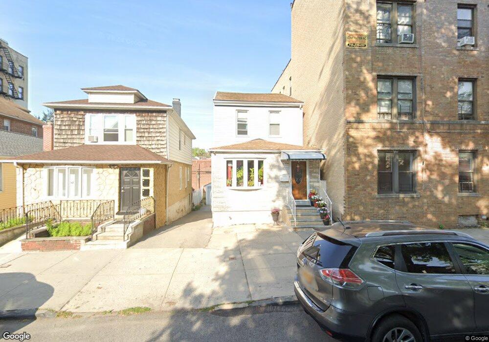
1713 Hobart Ave Bronx, NY 10461
Middletown-Pelham Bay NeighborhoodEstimated Value: $671,713 - $818,000
--
Bed
--
Bath
1,536
Sq Ft
$476/Sq Ft
Est. Value
About This Home
This home is located at 1713 Hobart Ave, Bronx, NY 10461 and is currently estimated at $731,678, approximately $476 per square foot. 1713 Hobart Ave is a home located in Bronx County with nearby schools including P.S. 71 Rose E Scala, Herbert H Lehman High School, and St. Theresa School.
Ownership History
Date
Name
Owned For
Owner Type
Purchase Details
Closed on
Apr 11, 2007
Sold by
Darbenzio Frank and Darbenzio Lillian
Bought by
Garcia Jesus and Garcia Silvia
Current Estimated Value
Home Financials for this Owner
Home Financials are based on the most recent Mortgage that was taken out on this home.
Original Mortgage
$324,000
Outstanding Balance
$196,760
Interest Rate
6.23%
Mortgage Type
Purchase Money Mortgage
Estimated Equity
$534,918
Create a Home Valuation Report for This Property
The Home Valuation Report is an in-depth analysis detailing your home's value as well as a comparison with similar homes in the area
Home Values in the Area
Average Home Value in this Area
Purchase History
| Date | Buyer | Sale Price | Title Company |
|---|---|---|---|
| Garcia Jesus | $405,000 | -- |
Source: Public Records
Mortgage History
| Date | Status | Borrower | Loan Amount |
|---|---|---|---|
| Open | Garcia Jesus | $324,000 |
Source: Public Records
Tax History Compared to Growth
Tax History
| Year | Tax Paid | Tax Assessment Tax Assessment Total Assessment is a certain percentage of the fair market value that is determined by local assessors to be the total taxable value of land and additions on the property. | Land | Improvement |
|---|---|---|---|---|
| 2025 | $5,702 | $30,094 | $6,173 | $23,921 |
| 2024 | $5,702 | $28,391 | $5,839 | $22,552 |
| 2023 | $5,440 | $26,784 | $6,010 | $20,774 |
| 2022 | $5,347 | $37,800 | $9,600 | $28,200 |
| 2021 | $5,595 | $32,940 | $9,600 | $23,340 |
| 2020 | $5,308 | $28,500 | $9,600 | $18,900 |
| 2019 | $4,949 | $29,400 | $9,600 | $19,800 |
| 2018 | $4,550 | $22,320 | $9,600 | $12,720 |
| 2017 | $4,937 | $24,218 | $8,908 | $15,310 |
| 2016 | $4,742 | $23,722 | $9,536 | $14,186 |
| 2015 | $2,756 | $22,380 | $10,680 | $11,700 |
| 2014 | $2,756 | $21,816 | $9,906 | $11,910 |
Source: Public Records
Map
Nearby Homes
- 3036 Buhre Ave
- 1725 Edison Ave Unit 4C
- 1725 Edison Ave Unit 2D
- 2941 Middletown Rd
- 1615 Mahan Ave
- 2935 Middletown Rd Unit B
- 1815 Mahan Ave
- 1573 Hollywood Ave
- 1856 Edison Ave
- 3121 Middletown Rd Unit 6H
- 3121 Middletown Rd Unit 4K
- 3121 Middletown Rd Unit 11H
- 3121 Middletown Rd Unit 7L
- 3121 Middletown Rd Unit 2K
- 3121 Middletown Rd Unit 7G
- 3121 Middletown Rd Unit 3L
- 2884 Saint Theresa Ave
- 2866 Middletown Rd
- 2873 Roebling Ave
- 1826 Mulford Ave
- 1711 Hobart Ave
- 1709 Hobart Ave
- 1721 Hobart Ave
- 1707 Hobart Ave
- 1720 Crosby Ave
- 1722 Crosby Ave
- 1731 Hobart Ave
- 1710 Crosby Ave
- 3015 Roberts Ave
- 1730 Crosby Ave
- 1733 Hobart Ave
- 1714 Hobart Ave
- 1712 Hobart Ave
- 1716 Hobart Ave
- 1710 Hobart Ave
- 1746 Crosby Ave
- 1720 Hobart Ave
- 3031 Roberts Ave
- 1735 Hobart Ave
- 1722 Hobart Ave Unit 2