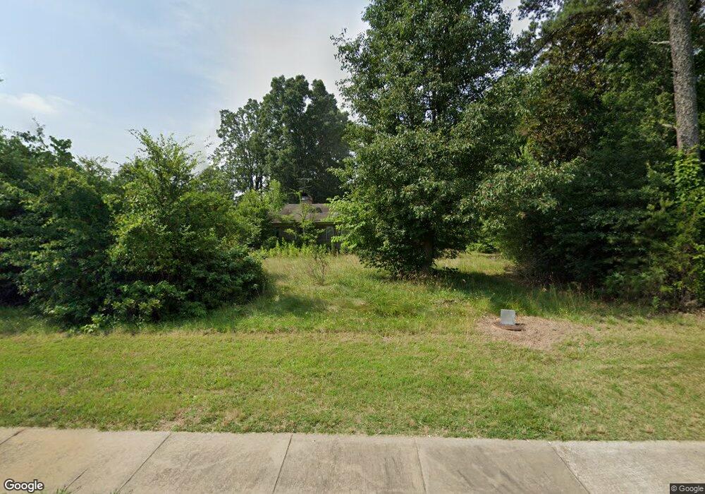
1713 Main St W Locust, NC 28097
Estimated Value: $326,000 - $2,390,054
2
Beds
1
Bath
1,340
Sq Ft
$1,013/Sq Ft
Est. Value
About This Home
This home is located at 1713 Main St W, Locust, NC 28097 and is currently estimated at $1,358,027, approximately $1,013 per square foot. 1713 Main St W is a home located in Stanly County with nearby schools including Locust Elementary School, West Stanly Middle School, and West Stanly High School.
Ownership History
Date
Name
Owned For
Owner Type
Purchase Details
Closed on
Sep 6, 2022
Sold by
Sams Commercial Properties Llc
Bought by
Sxcw Properties Ii Llc
Current Estimated Value
Purchase Details
Closed on
Aug 5, 2022
Sold by
South Central Oil Co Inc
Bought by
Sams Commercial Properties Llc
Purchase Details
Closed on
May 24, 2016
Sold by
Porter Barry Weldon and Porter Anna K
Bought by
New Life Baptist Church Of Stanly County
Create a Home Valuation Report for This Property
The Home Valuation Report is an in-depth analysis detailing your home's value as well as a comparison with similar homes in the area
Home Values in the Area
Average Home Value in this Area
Purchase History
| Date | Buyer | Sale Price | Title Company |
|---|---|---|---|
| Sxcw Properties Ii Llc | -- | -- | |
| Sams Commercial Properties Llc | -- | -- | |
| Sams Commercial Properties Llc | $2,600,000 | -- | |
| New Life Baptist Church Of Stanly County | $12,000 | Attorney |
Source: Public Records
Tax History Compared to Growth
Tax History
| Year | Tax Paid | Tax Assessment Tax Assessment Total Assessment is a certain percentage of the fair market value that is determined by local assessors to be the total taxable value of land and additions on the property. | Land | Improvement |
|---|---|---|---|---|
| 2025 | $17,195 | $1,869,000 | $1,869,000 | $0 |
| 2024 | $14,940 | $1,370,600 | $1,370,600 | $0 |
| 2023 | $14,940 | $1,370,600 | $1,370,600 | $0 |
| 2022 | $13,876 | $1,284,800 | $1,284,800 | $0 |
| 2021 | $13,747 | $1,284,800 | $1,284,800 | $0 |
| 2020 | $3,191 | $285,239 | $284,380 | $859 |
| 2019 | $2,145 | $285,239 | $284,380 | $859 |
| 2018 | $3,223 | $285,239 | $284,380 | $859 |
| 2017 | $3,223 | $285,239 | $284,380 | $859 |
| 2016 | $1,671 | $147,857 | $68,725 | $79,132 |
| 2015 | $1,226 | $147,857 | $68,725 | $79,132 |
| 2014 | $1,118 | $147,857 | $68,725 | $79,132 |
Source: Public Records
Map
Nearby Homes
- 110 Forest Dr
- 206 Montclair Dr
- 716 Saddlebred Ln
- 347 Carolina Hemlock Dr
- 421 Carolina Hemlock Dr
- 12155 Muscadine Ct
- 11788 Glenwood Dr Unit 56
- 12160 Muscadine Ct
- 12124 Muscadine Ct
- 12139 Muscadine Ct
- 12005 Muscadine Ct
- 12013 Muscadine Ct
- 12029 Muscadine Ct
- 6336 Busch Way
- 12108 Muscadine Ct
- 12020 Muscadine Ct
- 6430 Honor Ave
- 11732 Glenwood Dr
- 211 Drive Inn Rd
- 6308 Honor Ave
- 5797 W Main St
- 4411 Main St
- 1712 Main St W
- 0000 W Main St
- 1602 Main St W
- 164 Browns Hill Rd
- 1600 Main St W
- 170 Browns Hill Rd
- 182 Browns Hill Rd
- 1512 Main St W
- 210 Jenkins St
- 1507 Main St W
- 191 Browns Hill Rd
- 120 Jenkins St
- 216 Jenkins St
- 1510 Main St W
- 109 Jenkins St
- 1419 Main St W
- 111 Jenkins St
- 119 Jenkins St