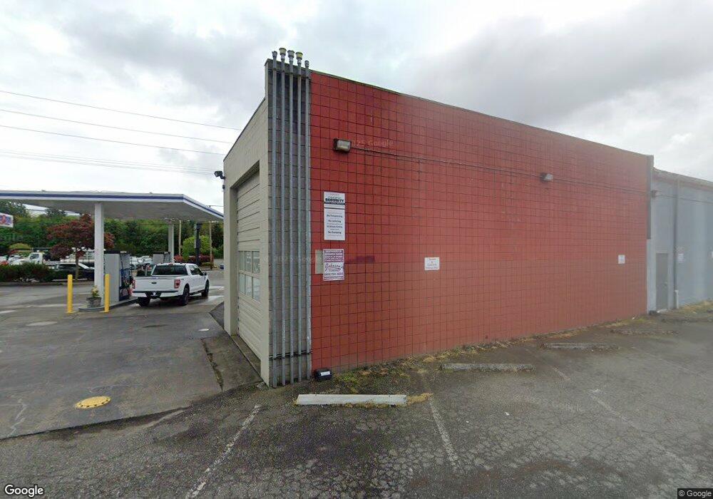
1713 N State St Bellingham, WA 98225
Sunnyland NeighborhoodEstimated Value: $322,751
--
Bed
--
Bath
1,286
Sq Ft
$251/Sq Ft
Est. Value
About This Home
This home is located at 1713 N State St, Bellingham, WA 98225 and is currently estimated at $322,751, approximately $250 per square foot. 1713 N State St is a home located in Whatcom County with nearby schools including Lowell Elementary School, Fairhaven Middle School, and Sehome High School.
Ownership History
Date
Name
Owned For
Owner Type
Purchase Details
Closed on
Sep 2, 2022
Sold by
Jake And Elwood Properties Llc
Bought by
Fahren Corporation
Current Estimated Value
Purchase Details
Closed on
Feb 20, 2015
Sold by
Yorkston Oil Co
Bought by
Jake & Elwood Properties Llc
Purchase Details
Closed on
Mar 26, 2002
Sold by
Trunkey & Sons
Bought by
Yorkston Oil Co Inc
Home Financials for this Owner
Home Financials are based on the most recent Mortgage that was taken out on this home.
Original Mortgage
$240,000
Interest Rate
6.78%
Mortgage Type
Seller Take Back
Create a Home Valuation Report for This Property
The Home Valuation Report is an in-depth analysis detailing your home's value as well as a comparison with similar homes in the area
Home Values in the Area
Average Home Value in this Area
Purchase History
| Date | Buyer | Sale Price | Title Company |
|---|---|---|---|
| Fahren Corporation | -- | -- | |
| Jake & Elwood Properties Llc | -- | None Available | |
| Yorkston Oil Co Inc | -- | First American Title Insuran |
Source: Public Records
Mortgage History
| Date | Status | Borrower | Loan Amount |
|---|---|---|---|
| Previous Owner | Yorkston Oil Co Inc | $240,000 |
Source: Public Records
Tax History Compared to Growth
Tax History
| Year | Tax Paid | Tax Assessment Tax Assessment Total Assessment is a certain percentage of the fair market value that is determined by local assessors to be the total taxable value of land and additions on the property. | Land | Improvement |
|---|---|---|---|---|
| 2024 | $1,678 | $236,678 | $153,826 | $82,852 |
| 2023 | $1,678 | $215,158 | $139,839 | $75,319 |
| 2022 | $1,519 | $208,891 | $135,766 | $73,125 |
| 2021 | $1,610 | $163,544 | $117,040 | $46,504 |
| 2020 | $1,280 | $163,544 | $117,040 | $46,504 |
| 2019 | $1,126 | $125,753 | $71,549 | $54,204 |
| 2018 | $1,233 | $110,905 | $63,101 | $47,804 |
| 2017 | $1,085 | $103,843 | $59,083 | $44,760 |
| 2016 | $1,042 | $95,491 | $54,331 | $41,160 |
| 2015 | $1,047 | $95,491 | $54,331 | $41,160 |
| 2014 | -- | $92,800 | $52,800 | $40,000 |
| 2013 | -- | $93,239 | $51,744 | $41,495 |
Source: Public Records
Map
Nearby Homes
- 2728 Humboldt St
- 2008 Iron St
- 2014 Iron St
- 2019 Cornwall Ave
- 1625 Lincoln St
- 214 Carolina St
- 2100 C St
- 2306 C St
- 1126 N Forest St
- 617 E Chestnut St
- 2430 Ellis St
- 2318 F St
- 1234 Grant St
- 1025 Granary Ave Unit 306
- 1025 Granary Ave Unit 404
- 1025 Granary Ave Unit 203
- 1025 Granary Ave Unit 505
- 1025 Granary Ave Unit 506
- 1025 Granary Ave Unit 406
- 1025 Granary Ave Unit 308
- 1801 Franklin St
- 1704 N State St
- 1811 Franklin St
- 1822 Franklin St
- 1812 N State St
- 1814 Ellis St
- 1828 Franklin St
- 0 Lot 88 Eliza Island Unit 655190
- 1822 Ellis St
- 1714 Grant St
- 1711 Ellis St
- 1711 1715 Ellis
- 1711 Ellis St Unit 1-201
- 1715 Ellis St Unit 101
- 1710 Grant St
- 1819 N State St
- 1725 Humboldt St
- 1706 Grant St
- 1717 Humboldt St
- 300 Ohio St