1713 White Point Rd Friday Harbor, WA 98250
Estimated Value: $3,932,000 - $6,525,000
4
Beds
5
Baths
5,166
Sq Ft
$1,068/Sq Ft
Est. Value
About This Home
This home is located at 1713 White Point Rd, Friday Harbor, WA 98250 and is currently estimated at $5,516,991, approximately $1,067 per square foot. 1713 White Point Rd is a home located in San Juan County with nearby schools including Friday Harbor Elementary School, Friday Harbor Middle School, and Friday Harbor High School.
Ownership History
Date
Name
Owned For
Owner Type
Purchase Details
Closed on
Oct 23, 2014
Sold by
Salt Lick Ii Llc
Bought by
Encore Family Llc
Current Estimated Value
Purchase Details
Closed on
Nov 4, 2012
Sold by
Salt Lick Llc
Bought by
Salt Lick Ii Llc
Purchase Details
Closed on
Oct 14, 2010
Sold by
Powell Lloyd W and Powell Sharon L
Bought by
Salt Lick Llc
Purchase Details
Closed on
Apr 14, 2010
Sold by
Powell Lloyd W and Powell Sharon L
Bought by
Powell Lloyd W and Powell Sharon L
Create a Home Valuation Report for This Property
The Home Valuation Report is an in-depth analysis detailing your home's value as well as a comparison with similar homes in the area
Home Values in the Area
Average Home Value in this Area
Purchase History
| Date | Buyer | Sale Price | Title Company |
|---|---|---|---|
| Encore Family Llc | $2,773,820 | Chicago Title | |
| Salt Lick Ii Llc | -- | Chicago Title | |
| Salt Lick Llc | -- | None Available | |
| Salt Lick Llc | -- | None Available | |
| Powell Lloyd W | -- | None Available |
Source: Public Records
Tax History Compared to Growth
Tax History
| Year | Tax Paid | Tax Assessment Tax Assessment Total Assessment is a certain percentage of the fair market value that is determined by local assessors to be the total taxable value of land and additions on the property. | Land | Improvement |
|---|---|---|---|---|
| 2024 | $36,650 | $6,489,350 | $1,992,160 | $4,497,190 |
| 2023 | $36,650 | $6,541,950 | $1,992,160 | $4,549,790 |
| 2022 | $29,122 | $5,042,800 | $1,422,970 | $3,619,830 |
| 2021 | $29,364 | $4,003,490 | $1,054,050 | $2,949,440 |
| 2020 | $25,014 | $4,070,060 | $1,109,220 | $2,960,840 |
| 2019 | $25,033 | $3,389,090 | $1,109,220 | $2,279,870 |
| 2018 | $24,176 | $5,583,780 | $3,403,100 | $2,180,680 |
| 2017 | $20,032 | $2,998,710 | $1,109,220 | $1,889,490 |
| 2016 | $17,451 | $2,628,900 | $1,167,600 | $1,461,300 |
| 2015 | $17,451 | $2,343,920 | $898,150 | $1,445,770 |
| 2014 | $17,451 | $2,276,070 | $898,150 | $1,377,920 |
| 2012 | $17,451 | $2,181,830 | $898,150 | $1,283,680 |
Source: Public Records
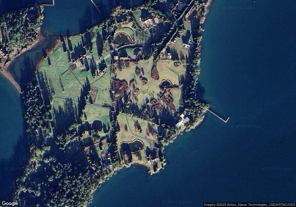
Map
Nearby Homes
- 16 Driftwood Dr
- 457 White Point Rd
- 98 Armadale Rd Unit 209
- 98 Armadale Rd Unit 215
- 258 Armadale Rd Unit 1
- 98 Bufflehead Ln
- 101 Ada's Alley
- 1555 Yacht Haven Rd
- 1062 Yacht Haven Rd
- 309 Afterglow Dr
- 295 Westcott Dr
- 120 De Haro Ln
- 92 Westcott Dr
- 73 Dogwood Ln
- 30 Smugglers Rowe
- 227 De Haro Ln
- 327 Twin Oaks Dr
- 375 De Haro Ln
- 128 Twin Oaks Dr
- 0 Afterglow Dr Unit NWM1912159
- 1733 White Point Rd
- 1577 White Point Rd
- 42 Saltwater Ln
- 1829 White Point Rd
- 1871 White Point Rd
- 28 Saltwater Ln
- 1576 White Point Rd
- 1923 White Point Rd
- 114 Saltwater Ln
- 63 Seal Rock Ln
- 1945 White Point Rd
- 1920 White Point Rd
- 2047 White Point Rd
- 296 Seal Rock Ln
- 423 Shorett Dr
- 235 Seal Rock Ln
- 249 Seal Rock Ln
- 912 Armadale Rd
- 2069 White Point Rd
- 4 Armadale Rd