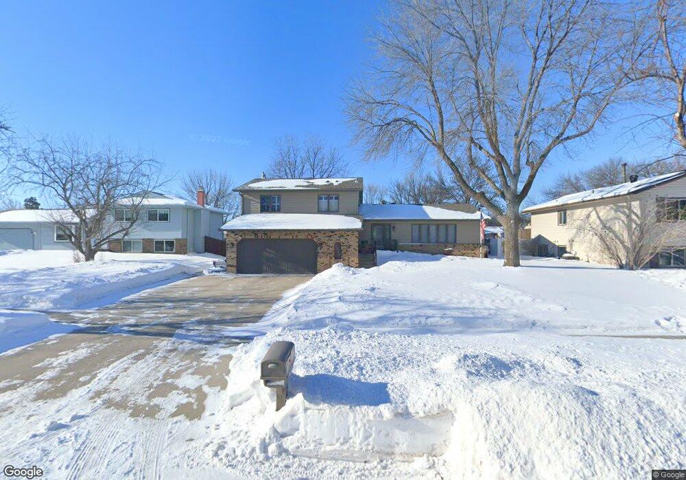
1713 Whitestone Cir S Fargo, ND 58103
South High NeighborhoodEstimated Value: $358,000 - $402,000
--
Bed
--
Bath
2,350
Sq Ft
$158/Sq Ft
Est. Value
About This Home
This home is located at 1713 Whitestone Cir S, Fargo, ND 58103 and is currently estimated at $370,923, approximately $157 per square foot. 1713 Whitestone Cir S is a home located in Cass County with nearby schools including Lewis & Clark Elementary School, Carl Ben Eielson Middle School, and South High School.
Ownership History
Date
Name
Owned For
Owner Type
Purchase Details
Closed on
Jun 8, 2021
Sold by
Meronuck Donald L and Meronuck Janet G
Bought by
Meronuck Donald and Meronuck Janet
Current Estimated Value
Create a Home Valuation Report for This Property
The Home Valuation Report is an in-depth analysis detailing your home's value as well as a comparison with similar homes in the area
Home Values in the Area
Average Home Value in this Area
Purchase History
| Date | Buyer | Sale Price | Title Company |
|---|---|---|---|
| Meronuck Donald | -- | None Available |
Source: Public Records
Tax History Compared to Growth
Tax History
| Year | Tax Paid | Tax Assessment Tax Assessment Total Assessment is a certain percentage of the fair market value that is determined by local assessors to be the total taxable value of land and additions on the property. | Land | Improvement |
|---|---|---|---|---|
| 2024 | $5,078 | $175,450 | $34,950 | $140,500 |
| 2023 | $4,588 | $158,050 | $34,950 | $123,100 |
| 2022 | $4,395 | $147,700 | $34,950 | $112,750 |
| 2021 | $3,676 | $130,450 | $35,900 | $94,550 |
| 2020 | $3,631 | $130,450 | $35,900 | $94,550 |
| 2019 | $3,634 | $130,450 | $22,450 | $108,000 |
| 2018 | $3,589 | $130,450 | $22,450 | $108,000 |
| 2017 | $3,455 | $126,650 | $22,450 | $104,200 |
| 2016 | $2,972 | $122,950 | $22,450 | $100,500 |
| 2015 | $2,847 | $110,600 | $15,250 | $95,350 |
| 2014 | $2,659 | $100,550 | $15,250 | $85,300 |
| 2013 | $2,637 | $100,550 | $15,250 | $85,300 |
Source: Public Records
Map
Nearby Homes
- 1725 Whitestone Cir S
- 1737 Park Blvd S
- 2202 15th Ave S
- 2402 N Flickertail Dr S Unit 1
- 2326 20th Ave S Unit 9
- 2320 20th Ave S Unit 7
- 1943 19th St S
- 1917 16 1 2 St S
- 1407 17th St S
- 1545 15th St S
- 1402 E Gateway Cir S Unit M
- 1718 15th St S
- 2013 13th Ave S
- 2009 13th Ave S
- 21 Birch Ln S
- 2301 23rd Ave S
- 1709 13th Ave S
- 1550 14 1 2 St S
- 1301 16 1 2 St S
- 2402 18th St S Unit 3
- 1709 Whitestone Cir S
- 1719 Whitestone Cir S
- 1714 23rd St S
- 1708 23rd St S
- 1701 Whitestone Cir S
- 1720 23rd St S
- 1702 23rd St S
- 1714 Whitestone Cir S
- 1726 23rd St S
- 1708 Whitestone Cir S
- 1720 Whitestone Cir S
- 1731 Whitestone Cc S
- 1731 Whitestone Cir S
- 1726 Whitestone Cir S
- 1732 23rd St S
- 1738 Whitestone Cir S
- 1713 Park Blvd S
- 1713 23rd St S
- 1707 23rd St S
- 1738 23rd St S