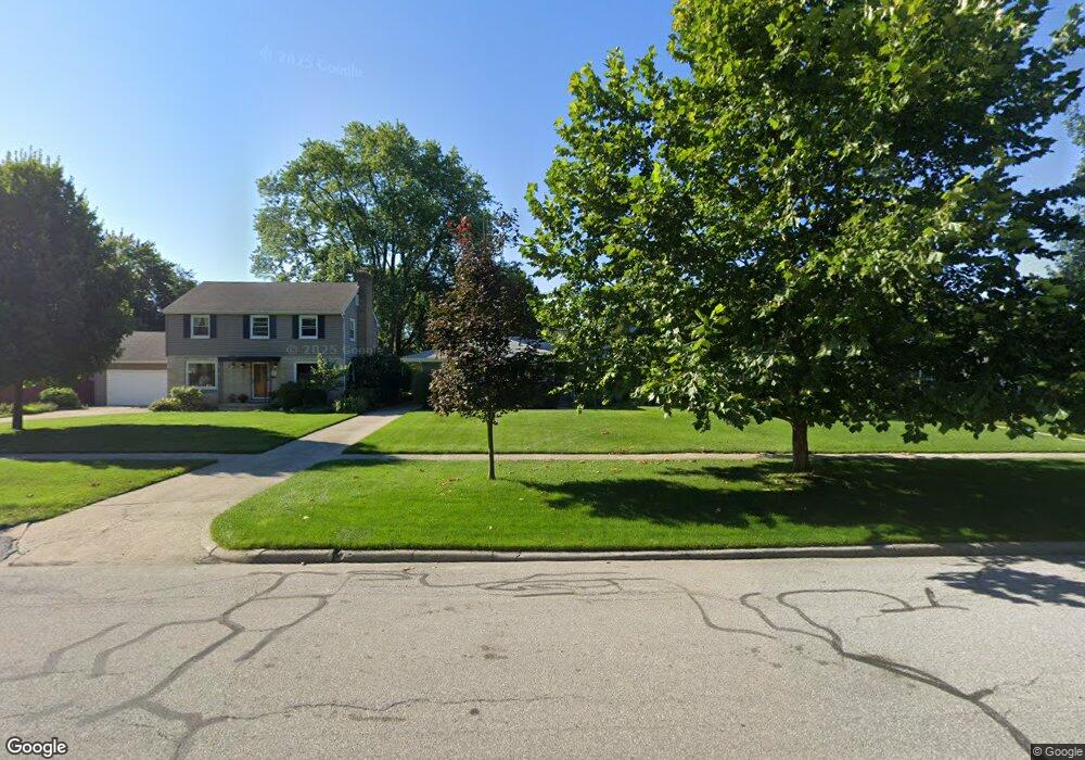
1714 Bader Ave South Bend, IN 46617
Northeast South Bend NeighborhoodEstimated Value: $292,000 - $355,000
3
Beds
2
Baths
1,813
Sq Ft
$178/Sq Ft
Est. Value
About This Home
This home is located at 1714 Bader Ave, South Bend, IN 46617 and is currently estimated at $323,245, approximately $178 per square foot. 1714 Bader Ave is a home located in St. Joseph County with nearby schools including Nuner Fine Arts Academy, Clay Intermediate Center, and McKinley Elementary School.
Ownership History
Date
Name
Owned For
Owner Type
Purchase Details
Closed on
Mar 2, 2005
Sold by
Krupp Lloyd M
Bought by
Oleary Kara M
Current Estimated Value
Home Financials for this Owner
Home Financials are based on the most recent Mortgage that was taken out on this home.
Original Mortgage
$138,800
Outstanding Balance
$70,834
Interest Rate
5.71%
Mortgage Type
New Conventional
Estimated Equity
$252,411
Create a Home Valuation Report for This Property
The Home Valuation Report is an in-depth analysis detailing your home's value as well as a comparison with similar homes in the area
Home Values in the Area
Average Home Value in this Area
Purchase History
| Date | Buyer | Sale Price | Title Company |
|---|---|---|---|
| Oleary Kara M | -- | None Available |
Source: Public Records
Mortgage History
| Date | Status | Borrower | Loan Amount |
|---|---|---|---|
| Open | Oleary Kara M | $138,800 |
Source: Public Records
Tax History Compared to Growth
Tax History
| Year | Tax Paid | Tax Assessment Tax Assessment Total Assessment is a certain percentage of the fair market value that is determined by local assessors to be the total taxable value of land and additions on the property. | Land | Improvement |
|---|---|---|---|---|
| 2024 | $3,232 | $288,800 | $37,600 | $251,200 |
| 2023 | $3,189 | $268,200 | $37,600 | $230,600 |
| 2022 | $2,869 | $238,000 | $37,600 | $200,400 |
| 2021 | $2,572 | $210,900 | $47,600 | $163,300 |
| 2020 | $2,217 | $182,800 | $41,300 | $141,500 |
| 2019 | $1,937 | $189,400 | $38,600 | $150,800 |
| 2018 | $2,234 | $207,300 | $34,700 | $172,600 |
| 2017 | $2,137 | $170,500 | $29,200 | $141,300 |
| 2016 | $2,179 | $170,500 | $29,200 | $141,300 |
| 2014 | $2,235 | $176,300 | $29,200 | $147,100 |
Source: Public Records
Map
Nearby Homes
- 606 N Twyckenham Dr
- 2007 Cedar St
- 1519 Mckinley Ave
- 1454 Sorin St
- 1522 Mckinley Ave
- 1123 N Twyckenham Dr
- 735 N Twyckenham Dr
- 231 N Ironwood Dr
- 905 White Oak Dr
- 1005 White Oak Dr
- 1303 Sorin St
- 1229 Miner St
- 1222 Miner St
- 222 N Tuxedo Dr
- 302 Walsh St
- 1031 N Ironwood Dr
- 1253 Corby Blvd Unit A
- 1253 Corby Blvd Unit B
- 2521 Club Dr
- 509 N Arthur St
- 1718 Bader Ave
- 1710 Bader Ave
- 1704 Bader Ave
- 1722 Bader Ave
- 1709 Cedar St
- 1715 Cedar St
- 1705 Cedar St
- 1717 Cedar St
- 1726 Bader Ave
- 1701 Cedar St
- 1721 Cedar St
- 1725 Cedar St
- 519 N Greenlawn Ave
- 521 N Esther St
- 1711 Bader Ave
- 1703 Bader Ave
- 1715 Bader Ave
- 1625 Cedar St
- 1723 Bader Ave
- 505 N Greenlawn Ave