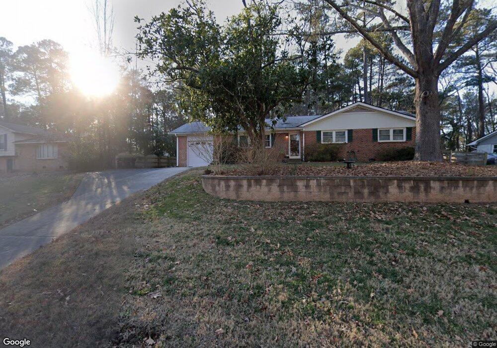
1714 Euclid Rd Durham, NC 27713
South Durham NeighborhoodEstimated Value: $374,000 - $413,000
3
Beds
2
Baths
2,040
Sq Ft
$193/Sq Ft
Est. Value
About This Home
This home is located at 1714 Euclid Rd, Durham, NC 27713 and is currently estimated at $393,284, approximately $192 per square foot. 1714 Euclid Rd is a home located in Durham County with nearby schools including Parkwood Elementary, Lowe's Grove Middle, and Hillside High School.
Ownership History
Date
Name
Owned For
Owner Type
Purchase Details
Closed on
Jul 15, 2013
Sold by
Ehrisman Israel D
Bought by
Hicks Leslie C
Current Estimated Value
Home Financials for this Owner
Home Financials are based on the most recent Mortgage that was taken out on this home.
Original Mortgage
$132,000
Outstanding Balance
$95,943
Interest Rate
3.91%
Mortgage Type
New Conventional
Estimated Equity
$297,341
Purchase Details
Closed on
Jun 29, 1999
Sold by
Hunt Mary K
Bought by
Ehrisman Israel D
Create a Home Valuation Report for This Property
The Home Valuation Report is an in-depth analysis detailing your home's value as well as a comparison with similar homes in the area
Home Values in the Area
Average Home Value in this Area
Purchase History
| Date | Buyer | Sale Price | Title Company |
|---|---|---|---|
| Hicks Leslie C | $167,000 | None Available | |
| Ehrisman Israel D | $130,000 | -- |
Source: Public Records
Mortgage History
| Date | Status | Borrower | Loan Amount |
|---|---|---|---|
| Open | Hicks Leslie C | $132,000 |
Source: Public Records
Tax History
| Year | Tax Paid | Tax Assessment Tax Assessment Total Assessment is a certain percentage of the fair market value that is determined by local assessors to be the total taxable value of land and additions on the property. | Land | Improvement |
|---|---|---|---|---|
| 2025 | $3,750 | $378,267 | $133,000 | $245,267 |
| 2024 | $3,227 | $231,311 | $40,020 | $191,291 |
| 2023 | $3,030 | $231,311 | $40,020 | $191,291 |
| 2022 | $2,961 | $231,311 | $40,020 | $191,291 |
| 2021 | $2,947 | $231,311 | $40,020 | $191,291 |
| 2020 | $2,877 | $231,311 | $40,020 | $191,291 |
| 2019 | $2,877 | $231,311 | $40,020 | $191,291 |
| 2018 | $2,257 | $166,407 | $36,685 | $129,722 |
| 2017 | $2,241 | $166,407 | $36,685 | $129,722 |
| 2016 | $2,165 | $166,407 | $36,685 | $129,722 |
| 2015 | $2,137 | $154,399 | $30,446 | $123,953 |
| 2014 | $2,317 | $167,372 | $30,446 | $136,926 |
Source: Public Records
Map
Nearby Homes
- 1526 Euclid Rd
- 1509 Clermont Rd Unit T27
- 1509 Clermont Rd Unit T24
- 4610 Revere Rd
- 1621 Clermont Rd
- 1446 Clermont Rd
- 1304 Seaton Rd Unit 2
- 1304 Seaton Rd Unit 30
- 1215 Lotus Lilly Dr
- 1203 Lotus Lilly Dr
- 1106 Lotus Lilly Dr
- 1027 Orchard Grass Rd
- 1022 Orchard Grass Rd
- 43 Redbud Ct
- 111 Wenonah Way
- 5308 Mccormick Rd
- 1039 Laceflower Dr
- 1142 Metropolitan Dr
- 1101 Rocketcress Dr
- 1049 Laceflower Dr
- 1716 Euclid Rd
- 1712 Euclid Rd
- 1718 Euclid Rd
- 1710 Euclid Rd
- 1715 Euclid Rd
- 1717 Euclid Rd
- 1713 Euclid Rd
- 1719 Euclid Rd
- 1706 Euclid Rd
- 1720 Euclid Rd
- 1711 Euclid Rd
- 107 Bradley Cir
- 1721 Euclid Rd
- 105 Bradley Cir
- 4705 Brentwood Rd
- 4707 Brentwood Rd
- 109 Bradley Cir
- 1722 Euclid Rd
- 4709 Brentwood Rd
- 1702 Euclid Rd
Your Personal Tour Guide
Ask me questions while you tour the home.