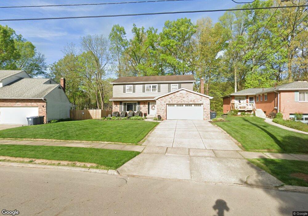
1714 Karg Dr Akron, OH 44313
Northwest Akron NeighborhoodEstimated Value: $225,000 - $274,000
4
Beds
3
Baths
2,076
Sq Ft
$124/Sq Ft
Est. Value
About This Home
This home is located at 1714 Karg Dr, Akron, OH 44313 and is currently estimated at $258,402, approximately $124 per square foot. 1714 Karg Dr is a home located in Summit County with nearby schools including Case Community Learning Center, Summit Academy School, and Our Lady Of The Elms Elementary School.
Ownership History
Date
Name
Owned For
Owner Type
Purchase Details
Closed on
Dec 8, 1999
Sold by
Kissling Patricia L
Bought by
Rodgers Anthony W and Rodgers Patricia S
Current Estimated Value
Home Financials for this Owner
Home Financials are based on the most recent Mortgage that was taken out on this home.
Original Mortgage
$128,896
Interest Rate
8.02%
Create a Home Valuation Report for This Property
The Home Valuation Report is an in-depth analysis detailing your home's value as well as a comparison with similar homes in the area
Home Values in the Area
Average Home Value in this Area
Purchase History
| Date | Buyer | Sale Price | Title Company |
|---|---|---|---|
| Rodgers Anthony W | $133,500 | Miller Examining Service Inc |
Source: Public Records
Mortgage History
| Date | Status | Borrower | Loan Amount |
|---|---|---|---|
| Closed | Rodgers Anthony W | $128,896 |
Source: Public Records
Tax History
| Year | Tax Paid | Tax Assessment Tax Assessment Total Assessment is a certain percentage of the fair market value that is determined by local assessors to be the total taxable value of land and additions on the property. | Land | Improvement |
|---|---|---|---|---|
| 2024 | $3,625 | $78,149 | $13,969 | $64,180 |
| 2023 | $3,625 | $78,149 | $13,969 | $64,180 |
| 2022 | $3,185 | $56,221 | $10,049 | $46,172 |
| 2021 | $3,188 | $56,221 | $10,049 | $46,172 |
| 2020 | $3,140 | $56,220 | $10,050 | $46,170 |
| 2019 | $2,364 | $40,880 | $9,550 | $31,330 |
| 2018 | $2,332 | $40,880 | $9,550 | $31,330 |
| 2017 | $2,369 | $40,880 | $9,550 | $31,330 |
| 2016 | $2,371 | $40,880 | $9,550 | $31,330 |
| 2015 | $2,369 | $40,880 | $9,550 | $31,330 |
| 2014 | $2,350 | $40,880 | $9,550 | $31,330 |
| 2013 | $2,318 | $41,110 | $9,550 | $31,560 |
Source: Public Records
Map
Nearby Homes
- 1700 Karg Dr
- 1804-1808 Cromwell Dr
- 635 N Hawkins Ave
- 1821 Ganyard Rd
- 469 Garnette Rd
- 508 Clearbrook Dr
- 394 N Hawkins Ave
- 2330 Thurmont Rd
- 1612 Fairfax Rd
- 1606 Fairfax Rd
- 302 N Pershing Ave
- 1639 Liberty Dr
- 1491 Rowles Dr
- 1976 Stabler Rd
- 1332 Shanabrook Dr
- 1054 Karen Dr
- 1057 Kevin Dr
- 483 Parkside Dr
- 585 Hampton Ridge Dr Unit EE585
- 637 Hunters Trail Unit 154
Your Personal Tour Guide
Ask me questions while you tour the home.