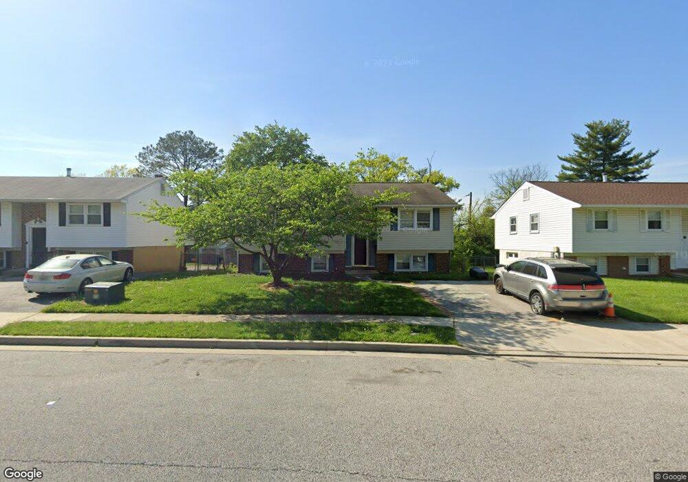
1714 Lomax Rd Windsor Mill, MD 21244
Estimated Value: $321,537 - $535,000
Studio
2
Baths
1,108
Sq Ft
$354/Sq Ft
Est. Value
About This Home
This home is located at 1714 Lomax Rd, Windsor Mill, MD 21244 and is currently estimated at $392,384, approximately $354 per square foot. 1714 Lomax Rd is a home located in Baltimore County with nearby schools including Chadwick Elementary School, Southwest Academy, and Woodlawn High School.
Ownership History
Date
Name
Owned For
Owner Type
Purchase Details
Closed on
Jan 9, 2020
Sold by
Belnavis Jejjinfer R
Bought by
Latoya Johnson Sade Lashae
Current Estimated Value
Purchase Details
Closed on
Apr 3, 1995
Sold by
Parton Robert S
Bought by
Belnavis Selvin
Home Financials for this Owner
Home Financials are based on the most recent Mortgage that was taken out on this home.
Original Mortgage
$117,000
Interest Rate
8.8%
Mortgage Type
Purchase Money Mortgage
Create a Home Valuation Report for This Property
The Home Valuation Report is an in-depth analysis detailing your home's value as well as a comparison with similar homes in the area
Home Values in the Area
Average Home Value in this Area
Purchase History
We collect this data history from publicly available records. To have your information removed, we recommend requesting removal directly through your county’s website.
| Date | Buyer | Sale Price | Title Company |
|---|---|---|---|
| Latoya Johnson Sade Lashae | -- | Accommodation | |
| Belnavis Selvin | $117,000 | -- |
Source: Public Records
Mortgage History
We collect this data history from publicly available records. To have your information removed, we recommend requesting removal directly through your county’s website.
| Date | Status | Borrower | Loan Amount |
|---|---|---|---|
| Previous Owner | Belnavis Selvin | $117,000 |
Source: Public Records
Tax History
| Year | Tax Paid | Tax Assessment Tax Assessment Total Assessment is a certain percentage of the fair market value that is determined by local assessors to be the total taxable value of land and additions on the property. | Land | Improvement |
|---|---|---|---|---|
| 2025 | $4,677 | $298,900 | -- | -- |
| 2024 | $4,677 | $283,200 | $91,200 | $192,000 |
| 2023 | $2,285 | $272,500 | $0 | $0 |
| 2022 | $4,352 | $261,800 | $0 | $0 |
| 2021 | $2,930 | $251,100 | $91,200 | $159,900 |
| 2020 | $2,751 | $227,000 | $0 | $0 |
| 2019 | $2,459 | $202,900 | $0 | $0 |
| 2018 | $60 | $178,800 | $59,200 | $119,600 |
| 2017 | $77 | $171,900 | $0 | $0 |
| 2016 | $30 | $165,000 | $0 | $0 |
| 2015 | $30 | $158,100 | $0 | $0 |
| 2014 | $30 | $158,100 | $0 | $0 |
Source: Public Records
Map
Nearby Homes
- 1912 Greengage Rd
- 7 Briarleaf Ct
- 2024 Kennicott Rd
- 7 Rocky Brook Ct
- 1614 Winding Brook Way
- 8 Randolph Springs Ct
- 11 Randolph Springs Ct
- 7437 Inwood Ave
- 1508 Touchard Dr
- 7130 Dogwood Rd
- 10 Iron Bolt Ct
- 63 Tallow Ct
- 132 Kettle Ct
- 6807 Upper Mills Cir
- 8 Middleview Ct
- 7712 Johnnycake Rd
- 1828 Oxbow Rd
- 2313 Kevsway Ct
- 7722 Johnnycake Rd
- 7607 River Reach Rd
- 1716 Lomax Rd
- 1712 Lomax Rd
- 1718 Lomax Rd
- 1710 Lomax Rd
- 7204 Kennebunk Rd
- 7200 Kennebunk Rd
- 1 Berlee Ct
- 1708 Lomax Rd
- 2 Berlee Ct
- 1816 Newcastle Rd
- 1814 Newcastle Rd
- 1909 Brookdale Rd
- 1818 Newcastle Rd
- 1907 Brookdale Rd
- 7201 Kennebunk Rd
- 3 Berlee Ct
- 2 Trueman Ct
- 1706 Lomax Rd
- 7206 Kennebunk Rd
- 1905 Brookdale Rd
Your Personal Tour Guide
Ask me questions while you tour the home.