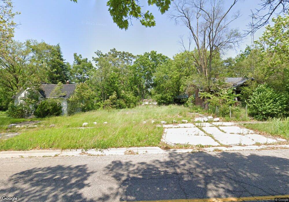
1714 Mackin Rd Flint, MI 48504
Metawanne Hills NeighborhoodEstimated Value: $23,000 - $79,044
3
Beds
1
Bath
1,623
Sq Ft
$30/Sq Ft
Est. Value
About This Home
This home is located at 1714 Mackin Rd, Flint, MI 48504 and is currently estimated at $48,348, approximately $29 per square foot. 1714 Mackin Rd is a home located in Genesee County with nearby schools including Brownell STEM Academy, St John Vianney Catholic School, and St. Paul Lutheran School.
Ownership History
Date
Name
Owned For
Owner Type
Purchase Details
Closed on
Dec 20, 2012
Sold by
Cherry Deborah L
Bought by
Genesee County Land Bank
Current Estimated Value
Purchase Details
Closed on
Nov 7, 2007
Sold by
The Genesee County Land Bank Authority
Bought by
Duran Antonio
Home Financials for this Owner
Home Financials are based on the most recent Mortgage that was taken out on this home.
Original Mortgage
$9,500
Interest Rate
6.33%
Mortgage Type
Seller Take Back
Purchase Details
Closed on
Feb 22, 2007
Sold by
Kildee Daniel T
Bought by
Genesee County Land Bank Authority
Purchase Details
Closed on
Aug 17, 2001
Sold by
Carter Alan D
Bought by
King Arien
Purchase Details
Closed on
Feb 12, 2001
Sold by
Hud
Bought by
Carter Alan D
Create a Home Valuation Report for This Property
The Home Valuation Report is an in-depth analysis detailing your home's value as well as a comparison with similar homes in the area
Home Values in the Area
Average Home Value in this Area
Purchase History
| Date | Buyer | Sale Price | Title Company |
|---|---|---|---|
| Genesee County Land Bank | -- | None Available | |
| Duran Antonio | $9,500 | None Available | |
| Genesee County Land Bank Authority | $2,347 | None Available | |
| King Arien | $59,500 | -- | |
| Carter Alan D | $17,500 | Sargents Title Company |
Source: Public Records
Mortgage History
| Date | Status | Borrower | Loan Amount |
|---|---|---|---|
| Previous Owner | Duran Antonio | $9,500 |
Source: Public Records
Tax History Compared to Growth
Tax History
| Year | Tax Paid | Tax Assessment Tax Assessment Total Assessment is a certain percentage of the fair market value that is determined by local assessors to be the total taxable value of land and additions on the property. | Land | Improvement |
|---|---|---|---|---|
| 2025 | -- | $0 | $0 | $0 |
| 2024 | -- | $0 | $0 | $0 |
| 2023 | -- | $0 | $0 | $0 |
| 2022 | $0 | $0 | $0 | $0 |
| 2021 | $0 | $0 | $0 | $0 |
| 2020 | $0 | $0 | $0 | $0 |
| 2019 | $0 | $0 | $0 | $0 |
| 2018 | $0 | $0 | $0 | $0 |
| 2017 | $0 | $0 | $0 | $0 |
| 2016 | $0 | $0 | $0 | $0 |
| 2015 | -- | $0 | $0 | $0 |
| 2014 | -- | $0 | $0 | $0 |
| 2012 | -- | $8,400 | $0 | $0 |
Source: Public Records
Map
Nearby Homes
- 1802 Mackin Rd
- 1717 Wolcott St
- 2001 Mackin Rd
- 1813 Stevenson St
- 1409 Prospect St
- 2410 Sloan St
- 2302 Mallery St
- 1017 Perry St
- 1645 Seminole St
- 2425 Clement St
- 1016 Dupont St
- 2606 Stevenson St
- 913 Perry St
- 2424 Begole St
- 2526 Concord St
- 820 N Chevrolet Ave
- 1220 Forest Hill Ave
- 2612 Concord St
- 227 W 5th Ave Unit 3
- 2622 Concord St