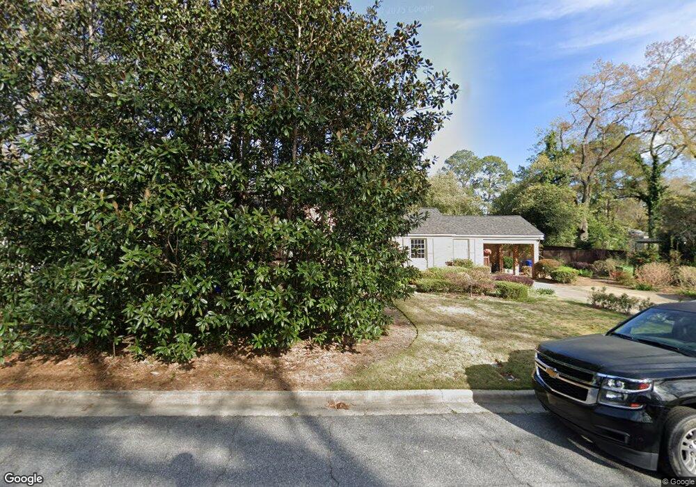
1714 N Dixon Dr Columbus, GA 31906
Wyntonn Grove NeighborhoodEstimated Value: $248,345 - $316,000
3
Beds
3
Baths
1,911
Sq Ft
$152/Sq Ft
Est. Value
About This Home
This home is located at 1714 N Dixon Dr, Columbus, GA 31906 and is currently estimated at $291,336, approximately $152 per square foot. 1714 N Dixon Dr is a home located in Muscogee County with nearby schools including Richards Middle School, Hardaway High School, and Wynnton Elementary School.
Ownership History
Date
Name
Owned For
Owner Type
Purchase Details
Closed on
Jul 18, 2014
Sold by
Greene William N
Bought by
Gehman Meredith and Gehman Nathan
Current Estimated Value
Home Financials for this Owner
Home Financials are based on the most recent Mortgage that was taken out on this home.
Original Mortgage
$146,300
Outstanding Balance
$111,770
Interest Rate
4.24%
Mortgage Type
New Conventional
Estimated Equity
$179,566
Create a Home Valuation Report for This Property
The Home Valuation Report is an in-depth analysis detailing your home's value as well as a comparison with similar homes in the area
Home Values in the Area
Average Home Value in this Area
Purchase History
| Date | Buyer | Sale Price | Title Company |
|---|---|---|---|
| Gehman Meredith | -- | -- | |
| Gehman Meredith | $154,000 | -- |
Source: Public Records
Mortgage History
| Date | Status | Borrower | Loan Amount |
|---|---|---|---|
| Open | Gehman Meredith | $146,300 | |
| Closed | Gehman Meredith | $146,300 |
Source: Public Records
Tax History Compared to Growth
Tax History
| Year | Tax Paid | Tax Assessment Tax Assessment Total Assessment is a certain percentage of the fair market value that is determined by local assessors to be the total taxable value of land and additions on the property. | Land | Improvement |
|---|---|---|---|---|
| 2025 | $190 | $85,272 | $17,768 | $67,504 |
| 2024 | $1,894 | $85,272 | $17,768 | $67,504 |
| 2023 | $1,212 | $85,272 | $17,768 | $67,504 |
| 2022 | $1,975 | $75,520 | $17,768 | $57,752 |
| 2021 | $1,968 | $64,920 | $17,768 | $47,152 |
| 2020 | $1,969 | $64,920 | $17,768 | $47,152 |
| 2019 | $1,977 | $64,920 | $17,768 | $47,152 |
| 2018 | $1,977 | $64,920 | $17,768 | $47,152 |
| 2017 | $1,985 | $64,920 | $17,768 | $47,152 |
| 2016 | $1,994 | $61,600 | $5,750 | $55,850 |
| 2015 | $1,997 | $61,600 | $5,750 | $55,850 |
| 2014 | $1,105 | $66,784 | $5,750 | $61,034 |
| 2013 | -- | $66,784 | $5,750 | $61,034 |
Source: Public Records
Map
Nearby Homes