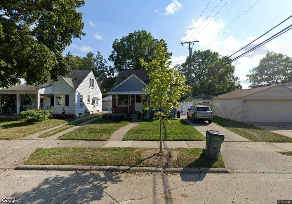
1714 Roszel St Unit Bldg-Unit Royal Oak, MI 48067
Estimated Value: $289,000 - $326,000
3
Beds
1
Bath
1,014
Sq Ft
$309/Sq Ft
Est. Value
About This Home
This home is located at 1714 Roszel St Unit Bldg-Unit, Royal Oak, MI 48067 and is currently estimated at $313,649, approximately $309 per square foot. 1714 Roszel St Unit Bldg-Unit is a home located in Oakland County with nearby schools including Keller Elementary, Royal Oak Middle School, and Royal Oak High School.
Ownership History
Date
Name
Owned For
Owner Type
Purchase Details
Closed on
Mar 10, 2021
Sold by
Bacon Jillian
Bought by
Jab Roszel Llc
Current Estimated Value
Purchase Details
Closed on
Jan 12, 2018
Sold by
Langford Kevin
Bought by
Bacon Jillian
Purchase Details
Closed on
Mar 17, 2004
Sold by
Lindstrom Harold R and Lindstrom Martha G
Bought by
Langford Kevin
Home Financials for this Owner
Home Financials are based on the most recent Mortgage that was taken out on this home.
Original Mortgage
$124,000
Interest Rate
3.75%
Mortgage Type
Purchase Money Mortgage
Create a Home Valuation Report for This Property
The Home Valuation Report is an in-depth analysis detailing your home's value as well as a comparison with similar homes in the area
Home Values in the Area
Average Home Value in this Area
Purchase History
| Date | Buyer | Sale Price | Title Company |
|---|---|---|---|
| Jab Roszel Llc | -- | None Available | |
| Bacon Jillian | $205,000 | Sterling Title Agency | |
| Langford Kevin | $155,000 | The Title Company Of Mi |
Source: Public Records
Mortgage History
| Date | Status | Borrower | Loan Amount |
|---|---|---|---|
| Previous Owner | Langford Kevin | $124,000 |
Source: Public Records
Tax History Compared to Growth
Tax History
| Year | Tax Paid | Tax Assessment Tax Assessment Total Assessment is a certain percentage of the fair market value that is determined by local assessors to be the total taxable value of land and additions on the property. | Land | Improvement |
|---|---|---|---|---|
| 2024 | $5,024 | $123,630 | $0 | $0 |
| 2022 | $5,479 | $109,440 | $0 | $0 |
| 2020 | $5,049 | $98,150 | $0 | $0 |
| 2018 | $5,479 | $87,120 | $0 | $0 |
| 2017 | $3,699 | $87,120 | $0 | $0 |
| 2015 | -- | $73,550 | $0 | $0 |
| 2014 | -- | $65,430 | $0 | $0 |
| 2011 | -- | $62,510 | $0 | $0 |
Source: Public Records
Map
Nearby Homes
- 400 N Wilson Ave
- 303 N Dorchester Ave
- 622 N Wilson Ave
- 710 N Campbell Rd
- 305 N Kenwood Ave
- 306 N Kenwood Ave
- 800 N Edison Ave
- 812 N Edison Ave
- 409 N Vermont Ave
- 800 N Dorchester Ave
- 316 N Edgeworth Ave
- 627 Symes Ave
- 117 N Wilson Ave
- 905 N Wilson Ave
- 917 N Edison Ave
- 116 S Kenwood Ave
- 131 S Dorchester Ave
- 2214 Baxter Ave
- 202 S Campbell Rd
- 415 N Stephenson Hwy
- 1714 Roszel St
- 1718 Roszel St
- 414 N Campbell Rd
- 1722 Roszel St
- 410 N Campbell Rd
- 1715 Taylor Ave
- 1726 Roszel St
- 406 N Campbell Rd Unit Bldg-Unit
- 1719 Taylor Ave
- 1705 Roszel St
- 1721 Taylor Ave
- 1719 Roszel St
- 400 N Campbell Rd
- 1800 Roszel St
- LOT 7 Taylor Ave
- 1723 Taylor Ave
- 1725 Roszel St
- 510 N Campbell Rd
- 510 N Campbell Rd
- 1801 Roszel St