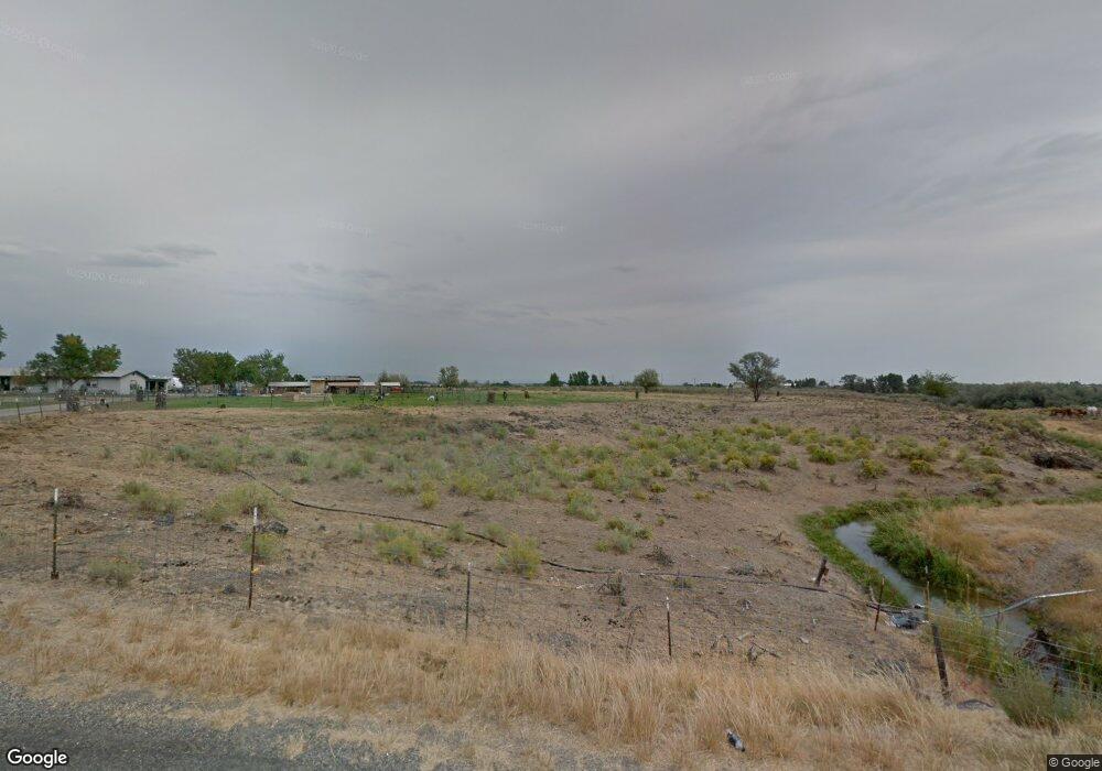
1714 S 1625 E Gooding, ID 83330
Estimated Value: $437,731 - $599,000
4
Beds
3
Baths
2,601
Sq Ft
$211/Sq Ft
Est. Value
About This Home
This home is located at 1714 S 1625 E, Gooding, ID 83330 and is currently estimated at $548,183, approximately $210 per square foot. 1714 S 1625 E is a home located in Gooding County with nearby schools including Gooding Elementary School, Gooding Middle School, and Gooding High School.
Ownership History
Date
Name
Owned For
Owner Type
Purchase Details
Closed on
Aug 22, 2006
Sold by
Peterson Max Robert and Peterson Diane Joyce
Bought by
Asmussen Dennis H and Asmussen Debbra C
Current Estimated Value
Home Financials for this Owner
Home Financials are based on the most recent Mortgage that was taken out on this home.
Original Mortgage
$175,000
Outstanding Balance
$104,523
Interest Rate
6.76%
Mortgage Type
New Conventional
Estimated Equity
$443,660
Create a Home Valuation Report for This Property
The Home Valuation Report is an in-depth analysis detailing your home's value as well as a comparison with similar homes in the area
Purchase History
| Date | Buyer | Sale Price | Title Company |
|---|---|---|---|
| Asmussen Dennis H | -- | -- |
Source: Public Records
Mortgage History
| Date | Status | Borrower | Loan Amount |
|---|---|---|---|
| Open | Asmussen Dennis H | $175,000 |
Source: Public Records
Tax History
| Year | Tax Paid | Tax Assessment Tax Assessment Total Assessment is a certain percentage of the fair market value that is determined by local assessors to be the total taxable value of land and additions on the property. | Land | Improvement |
|---|---|---|---|---|
| 2025 | $96 | $307,262 | $68,759 | $238,503 |
| 2024 | $181 | $280,372 | $63,065 | $217,307 |
| 2023 | $105 | $280,061 | $62,754 | $217,307 |
| 2022 | $1,173 | $280,061 | $62,754 | $217,307 |
| 2021 | $1,094 | $248,111 | $41,152 | $206,959 |
| 2020 | $950 | $186,577 | $29,452 | $157,125 |
| 2019 | $956 | $171,144 | $29,452 | $141,692 |
| 2018 | $831 | $154,772 | $22,400 | $132,372 |
| 2017 | $783 | $0 | $0 | $0 |
| 2016 | $774 | $0 | $0 | $0 |
| 2015 | $814 | $0 | $0 | $0 |
| 2014 | -- | $0 | $0 | $0 |
| 2011 | -- | $0 | $0 | $0 |
Source: Public Records
Map
Nearby Homes
Your Personal Tour Guide
Ask me questions while you tour the home.