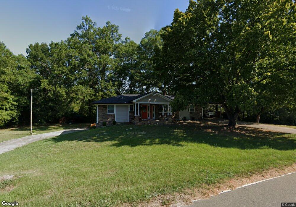
1714 Sherron Rd Durham, NC 27703
Eastern Durham NeighborhoodEstimated Value: $376,426 - $432,000
3
Beds
2
Baths
1,534
Sq Ft
$269/Sq Ft
Est. Value
About This Home
This home is located at 1714 Sherron Rd, Durham, NC 27703 and is currently estimated at $412,857, approximately $269 per square foot. 1714 Sherron Rd is a home located in Durham County with nearby schools including Spring Valley Elementary School, John W Neal Middle School, and Southern School of Energy & Sustainability.
Ownership History
Date
Name
Owned For
Owner Type
Purchase Details
Closed on
Sep 18, 2017
Sold by
Green River Properties Inc
Bought by
Morales Ricardo Acevedo
Current Estimated Value
Home Financials for this Owner
Home Financials are based on the most recent Mortgage that was taken out on this home.
Original Mortgage
$220,400
Outstanding Balance
$192,434
Interest Rate
5.75%
Mortgage Type
Adjustable Rate Mortgage/ARM
Estimated Equity
$220,423
Purchase Details
Closed on
Aug 25, 2016
Sold by
Strickland Nonie Estes Est
Bought by
Green River Properties Inc
Create a Home Valuation Report for This Property
The Home Valuation Report is an in-depth analysis detailing your home's value as well as a comparison with similar homes in the area
Home Values in the Area
Average Home Value in this Area
Purchase History
| Date | Buyer | Sale Price | Title Company |
|---|---|---|---|
| Morales Ricardo Acevedo | $245,000 | None Available | |
| Green River Properties Inc | $85,000 | -- |
Source: Public Records
Mortgage History
| Date | Status | Borrower | Loan Amount |
|---|---|---|---|
| Open | Morales Ricardo Acevedo | $220,400 |
Source: Public Records
Tax History
| Year | Tax Paid | Tax Assessment Tax Assessment Total Assessment is a certain percentage of the fair market value that is determined by local assessors to be the total taxable value of land and additions on the property. | Land | Improvement |
|---|---|---|---|---|
| 2025 | $2,916 | $414,169 | $109,200 | $304,969 |
| 2024 | $2,233 | $213,537 | $31,120 | $182,417 |
| 2023 | $2,149 | $213,537 | $31,120 | $182,417 |
| 2022 | $2,086 | $213,537 | $31,120 | $182,417 |
| 2021 | $1,873 | $213,537 | $31,120 | $182,417 |
| 2020 | $1,830 | $213,537 | $31,120 | $182,417 |
| 2019 | $1,809 | $213,537 | $31,120 | $182,417 |
| 2018 | $1,517 | $164,354 | $31,120 | $133,234 |
| 2017 | $1,406 | $157,486 | $31,120 | $126,366 |
| 2016 | $1,363 | $157,486 | $31,120 | $126,366 |
| 2015 | $1,307 | $126,552 | $29,182 | $97,370 |
| 2014 | $1,314 | $126,552 | $29,182 | $97,370 |
Source: Public Records
Map
Nearby Homes
- 1821 S Mineral Springs Rd
- 500 Kings Lake Way
- 533 Kings Lake Way
- 1020 Constellation Cir
- 106 Token House Rd
- 142 Token House Rd
- 110 Elmsford St
- 3210 Gypsum Dr
- 3205 Gypsum Dr
- 3212 Gypsum Dr
- 3207 Gypsum Dr
- 3214 Gypsum Dr
- 3216 Gypsum Dr
- 3218 Gypsum Dr
- 1602 Eagle Lodge Ln
- 3211 Gypsum Dr
- 3220 Gypsum Dr
- 3213 Gypsum Dr
- 3222 Gypsum Dr
- 3215 Gypsum Dr
- 1710 Waddell Ct
- 1708 Waddell Ct
- 1712 Waddell Ct
- 1706 Waddell Ct
- 16 Palmetto Cir
- 1714 Waddell Ct
- 1704 Waddell Ct
- 1704 Waddell Ct Unit 1158
- 1728 Sherron Rd
- 14 Palmetto Cir
- 1716 Waddell Ct
- 1707 Waddell Ct
- 1709 Waddell Ct
- 418 N
- 1702 Waddell Ct
- 1066 Westerland Way Unit 224
- 16 N
- 12 Palmetto Cir
- 1705 Waddell Ct
- 1705 Waddell Ct Unit 1176
Your Personal Tour Guide
Ask me questions while you tour the home.