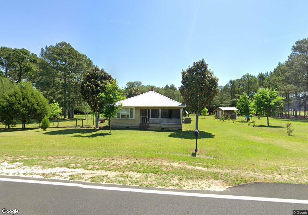
1714 Stephenson Rd Boston, GA 31626
Estimated Value: $219,726 - $358,000
3
Beds
2
Baths
1,750
Sq Ft
$151/Sq Ft
Est. Value
About This Home
This home is located at 1714 Stephenson Rd, Boston, GA 31626 and is currently estimated at $263,432, approximately $150 per square foot. 1714 Stephenson Rd is a home located in Thomas County with nearby schools including Hand in Hand Primary School, Garrison-Pilcher Elementary School, and Cross Creek Elementary School.
Ownership History
Date
Name
Owned For
Owner Type
Purchase Details
Closed on
Jan 20, 2009
Sold by
Citimortgage Inc
Bought by
Echols Charles and Echols Glenda
Current Estimated Value
Home Financials for this Owner
Home Financials are based on the most recent Mortgage that was taken out on this home.
Original Mortgage
$111,343
Outstanding Balance
$70,566
Interest Rate
5.23%
Mortgage Type
VA
Estimated Equity
$192,866
Purchase Details
Closed on
Jun 7, 2006
Sold by
Ovens Wendy Y
Bought by
Lott Lori
Home Financials for this Owner
Home Financials are based on the most recent Mortgage that was taken out on this home.
Original Mortgage
$142,000
Interest Rate
8.65%
Mortgage Type
New Conventional
Create a Home Valuation Report for This Property
The Home Valuation Report is an in-depth analysis detailing your home's value as well as a comparison with similar homes in the area
Home Values in the Area
Average Home Value in this Area
Purchase History
| Date | Buyer | Sale Price | Title Company |
|---|---|---|---|
| Echols Charles | $109,000 | -- | |
| Lott Lori | $142,000 | -- |
Source: Public Records
Mortgage History
| Date | Status | Borrower | Loan Amount |
|---|---|---|---|
| Open | Echols Charles | $111,343 | |
| Previous Owner | Lott Lori | $142,000 |
Source: Public Records
Tax History Compared to Growth
Tax History
| Year | Tax Paid | Tax Assessment Tax Assessment Total Assessment is a certain percentage of the fair market value that is determined by local assessors to be the total taxable value of land and additions on the property. | Land | Improvement |
|---|---|---|---|---|
| 2024 | $1,511 | $80,285 | $5,175 | $75,110 |
| 2023 | $1,471 | $73,002 | $4,140 | $68,862 |
| 2022 | $1,580 | $71,066 | $4,140 | $66,926 |
| 2021 | $1,445 | $59,003 | $3,600 | $55,403 |
| 2020 | $1,384 | $55,136 | $3,600 | $51,536 |
| 2019 | $1,400 | $55,136 | $3,600 | $51,536 |
| 2018 | $1,386 | $53,510 | $3,600 | $49,910 |
| 2017 | $1,406 | $53,411 | $3,600 | $49,811 |
| 2016 | $1,368 | $51,599 | $3,600 | $47,999 |
| 2015 | $1,335 | $49,594 | $3,600 | $45,994 |
| 2014 | $1,312 | $48,540 | $3,600 | $44,940 |
| 2013 | -- | $48,540 | $3,600 | $44,940 |
Source: Public Records
Map
Nearby Homes
- 1714 Stephenson Rd Unit one
- 1888 Stephenson Rd
- 1741 Stephenson Rd
- 1684 Stephenson Rd
- 1029 Stephenson Rd
- 0 Stephenson Rd
- 10.7 Ac. Stephenson Rd
- 0000 Stephenson Rd
- 00 Stephenson Rd
- 1395 Stephenson Rd
- 1890 Stephenson Rd
- 2109 Stephenson Rd
- 1284 Stephens Rd
- 1237 Stephenson Rd
- 2222 Stephenson Rd
- 210 Big Sky Ln
- 895 Stephenson Rd
- 878 Stephenson Rd
- 911 Stephenson Rd
- 332 Boyles Ln