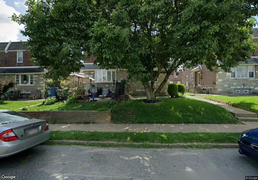
1714 Tustin St Philadelphia, PA 19152
Rhawnhurst NeighborhoodEstimated Value: $325,393 - $366,000
3
Beds
2
Baths
1,304
Sq Ft
$265/Sq Ft
Est. Value
About This Home
This home is located at 1714 Tustin St, Philadelphia, PA 19152 and is currently estimated at $346,098, approximately $265 per square foot. 1714 Tustin St is a home located in Philadelphia County with nearby schools including Farrell Louis H School, Northeast High School, and Tacony Academy Charter School.
Ownership History
Date
Name
Owned For
Owner Type
Purchase Details
Closed on
Apr 27, 2010
Sold by
Hetheringtonn Richard J and Hetheringtonn Linda M
Bought by
Milord Marie
Current Estimated Value
Home Financials for this Owner
Home Financials are based on the most recent Mortgage that was taken out on this home.
Original Mortgage
$192,351
Outstanding Balance
$130,929
Interest Rate
5.37%
Mortgage Type
FHA
Estimated Equity
$215,169
Purchase Details
Closed on
Mar 31, 1998
Sold by
Posteloff Frances
Bought by
Hetherington Richard J and Hetherington Linda M
Create a Home Valuation Report for This Property
The Home Valuation Report is an in-depth analysis detailing your home's value as well as a comparison with similar homes in the area
Home Values in the Area
Average Home Value in this Area
Purchase History
| Date | Buyer | Sale Price | Title Company |
|---|---|---|---|
| Milord Marie | $195,900 | First American Title Ins Co | |
| Hetherington Richard J | $89,900 | -- |
Source: Public Records
Mortgage History
| Date | Status | Borrower | Loan Amount |
|---|---|---|---|
| Open | Milord Marie | $192,351 |
Source: Public Records
Tax History Compared to Growth
Tax History
| Year | Tax Paid | Tax Assessment Tax Assessment Total Assessment is a certain percentage of the fair market value that is determined by local assessors to be the total taxable value of land and additions on the property. | Land | Improvement |
|---|---|---|---|---|
| 2025 | $3,320 | $297,500 | $59,500 | $238,000 |
| 2024 | $3,320 | $297,500 | $59,500 | $238,000 |
| 2023 | $3,320 | $237,200 | $47,440 | $189,760 |
| 2022 | $2,598 | $237,200 | $47,440 | $189,760 |
| 2021 | $2,598 | $0 | $0 | $0 |
| 2020 | $2,598 | $0 | $0 | $0 |
| 2019 | $2,366 | $0 | $0 | $0 |
| 2018 | $2,349 | $0 | $0 | $0 |
| 2017 | $2,349 | $0 | $0 | $0 |
| 2016 | $2,349 | $0 | $0 | $0 |
| 2015 | $2,249 | $0 | $0 | $0 |
| 2014 | -- | $167,800 | $35,204 | $132,596 |
| 2012 | -- | $22,272 | $3,327 | $18,945 |
Source: Public Records
Map
Nearby Homes
- 1712 Tustin St
- 1804 Megargee St
- 1716 Bergen St
- 1828 Megargee St
- 1711 Kendrick St
- 1832 Mower St
- 8606 Frontenac St
- 1834 Mower St
- 8614 Agusta St
- 1907 Tustin St
- 8562 Benton Ave
- 8523 Benton Ave
- 8563 Benton Ave
- 1617 Solly Ave
- 1702 Arthur St
- 2155 Benson St
- 2162 Strahle St
- 8870 Alton St
- 1704 Stanwood St
- 2201 Strahle St Unit C302
- 1716 Tustin St
- 1718 Tustin St
- 1710 Tustin St
- 1720 Tustin St
- 1708 Tustin St
- 1715 Megargee St
- 1717 Megargee St
- 1713 Megargee St
- 1722 Tustin St
- 1719 Megargee St
- 1706 Tustin St
- 1711 Megargee St
- 1709 Megargee St
- 1721 Megargee St
- 1704 Tustin St
- 1723 Megargee St
- 1724 Tustin St
- 1707 Megargee St
- 1702 Tustin St
- 1726 Tustin St