1714 Upper State Rd Doylestown, PA 18901
Estimated Value: $565,510 - $767,000
4
Beds
2
Baths
1,884
Sq Ft
$354/Sq Ft
Est. Value
About This Home
This home is located at 1714 Upper State Rd, Doylestown, PA 18901 and is currently estimated at $666,878, approximately $353 per square foot. 1714 Upper State Rd is a home located in Bucks County with nearby schools including Simon Butler Elementary, Unami Middle School, and Central Bucks High School - South.
Ownership History
Date
Name
Owned For
Owner Type
Purchase Details
Closed on
Jun 30, 1997
Sold by
Yondura Kathleen M
Bought by
Ranker Darryl L
Current Estimated Value
Home Financials for this Owner
Home Financials are based on the most recent Mortgage that was taken out on this home.
Original Mortgage
$147,600
Outstanding Balance
$21,829
Interest Rate
7.86%
Estimated Equity
$645,049
Purchase Details
Closed on
Jan 31, 1997
Sold by
Yondura Joseph P and Yondura Kathleen M
Bought by
Yondura Kathleen M
Create a Home Valuation Report for This Property
The Home Valuation Report is an in-depth analysis detailing your home's value as well as a comparison with similar homes in the area
Home Values in the Area
Average Home Value in this Area
Purchase History
| Date | Buyer | Sale Price | Title Company |
|---|---|---|---|
| Ranker Darryl L | -- | -- | |
| Yondura Kathleen M | -- | -- |
Source: Public Records
Mortgage History
| Date | Status | Borrower | Loan Amount |
|---|---|---|---|
| Open | Ranker Darryl L | $147,600 |
Source: Public Records
Tax History
| Year | Tax Paid | Tax Assessment Tax Assessment Total Assessment is a certain percentage of the fair market value that is determined by local assessors to be the total taxable value of land and additions on the property. | Land | Improvement |
|---|---|---|---|---|
| 2025 | $5,109 | $29,480 | $12,040 | $17,440 |
| 2024 | $5,109 | $29,480 | $12,040 | $17,440 |
| 2023 | $4,946 | $29,480 | $12,040 | $17,440 |
| 2022 | $4,849 | $29,480 | $12,040 | $17,440 |
| 2021 | $4,794 | $29,480 | $12,040 | $17,440 |
| 2020 | $4,794 | $29,480 | $12,040 | $17,440 |
| 2019 | $4,735 | $29,480 | $12,040 | $17,440 |
| 2018 | $4,735 | $29,480 | $12,040 | $17,440 |
| 2017 | $4,698 | $29,480 | $12,040 | $17,440 |
| 2016 | $4,698 | $29,480 | $12,040 | $17,440 |
| 2015 | -- | $29,480 | $12,040 | $17,440 |
| 2014 | -- | $29,480 | $12,040 | $17,440 |
Source: Public Records
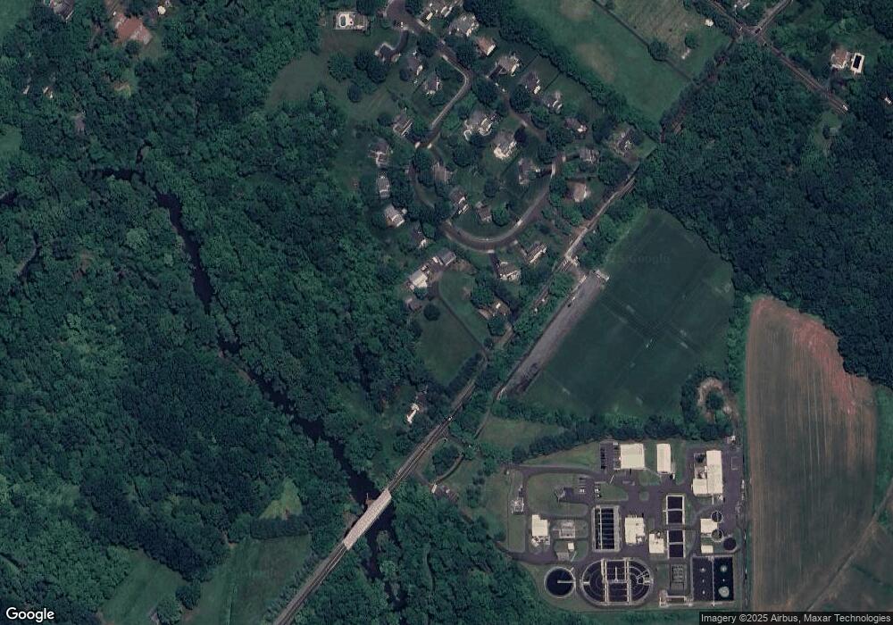
Map
Nearby Homes
- 204 Woodland Dr
- 10 W Butler Ave
- 8 E Butler Ave
- 11 W Butler Ave
- Lot 9 Butler
- 120 Beulah Rd
- 106 S Shady Retreat Rd
- 8 Elizabeth Ln
- 1 Elizabeth Ln
- 240 Green Valley Way
- 94 Sioux Rd
- 77 Lenape Dr
- 349 W Butler Ave
- 130 Jameson Way Unit 12 WARWICK END
- 124 Jameson Way Unit 9 WARWICK INTERIOR
- 128 Jameson Way Unit 11 WARWICK INTERIOR
- 126 Jameson Way Unit 10 WARWICK INTERIOR
- 122 Jameson Way Unit 8 STRATFORD INTERIOR
- 120 Jameson Way Unit 7 WARWICK END
- 0001 Jameson Way Unit BASE WARWICK INT
Your Personal Tour Guide
Ask me questions while you tour the home.