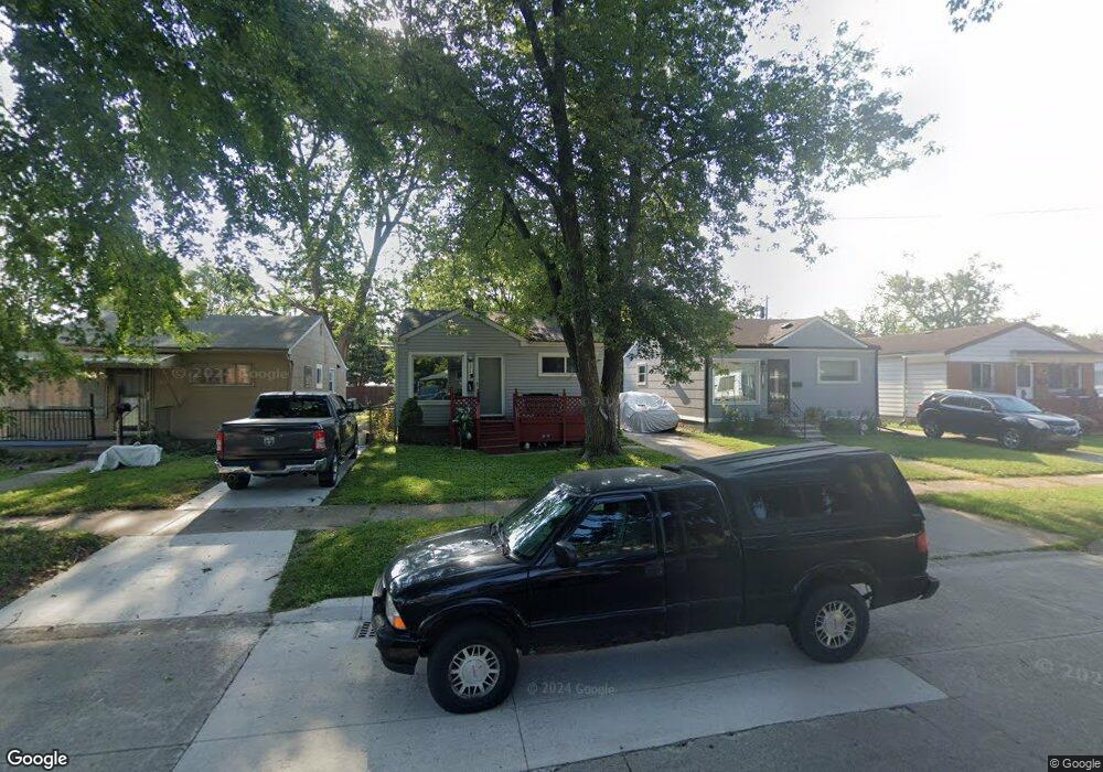
17140 Robert St Unit Bldg-Unit Melvindale, MI 48122
Estimated Value: $86,000 - $105,000
Studio
1
Bath
732
Sq Ft
$129/Sq Ft
Est. Value
About This Home
This home is located at 17140 Robert St Unit Bldg-Unit, Melvindale, MI 48122 and is currently estimated at $94,722, approximately $129 per square foot. 17140 Robert St Unit Bldg-Unit is a home located in Wayne County with nearby schools including Rogers Early Elementary School, Allendale Elementary School, and Julian O. Strong Middle School.
Ownership History
Date
Name
Owned For
Owner Type
Purchase Details
Closed on
Dec 20, 2018
Sold by
Jc Gemini Iii-D Llc
Bought by
Colon Richard
Current Estimated Value
Purchase Details
Closed on
Feb 9, 2012
Sold by
Varney Brenda K
Bought by
Fannie Mae
Purchase Details
Closed on
Jun 24, 1997
Sold by
Mark Bema and Mark Grabowski
Bought by
Brenda Varney
Purchase Details
Closed on
Dec 27, 1994
Sold by
Kritcher Margaret S
Bought by
Lorilyn Mark and Lorilyn Grabowski
Home Financials for this Owner
Home Financials are based on the most recent Mortgage that was taken out on this home.
Original Mortgage
$34,050
Interest Rate
9.27%
Mortgage Type
FHA
Create a Home Valuation Report for This Property
The Home Valuation Report is an in-depth analysis detailing your home's value as well as a comparison with similar homes in the area
Home Values in the Area
Average Home Value in this Area
Purchase History
| Date | Buyer | Sale Price | Title Company |
|---|---|---|---|
| Colon Richard | $34,500 | None Available | |
| Fannie Mae | $49,616 | None Available | |
| Brenda Varney | $40,000 | -- | |
| Lorilyn Mark | $33,000 | -- |
Source: Public Records
Mortgage History
| Date | Status | Borrower | Loan Amount |
|---|---|---|---|
| Previous Owner | Lorilyn Mark | $34,050 |
Source: Public Records
Tax History
| Year | Tax Paid | Tax Assessment Tax Assessment Total Assessment is a certain percentage of the fair market value that is determined by local assessors to be the total taxable value of land and additions on the property. | Land | Improvement |
|---|---|---|---|---|
| 2025 | $1,570 | $42,300 | $0 | $0 |
| 2024 | $1,523 | $37,600 | $0 | $0 |
| 2023 | $1,449 | $33,500 | $0 | $0 |
| 2022 | $2,328 | $29,800 | $0 | $0 |
| 2021 | $3,724 | $26,200 | $0 | $0 |
| 2020 | $2,243 | $24,700 | $0 | $0 |
| 2019 | $1,082 | $18,700 | $0 | $0 |
| 2018 | $1,889 | $13,800 | $0 | $0 |
| 2017 | $636 | $13,700 | $0 | $0 |
| 2016 | $1,027 | $13,000 | $0 | $0 |
| 2015 | $1,179 | $11,900 | $0 | $0 |
| 2013 | $1,210 | $12,100 | $0 | $0 |
| 2012 | $536 | $11,900 | $2,200 | $9,700 |
Source: Public Records
Map
Nearby Homes
- 17169 Harman St
- 17345 Hanna St
- 17263 Wood St
- 17646 Wood St
- 17506 Reed St
- 3082 Lindenwood Dr
- 18022 Harman St
- 3118 Lindenwood Dr Unit 61
- 3595 Elizabeth St
- 3575 Furgerson St
- 3051 Lindenwood Dr Unit 111
- 3352 Skyline Dr Unit 91
- 3511 Elizabeth St
- 17951 Prospect St
- 3492 Elizabeth St
- 001 Prospect St
- 18247 Harman St
- 0002 Prospect St
- 18254 Harman St
- 17371 Flint St
- 17140 Robert St
- 17146 Robert St
- 17154 Robert St
- 17134 Robert St
- 17162 Robert St
- 17170 Robert St
- 17149 Harman St
- 17175 Harman St Unit Bldg-Unit
- 17175 Harman St
- 17133 Robert St
- 4451 S Dearborn St
- 17163 Harman St
- 17163 Harman St
- 17183 Harman St
- 17176 Robert St
- 4441 S Dearborn St
- 17143 Robert St
- 17151 Robert St
- 4507 S Dearborn St
- 17191 Harman St
Your Personal Tour Guide
Ask me questions while you tour the home.