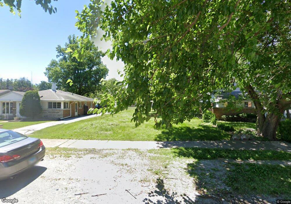
17144 Burnham Ave Lansing, IL 60438
Estimated Value: $80,000
3
Beds
1
Bath
1,689
Sq Ft
$47/Sq Ft
Est. Value
About This Home
This home is located at 17144 Burnham Ave, Lansing, IL 60438 and is currently priced at $80,000, approximately $47 per square foot. 17144 Burnham Ave is a home located in Cook County with nearby schools including Reavis Elementary School, Memorial Jr High School, and Thornton Fractnl So High School.
Ownership History
Date
Name
Owned For
Owner Type
Purchase Details
Closed on
Oct 15, 2019
Sold by
Williams Sharetta
Bought by
Village Of Lansing
Current Estimated Value
Purchase Details
Closed on
Oct 18, 2011
Sold by
Us Bank National Association Nd
Bought by
Williams Sharetta
Purchase Details
Closed on
Jul 13, 2011
Sold by
Aranki Johnnie
Bought by
U S Bank National Association
Purchase Details
Closed on
Aug 8, 2006
Sold by
Adamson Judy A
Bought by
Aranki Johnnie
Home Financials for this Owner
Home Financials are based on the most recent Mortgage that was taken out on this home.
Original Mortgage
$88,000
Interest Rate
8.1%
Mortgage Type
Unknown
Purchase Details
Closed on
May 1, 1995
Sold by
Mccourt Michael O
Bought by
Mccourt Lorri L
Create a Home Valuation Report for This Property
The Home Valuation Report is an in-depth analysis detailing your home's value as well as a comparison with similar homes in the area
Home Values in the Area
Average Home Value in this Area
Purchase History
| Date | Buyer | Sale Price | Title Company |
|---|---|---|---|
| Village Of Lansing | -- | Attorney | |
| Williams Sharetta | $4,000 | Fatic | |
| U S Bank National Association | -- | None Available | |
| Aranki Johnnie | $110,000 | Cti | |
| Mccourt Lorri L | -- | -- |
Source: Public Records
Mortgage History
| Date | Status | Borrower | Loan Amount |
|---|---|---|---|
| Previous Owner | Aranki Johnnie | $88,000 |
Source: Public Records
Tax History
| Year | Tax Paid | Tax Assessment Tax Assessment Total Assessment is a certain percentage of the fair market value that is determined by local assessors to be the total taxable value of land and additions on the property. | Land | Improvement |
|---|---|---|---|---|
| 2025 | $1,904 | -- | -- | -- |
| 2024 | $1,904 | -- | -- | -- |
| 2023 | $1,904 | -- | -- | -- |
| 2022 | $1,904 | -- | -- | -- |
| 2021 | $1,904 | $0 | $0 | $0 |
| 2020 | $1,904 | $0 | $0 | $0 |
| 2019 | $1,942 | $5,126 | $893 | $4,233 |
| 2018 | $1,904 | $5,126 | $893 | $4,233 |
| 2017 | $1,940 | $5,126 | $893 | $4,233 |
| 2016 | $1,715 | $4,385 | $825 | $3,560 |
| 2015 | $1,561 | $4,385 | $825 | $3,560 |
| 2014 | $1,554 | $4,385 | $825 | $3,560 |
| 2013 | $1,502 | $4,651 | $825 | $3,826 |
Source: Public Records
Map
Nearby Homes
- 17132 Walter St
- 17153 Walter St
- 17056 Burnham Ave
- 17053 Lorenz Ave
- 17318 Walter St
- 17226 Community St
- 17303 Roy St
- 17002 Lorenz Ave
- 3312 E 170th St
- 17303 Chicago Ave
- 1554 Burnham Ave
- 17335 Community St
- 3018 Bernice Rd Unit 205
- 17423 Walter St
- 3409 173rd Place
- 2938 173rd Place
- 17204 Bernadine St
- 395 166th St
- 3425 Bernice Ave
- 3514 170th Place
- 17144 Burnham Ave
- 17148 Burnham Ave
- 17154 Burnham Ave
- 17132 Burnham Ave
- 17158 Burnham Ave
- 17141 Greenbay Ave
- 17147 Greenbay Ave
- 17137 Greenbay Ave
- 17153 Greenbay Ave
- 17128 Burnham Ave
- 17133 Greenbay Ave
- 17157 Greenbay Ave
- 17141 Burnham Ave
- 17127 Greenbay Ave
- 17137 Burnham Ave
- 17133 Burnham Ave
- 17157 Burnham Ave
- 17202 Burnham Ave
Your Personal Tour Guide
Ask me questions while you tour the home.