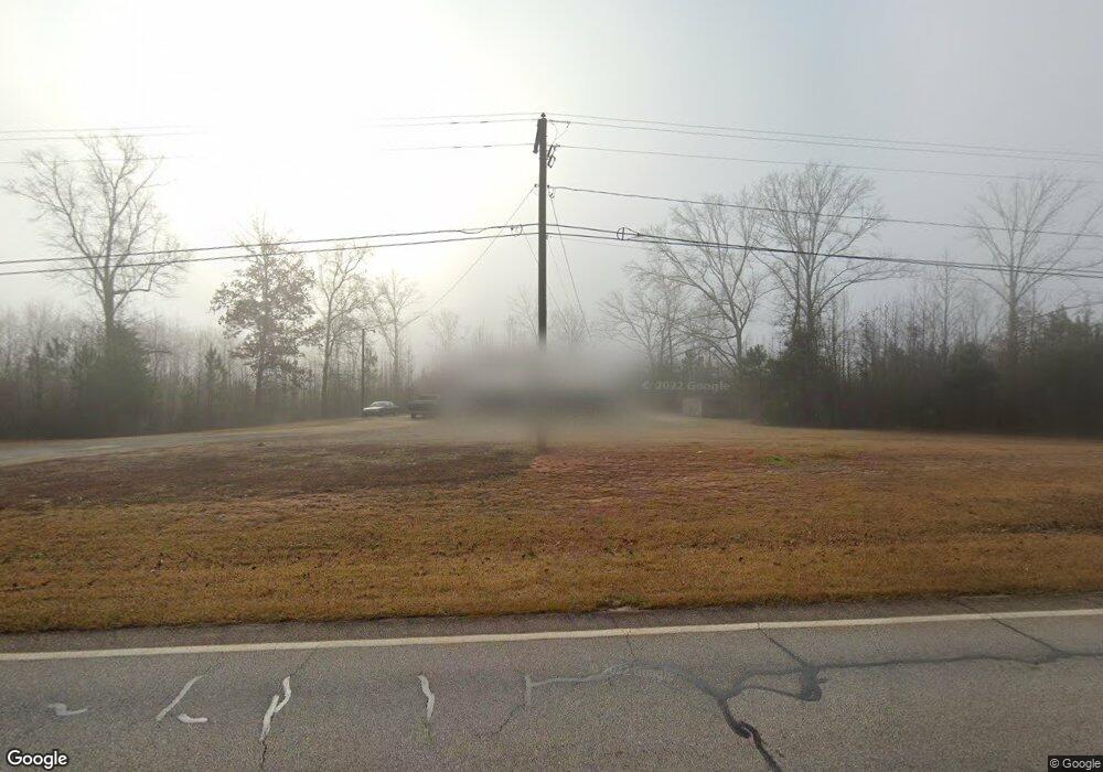
17146 Ga Highway 34 Franklin, GA 30217
Estimated Value: $99,000 - $264,000
2
Beds
1
Bath
960
Sq Ft
$165/Sq Ft
Est. Value
About This Home
This home is located at 17146 Ga Highway 34, Franklin, GA 30217 and is currently estimated at $158,608, approximately $165 per square foot. 17146 Ga Highway 34 is a home located in Heard County with nearby schools including Heard County High School.
Ownership History
Date
Name
Owned For
Owner Type
Purchase Details
Closed on
Aug 21, 2003
Sold by
Baxter Bonnie C
Bought by
Harman Samuel A
Current Estimated Value
Purchase Details
Closed on
Nov 14, 1995
Sold by
Adams Dorothy K
Bought by
Baxter Bonnie C
Purchase Details
Closed on
Apr 5, 1994
Sold by
J Kennedy B and J H
Bought by
Adams Dorothy K
Purchase Details
Closed on
Aug 1, 1985
Sold by
Ruffing Michael A
Bought by
J Kennedy B and J H
Purchase Details
Closed on
Jan 1, 1981
Sold by
Ware Bros
Bought by
Ruffing Michael A
Purchase Details
Closed on
Jan 1, 1901
Bought by
Ware Bros
Create a Home Valuation Report for This Property
The Home Valuation Report is an in-depth analysis detailing your home's value as well as a comparison with similar homes in the area
Home Values in the Area
Average Home Value in this Area
Purchase History
| Date | Buyer | Sale Price | Title Company |
|---|---|---|---|
| Harman Samuel A | $40,000 | -- | |
| Baxter Bonnie C | -- | -- | |
| Adams Dorothy K | $6,800 | -- | |
| J Kennedy B | $6,000 | -- | |
| Ruffing Michael A | $4,500 | -- | |
| Ware Bros | -- | -- |
Source: Public Records
Tax History Compared to Growth
Tax History
| Year | Tax Paid | Tax Assessment Tax Assessment Total Assessment is a certain percentage of the fair market value that is determined by local assessors to be the total taxable value of land and additions on the property. | Land | Improvement |
|---|---|---|---|---|
| 2024 | $625 | $30,974 | $14,016 | $16,958 |
| 2023 | $568 | $27,194 | $10,512 | $16,682 |
| 2022 | $482 | $23,095 | $6,135 | $16,960 |
| 2021 | $422 | $19,195 | $6,135 | $13,060 |
| 2020 | $421 | $18,989 | $6,135 | $12,854 |
| 2019 | $422 | $18,989 | $6,135 | $12,854 |
| 2018 | $430 | $18,989 | $6,135 | $12,854 |
| 2017 | $397 | $17,571 | $5,390 | $12,181 |
| 2016 | $397 | $17,571 | $5,390 | $12,181 |
| 2015 | -- | $16,528 | $8,214 | $8,314 |
| 2014 | -- | $16,529 | $8,214 | $8,314 |
| 2013 | -- | $20,431 | $8,214 | $12,216 |
Source: Public Records
Map
Nearby Homes
- 17426 Georgia 34
- 815 Birch Rd
- 38 Daniel Cir
- 642 Elm Rd
- 220 Dogwood Rd
- 19860 Georgia 34
- 19860 Ga Hwy 34
- 915 Pea Ridge Rd
- 0 Thomas Powers Rd Unit 10569332
- 0 Thomas Powers Rd Unit 5.54+/- ACRES
- 0 Thomas Powers Rd Unit 24228819
- 000 Us Highway 27
- 11520 US Highway 27
- 0 Newman Rd Unit 10559645
- 441 Newnan St
- 192 Hawk Rd
- 0 Tuscan Hills Rd Unit 10641286
- 284 Newnan St
- 325 Newnan St
- 323 Newman Rd
- 17100 Ga Highway 34
- 91 Alder Rd
- 17207 Ga Highway 34
- 17207 Ga Highway 34
- 17207 Ga Highway 34
- 17207 Ga Highway 34
- 17207 Ga Highway 34
- 17207 Georgia 34
- 17187 Ga Highway 34
- 0 Alder Rd
- 0 Alder Rd Unit 7158584
- 0 Alder Rd Unit 7164426
- 0 Alder Rd Unit 8761136
- 0 Alder Rd Unit 8276441
- 0 Alder Rd Unit 3269605
- 0 Alder Rd Unit 7150701
- 0 Alder Rd Unit 8486197
- 0 Alder Rd Unit 8554347
- 0 Alder Rd Unit 8633735
- 0 Alder Rd Unit 8612187