17149 Dennis Mitchell Rd Garfield, AR 72732
Estimated Value: $180,530 - $350,000
3
Beds
2
Baths
1,172
Sq Ft
$229/Sq Ft
Est. Value
About This Home
This home is located at 17149 Dennis Mitchell Rd, Garfield, AR 72732 and is currently estimated at $268,883, approximately $229 per square foot. 17149 Dennis Mitchell Rd is a home located in Benton County with nearby schools including Garfield Elementary School, Lingle Middle School, and Rogers Heritage High School.
Ownership History
Date
Name
Owned For
Owner Type
Purchase Details
Closed on
Dec 29, 2021
Sold by
Commissioner Of State Lands
Bought by
Wright Gary and Hazelbaker Christina
Current Estimated Value
Purchase Details
Closed on
Oct 25, 2001
Bought by
Grinder and Johnson
Purchase Details
Closed on
Aug 23, 2001
Bought by
Regions Bank (.70)
Purchase Details
Closed on
Feb 2, 2001
Bought by
Regions Bank
Purchase Details
Closed on
Jan 23, 2001
Bought by
Regions Bank
Purchase Details
Closed on
Sep 10, 1998
Bought by
Carter and Carter 30Ac
Purchase Details
Closed on
Dec 18, 1990
Bought by
Carter
Purchase Details
Closed on
Sep 20, 1984
Bought by
Thompson
Create a Home Valuation Report for This Property
The Home Valuation Report is an in-depth analysis detailing your home's value as well as a comparison with similar homes in the area
Home Values in the Area
Average Home Value in this Area
Purchase History
| Date | Buyer | Sale Price | Title Company |
|---|---|---|---|
| Wright Gary | $1,046 | None Listed On Document | |
| Grinder | $22,000 | -- | |
| Regions Bank (.70) | -- | -- | |
| Regions Bank | -- | -- | |
| Regions Bank | -- | -- | |
| Carter | $2,000 | -- | |
| Carter | $12,000 | -- | |
| Thompson | $34,000 | -- |
Source: Public Records
Tax History Compared to Growth
Tax History
| Year | Tax Paid | Tax Assessment Tax Assessment Total Assessment is a certain percentage of the fair market value that is determined by local assessors to be the total taxable value of land and additions on the property. | Land | Improvement |
|---|---|---|---|---|
| 2025 | $647 | $21,235 | $3,600 | $17,635 |
| 2024 | $595 | $21,235 | $3,600 | $17,635 |
| 2023 | $541 | $13,210 | $2,600 | $10,610 |
| 2022 | $689 | $13,210 | $2,600 | $10,610 |
| 2021 | $646 | $13,210 | $2,600 | $10,610 |
| 2020 | $604 | $8,420 | $760 | $7,660 |
| 2019 | $569 | $9,200 | $760 | $8,440 |
| 2018 | $176 | $9,200 | $760 | $8,440 |
| 2017 | $176 | $9,200 | $760 | $8,440 |
| 2016 | $176 | $9,200 | $760 | $8,440 |
| 2015 | $347 | $10,940 | $3,200 | $7,740 |
| 2014 | $176 | $10,940 | $3,200 | $7,740 |
Source: Public Records
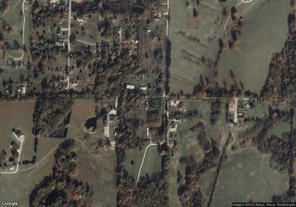
Map
Nearby Homes
- 17619 Dennis Mitchell Rd
- 3 Acres (Lot 3) 1610 Boundary Line Rd
- 3 acres(Lot 2) of 16 Boundary Line Rd
- 4.7 acres(Lot 1) of Boundary Line Rd
- 5 acres (Lot 5) 1610 Boundary Line Rd
- 13302 Byler Rd
- 22408 U S Highway 62
- 0 U S Highway 62
- 22606 Dam Site Loop
- 0 N Wimpy Jones Rd Unit 1316500
- 0 Taylor Barnett Rd Unit 1310978
- 0 Taylor Barnett Rd Unit 1310619
- 14848 Wild Honey Ln
- 18582 N Highway 127
- 5.32 Acres Deer Meadow Dr
- 18898 Sugar Creek Rd
- 18943 Highway 62
- 15047 U S 62
- 22AC Gann Ridge Rd
- 15829 N Wimpy Jones Rd
- 17108 Dennis Mitchell Rd
- 17173 Dennis Mitchell Rd
- 17111 Dennis Mitchell Rd
- 17185 Dennis Mitchell Rd
- 17177 Zachary Dr
- 17123 Zachary Dr
- 17176 Zachary Dr
- 17101 Zachary Dr
- 17140 Zachary Dr
- 14743 Paul Pratt Rd
- 17291 Dennis Mitchell Rd
- 14751 Paul Pratt Rd
- 17010 Dennis Mitchell Rd
- 14757 Paul Pratt Rd
- 17319 Dennis Mitchell Rd
- 17319 Dennis Mitchell Rd
- 14680 Ranchview Rd
- 14655 Ranchview Rd
- 14771 Paul Pratt Rd
- 17189 Dennis Mitchell Rd